11 October 2026
Mainly fine, with areas of early morning fog. Showers developing in the afternoon, possibly heavy with thunderstorms and hail, clearing in the evening. Northwesterlies developing for a time in the morning and afternoon.
Loading outdoor place details…
Boundary Stream area
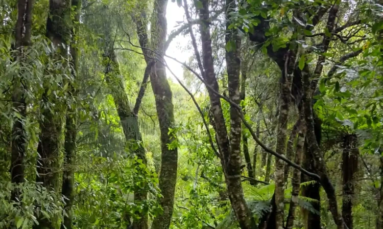
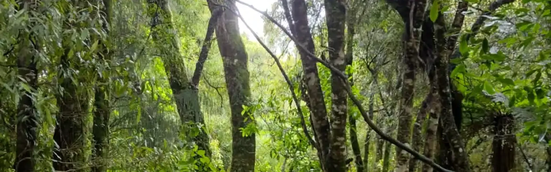
The walk passes through podocarp forest, passes an ancient mataī tree and a 'ghost forest' of regeneration kāmahi trees
Distance
4.5 km
Walking time
2 hr
Difficulty
Easy
Dogs
Not allowed
Wheelchair access
Not marked friendly
Current status
No active alerts found. Conditions can still change, so check again before leaving.
Weather outlook
Issued 10 Oct 2026, 11:01 pm
11 October 2026
Mainly fine, with areas of early morning fog. Showers developing in the afternoon, possibly heavy with thunderstorms and hail, clearing in the evening. Northwesterlies developing for a time in the morning and afternoon.
12 October 2026
Fine. Easterlies developing for a time in the afternoon.
13 October 2026
Fine. Northwesterlies developing in the morning.
14 October 2026
Fine apart from isolated showers. Northwesterlies.
15 October 2026
Showers developing. Northerlies, turning westerly.
Regional guidance only; elevation and terrain can produce different conditions.
Explore the area
Explore the track route and surrounding area before you set out.
The Kamahi Loop Track passes through mature podocarp forest for the first 400 metres. An ancient mataī grows near the junction of the loop track. Along the bluff tops, aerial displays from kererū, tūī and korimako/bellbird are often seen. Start from the Pohokura Road car park, cross the road and continue to the right to stay on Boundary Stream Track. After 400m you'll reach a junction with Tūmanako Loop Track which is first on the left, Kamahi Loop Track which is second on the left, and Boundary Stream Track which continues straight ahead. Turning off to follow Kamahi Loop, the track stays reasonably flat, before taking a steep descent downhill until rejoining Boundary Stream Track. Along the way you'll start to observe vegetation recovery and the diverse vegetation of the reserve. This ‘ghost forest’, a monoculture of kāmahi trees, sprang up after fires swept through the area around 100 years ago. On rejoining Boundary Stream Track, turn right and follow it back uphill to your starting point.
Private Land: Some sections of this walkway cross private land and visitors are asked to stick to the marked route, respect all signposted conditions of access. Toilets are available on Pohokura Road at the car park for Tū manoko Loop Track. Weather conditions can change rapidly. Be prepared and carry wet weather and warm clothing. Do not disturb traps, poison stations and other equipment – actively supervise your children. Camping is available at Lake Tūtira .
Maungaharuru is the most sacred and spiritual maunga (mountain) of the local hapū Ngāti Kurumōkihi. It was occupied by hapū and the ngahere (forest) was a source of food, rongoā (medicine) and resources. Boundary Stream is situated high on Maungaharuru. Maori oral tradition recounts the migration of the waka Tākitimu southwards, and a tohunga/high priest of the waka, Tūpai, who cast the staff Papauma high into the air. Papauma took flight and landed on the maunga. Papauma embodied the mauri (life force) of birdlife. The maunga rumbled and roared on receiving this most sacred of taonga (treasure), and the maunga proliferated with birdlife. It is said that the mountain roared every morning as the many birds took flight and every evening as they returned. Hence the name, Maungaharuru – the mountain that rumbled and roared. In 1882 Herbert Guthrie-Smith and Arthur Cunningham purchased the Tūtira Block, which included the Boundary Stream area. Logging and land development substantially reduced the forested area. Guthrie-Smith recorded the history of the area, which he published in the book Tutira, the story of a New Zealand sheep station. In 1976 the Shine family gifted the region’s highest waterfall and surrounding land, which was included in the Boundary Stream Scenic Reserve established in 1979. Land in the Bell Rock Track area was made available by the Heays family and included in the reserve in 1984. The Boundary Stream Reserve became a Mainland Island in 1996. Mainland islands aim to protect and restore habitats on the mainland of New Zealand through intensive management of introduced pests. They are called ‘mainland islands’ because they are defined areas isolated by fencing, geographical features or, more commonly, intensive management of pests.
Boundary Stream Scenic Reserve is 60km north of Napier. Follow State Highway 2 to Tutira, turn left at Tutira onto Matahorua Road then left onto Pohokura Road. Use this location in Google Maps to find your way there.
We encourage you to continue gaining the skills and knowledge required for a safe trip. The NZ Mountain Safety Council has lots of free resources and information you can use. These can be accessed via www.mountainsafety.org.nz . Level up in your outdoor knowledge with these interactive online learning tools: Trip Planning Tramping / field Skills Basic Navigation River Safety Additionally, check out the range of helpful videos available from the NZ Mountain Safety Council YouTube channel .
No dogs.
Track information, access and weather can change. Confirm current alerts and land-manager information close to departure, tell someone your plans, and carry equipment appropriate for the route and conditions.