10 October 2026
Fine spells. The odd shower, clearing this evening. Northerlies.
Loading outdoor place details…
Coromandel Forest Park
Karaka Track is one tramping option to reach Crosbies Hut. It is a shared use track up to Red Rocks and thereafter is a tramping track with emerging views to both coasts
Distance
13.56 km
Walking time
5 hr
Difficulty
Advanced
Dogs
On-lead only
Wheelchair access
Not marked friendly
Current status
No active alerts found. Conditions can still change, so check again before leaving.
Weather outlook
Issued 10 Oct 2026, 4:55 pm
10 October 2026
Fine spells. The odd shower, clearing this evening. Northerlies.
11 October 2026
Showers, possibly heavy, easing to the odd light shower by midday. Scattered rain developing late evening. Northwesterlies.
12 October 2026
Showers becoming isolated in the morning but remaining cloudy. Westerlies, turning northerly for a time in the morning and afternoon.
13 October 2026
Partly cloudy, with a few showers in the afternoon. Westerlies.
14 October 2026
A few showers clearing to fine in the afternoon. Northwesterlies.
Regional guidance only; elevation and terrain can produce different conditions.
Explore the area
Explore the track route and surrounding area before you set out.
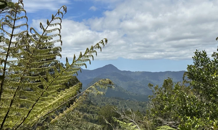
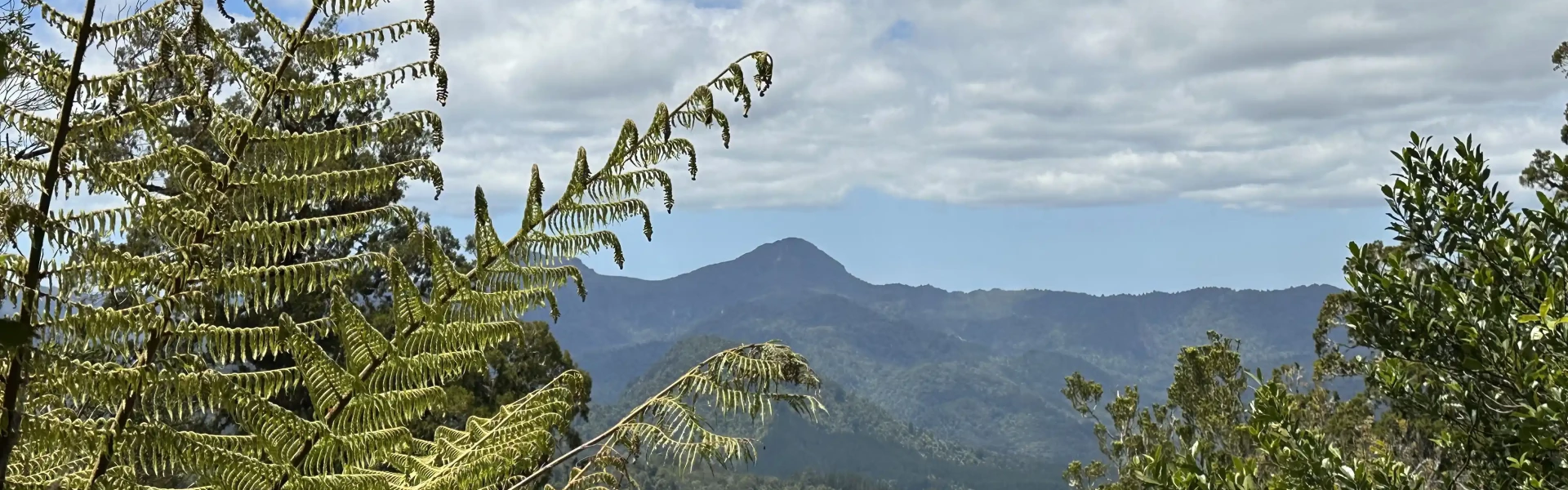
Karaka Track follows what was once a road to many gold mines along the ridgeline. It is now a shared use track with recent work completed by Thames Mountain Bike Club improving this from what once was a rugged track up to Red Bluffs or Red Rocks, which is 4km from the bottom. From here you'll be rewarded for the climb with great views looking towards Table Mountain. The track then flattens out as it contours along the eastern side of the ridge, but is often a muddy 2km past this to the junction with Waiotahi Track. It then follows the ridgeline, climbing to another junction, this time with with Taruru Track just past the 8km mark. From this point, the track undulates along the ridgetops for just over 5km to Crosbies Hut.
Along the way you’ll pass many reminders of the gold-mining history of Thames. Karaka Track was once a Council road, built to access the gold mining works. There are many shafts dug into the hills to access the seams of gold, it is advisable not to enter these as sometimes they experience rock falls.
Clean your footwear, tyres and equipment before and after visiting our kauri forests. If you are walking your dog, you should also make sure you clean their paws. Use cleaning stations every time you pass one while you are walking in a park. Stay on the tracks and keep off kauri roots. Stay away from closed tracks. Don't remove soil from, or bring soil into, areas with kauri trees.
Crosbies Hut is a serviced 10 bunk hut which requires booking online. It was built in 2010 and offers panoramic views of the Coromandel Main Range - north towards Maumaupaki and Mercury Bay and from the Firth of Thames in the west to Table Mountain and the Upper Kauaeranga Valley in the east. The lights of Whitianga are visible at night.
The track begins from the car park at the end of Karaka Rd, Thames. Use this location in Google Maps to find your way there.
We encourage you to continue gaining the skills and knowledge required for a safe trip. The NZ Mountain Safety Council has lots of free resources and information you can use. These can be accessed via www.mountainsafety.org.nz . We recommend trying these online learning tools: Trip Planning Tramping / field Skills Basic Navigation River Safety Additionally, check out the range of helpful videos available from the NZ Mountain Safety Council YouTube channel .
Dogs must be on a leash
Track information, access and weather can change. Confirm current alerts and land-manager information close to departure, tell someone your plans, and carry equipment appropriate for the route and conditions.