11 October 2026
Showers, possibly heavy, clearing to fine in the morning, then cloud and the odd shower developing at night. Northwesterlies.
Loading outdoor place details…
Karangahake Gorge
This track begins on the gorge floor and climbs steadily to the summit of Mount Karangahake, rising 500 metres above the Waitawheta River and the dramatic Karangahake Gorge below.
Distance
8.99 km
Walking time
2.5 - 3 hrs
Difficulty
Intermediate
Dogs
On-lead only
Wheelchair access
Not marked friendly
Current status
Weather outlook
Issued 10 Oct 2026, 11:01 pm
11 October 2026
Showers, possibly heavy, clearing to fine in the morning, then cloud and the odd shower developing at night. Northwesterlies.
12 October 2026
Occasional rain, clearing in the evening. Northwesterlies.
13 October 2026
Partly cloudy, with isolated showers in the afternoon and evening. Northwesterlies.
14 October 2026
Partly cloudy with isolated showers. Northwesterlies developing in the morning.
15 October 2026
Showers developing. Northerlies, turning westerly.
Regional guidance only; elevation and terrain can produce different conditions.
Explore the area
Explore the track route and surrounding area before you set out.
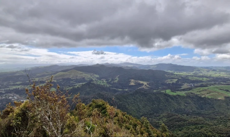
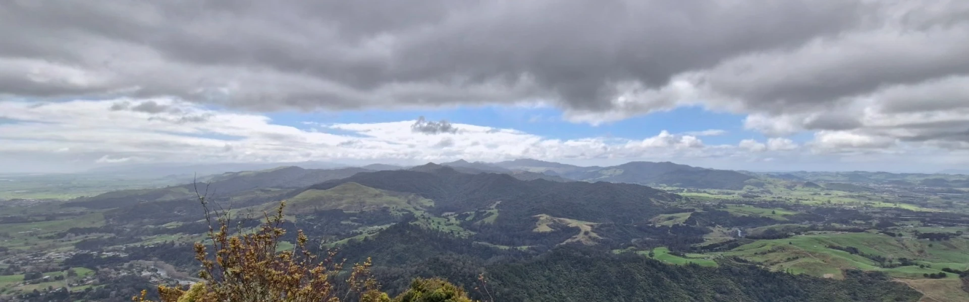
This loop combines several tracks into a single hike, starting from the Karangahake Gorge swing bridge. From the swing bridge, follow the green signs and take the upper right track into Scotsman Gully. This short trail (less than 1 km) winds beside the stream, with a crossing over large rocks. Turn left onto the 4WD Crown Track, then after 800 m take the right turn. The forest begins to close in, and on misty days you may already be walking through fog. After another 800 m (around 2.1 km total), turn left at a junction and begin the direct climb to the summit. This section is narrower, steeper, and can be muddy, with shrubs and grasses brushing against your legs. The ascent is steady and will test your cardio. As the trail flattens, look for an offshoot on the left leading to the trig point at Karangahake Summit. This short spur is technical but worth it for the magnificent views. From the top you can see across the Coromandel and Kaimai ranges, over vast plains, and even out to the distant ocean. Return the same way from the summit spur, then continue along the Mountain Summit Track. The descent is an easy downhill on a wide, graded path, with a few small stream crossings depending on recent rain. Along the way, keep an eye out for occasional mining tunnels that hint at the area’s gold-mining past. The loop reconnects with the Crown Track, leading you back towards the swing bridge where the walk began.
Mine tunnels and shafts are dangerous and may be hidden by vegetation. Keep to official marked tracks and do not enter tunnels unless they are clearly marked for public access.
From Tauranga, follow State Highway 2 north towards Karangahake, parking in the Karangahake Gorge Car Park. Parking is plentiful here, though it can be busy in summer; additional parking is available off Crown Hill Road, but beginning there shortens the walk and misses out on Scotsman Gully, a beautiful section with a stream cascading into the Ohinemuri River. Use this location in Google Maps to find your way there.
We encourage you to continue gaining the skills and knowledge required for a safe trip. The NZ Mountain Safety Council has lots of free resources and information you can use. These can be accessed via www.mountainsafety.org.nz . Level up in your outdoor knowledge with these interactive online learning tools: Trip Planning Tramping / field Skills Basic Navigation River Safety Additionally, check out the range of helpful videos available from the NZ Mountain Safety Council YouTube channel .
Dogs on leash only.
Track information, access and weather can change. Confirm current alerts and land-manager information close to departure, tell someone your plans, and carry equipment appropriate for the route and conditions.