10 October 2026
Cloud increasing, and light showers developing this evening.
Loading outdoor place details…
Fiordland National Park
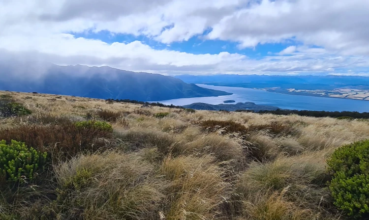
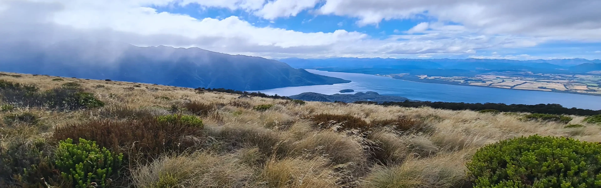
This is an excellent full day walk on the Kepler Track (a Great Walk) or overnight tramp to challenge young teenagers - it has swimming beaches, limestone cliffs and glorious mountain and lake views.
Distance
13.8 km
Walking time
8-10 hr return
Difficulty
Intermediate
Dogs
Not allowed
Wheelchair access
Not marked friendly
Current status
Weather outlook
Issued 10 Oct 2026, 7:33 am
10 October 2026
Cloud increasing, and light showers developing this evening.
11 October 2026
Showers, clearing in the afternoon but remaining cloudy with the odd shower lingering south of Secretary Island. Snow to 2100 metres in the north at first.
12 October 2026
Partly cloudy, with one or two morning showers south of Secretary Island.
13 October 2026
Heavy rain developing, with snow to 2400 metres.
14 October 2026
Showers, some possibly heavy. Snow lowering to 800 metres.
Regional guidance only; elevation and terrain can produce different conditions.
Explore the area
Explore the track route and surrounding area before you set out.
Starting at the Control Gates on the shores of Lake Te Anau and the start of the Waiau River, take the right-hand trail towards Brod Bay. The trail gently meanders through lush fern and beech forest for 6km (approx 1.5hrs) before reaching Brod Bay campsite (a great spot for a swim if the weather permits). Moving inland, the track now climbs steeply via a number of switchbacks up towards Luxmore Hut. Several sets of stairs help you navigate around an intimidating band of rocky cliffs and after about 3.5-4hrs the trees start to thin as you reach the bush line. From here it’s about 45 minutes before you’ll spot the welcome sight of Luxmore Hut. As you approach the hut you will see a side walk towards Luxmore caves. Leaving your heavy packs at the hut, yet remembering to bring a torch and some warm layers with you, this 10-minute diversion allows you a chance to see inside the mountain. After taking the stairs down into the cave look out for slippery rocks and water once you step on the cave floor. Return via the same route.
Luxmore Hut is situated in the alpine environment, so weather and temperatures may vary as you ascend to 1085m (a height gain of 868m). The total distance from the control gates to the hut is nearly 14km. The hike to Luxmore Hut can be completed as a day hike (with additional water taxi support from Brod Bay if desired), an overnight trip or extended to include the full Kepler Track which takes 3-4 days to complete in full.
There are toilet and camping facilities at Brod Bay as well as accommodation at the 50 bed Luxmore Hut if booked in advance.
Leave Te Anau via SH95 heading towards Manapouri. The Kepler Track is signposted to the right following the lake around to Dock Bay on Golf Course Road. It is a 5-10-minute drive from Te Anau or a 1 hour walk on a trail which follows the lake shore. Use this location in Google Maps to find your way there.
We encourage you to continue gaining the skills and knowledge required for a safe trip. The NZ Mountain Safety Council has lots of free resources and information you can use. These can be accessed via www.mountainsafety.org.nz . We recommend trying these online learning tools: Trip planning Tramping / field Skills Basic Navigation River Safety Additionally, check out the range of helpful videos available from the NZ Mountain Safety Council YouTube channel .
No dogs.
Track information, access and weather can change. Confirm current alerts and land-manager information close to departure, tell someone your plans, and carry equipment appropriate for the route and conditions.