10 October 2026
Cloudy. A few showers developing this afternoon, possibly heavy and thundery with hail.
Loading outdoor place details…
Nelson Lakes National Park
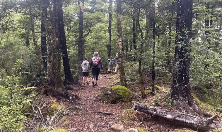
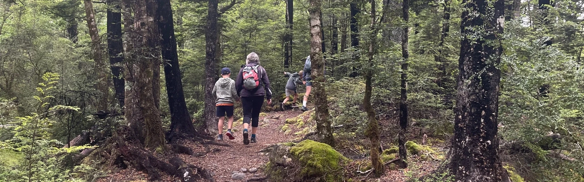
Beginning in the eastern corner of Kerr Bay, the Loop Track takes you well into the Rotoiti Nature Recovery Project area.
Distance
4.53 km
Walking time
1 hr 30 min
Difficulty
Easy
Dogs
Not allowed
Wheelchair access
Not marked friendly
Current status
Weather outlook
Issued 10 Oct 2026, 7:33 am
10 October 2026
Cloudy. A few showers developing this afternoon, possibly heavy and thundery with hail.
11 October 2026
Rain, easing early afternoon, clearing late afternoon. Snow to 2000 metres until afternoon.
12 October 2026
Fine.
13 October 2026
A few showers.
14 October 2026
Heavy rain easing.
Regional guidance only; elevation and terrain can produce different conditions.
Explore the area
Explore the track route and surrounding area before you set out.
Begin the journey on the Bellbird Walk which branches off into the Honeydew Walk , then turn left onto the St Arnaud Range/Loop Track. The track ascends a series of terraces to a creek junction before looping back downhill to the lakeshore, where it meets the Lakehead Track, leading back to the car park. Expect some muddy sections after rain. Keep an eye out for three species of beech mistletoe, recognizable by their red and yellow flowers in December and January—a sign of successful possum control efforts in the recovery project area.
Be prepared with warm and waterproof clothing. Nelson Lakes National Park is in an alpine area – freezing conditions can occur at any time of year. No rubbish facilities are provided – carry out all your rubbish. Biting sandflies can detract for your experience at the lakes, especially during the summer months – cover up and apply a good quality insect repellant to exposed skin. Wasps are a known hazard and are particularly common from December until April – carry antihistamine if you are allergic to their stings.
From SH63 in St Arnaud, turn left onto Kerr Bay Road and follow it down to the lake. There is plenty of parking at the lake edge next to the jetties on either side of the bay. At the eastern end next to the DOC campground, you will see a large information board with a map, and times and distances of the various tracks in the area. Use this location on Google Maps to help find your way there.
We encourage you to continue gaining the skills and knowledge required for a safe trip. The NZ Mountain Safety Council has lots of free resources and information you can use. These can be accessed via www.mountainsafety.org.nz . We recommend trying these online learning tools: Trip Planning Tramping / field Skills Basic Navigation River Safety Additionally, check out the range of helpful videos available from the NZ Mountain Safety Council YouTube channel
No dogs.
Track information, access and weather can change. Confirm current alerts and land-manager information close to departure, tell someone your plans, and carry equipment appropriate for the route and conditions.