10 October 2026
Mostly cloudy with showers, mainly about the ranges where some may be heavy. Northeasterlies, becoming strong in exposed places this afternoon.
Loading outdoor place details…
Westland
View the very large Londonderry Rock, which, during the Kumara Goldrushes, was too large for miners to move or break.
Distance
1.5 km
Walking time
45 minutes
Difficulty
Easy
Dogs
Allowed — check local rules
Wheelchair access
Not marked friendly
Current status
No active alerts found. Conditions can still change, so check again before leaving.
Weather outlook
Issued 10 Oct 2026, 4:55 pm
10 October 2026
Mostly cloudy with showers, mainly about the ranges where some may be heavy. Northeasterlies, becoming strong in exposed places this afternoon.
11 October 2026
Showers, possibly heavy, retreating to the ranges in the afternoon, clearing in the evening. Northeasterlies, dying out in the afternoon.
12 October 2026
Fine. Northerlies developing for a time in the afternoon.
13 October 2026
Rain becoming persistent in the morning. Light winds.
14 October 2026
Rain with heavy falls easing to a few showers in the afternoon. Light winds.
Regional guidance only; elevation and terrain can produce different conditions.
Explore the area
Explore the track route and surrounding area before you set out.
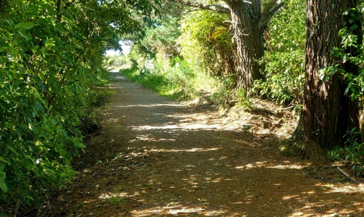
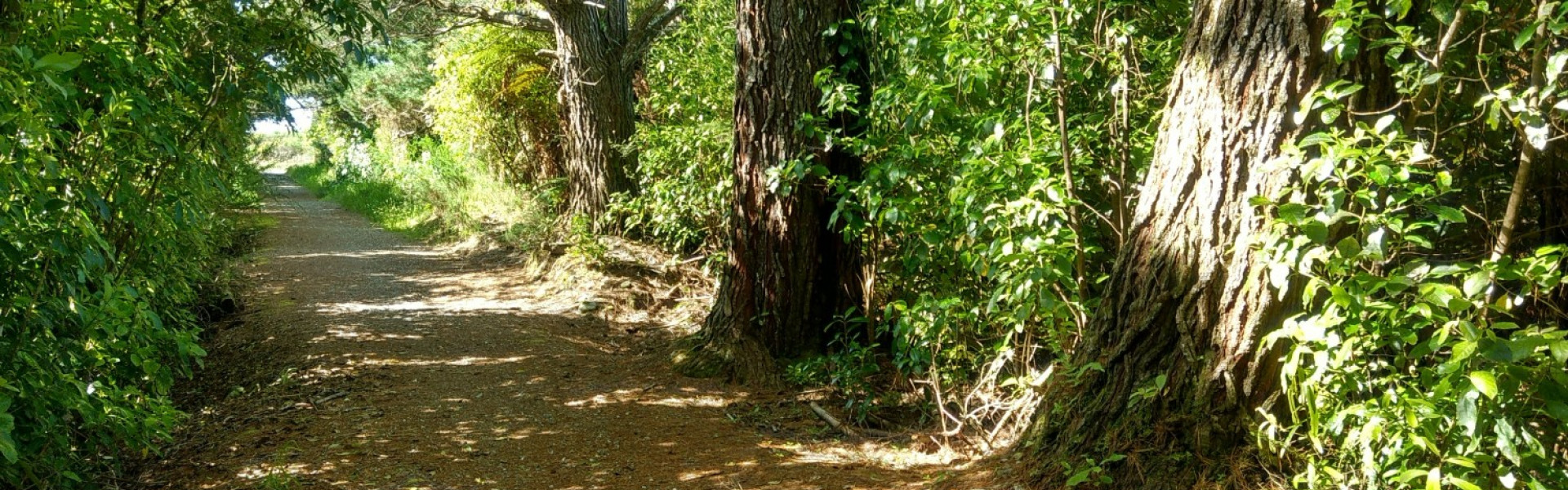
The track follows the wide, firm-surfaced Wilderness Trail cycle track through regenerating bush for 600m. At the right angle corner signposted to Londonderry Rock, take the left branch onto a firm but narrow track, venturing a further 500m through old gold trail diggings and past massive piles of rock tailings on which the track is formed. From here, you could return via the same route take a right turn and diversion to visit Londonderry Rock, or take the left turn and return via the power station water race access road, then follow the main road or cross over the main road and continue along Payns Track to avoid walking on the highway, to complete the loop back to town, around 3km.
Dogs with a DOC permit only. Contact the relevant DOC office to obtain a permit.
Park by the school, in 5th Street, near the eastern end of Kumara township. Walk to far end of 5th Street, and follow Wilderness Trail signs 300m up Larrikins Road, up a short rise to the start of the track.
This track is part of the Herenga ā Nuku Aotearoa track database. Herenga ā Nuku has maps and advice about public access to the outdoors . We encourage you to continue gaining the skills and knowledge required for a safe trip. The NZ Mountain Safety Council has lots of free resources and information you can use. These can be accessed via www.mountainsafety.org.nz . We recommend trying these online learning tools: Trip Planning Tramping/field Skills Basic Navigation River Safety Additionally, check out the range of helpful videos available from the NZ Mountain Safety Council YouTube channel .
Track information, access and weather can change. Confirm current alerts and land-manager information close to departure, tell someone your plans, and carry equipment appropriate for the route and conditions.