10 October 2026
Cloud increasing, then showers from around midday, possibly heavy and thundery inland. Northeasterlies developing this morning.
Loading outdoor place details…
Lewis Pass Scenic Reserve
This is a great walk for families with young children or those people new to tramping. The track is a well formed bench track that can also be completed as a day walk.
Distance
8.1 km
Walking time
3 hr one way
Difficulty
Intermediate
Dogs
Not allowed
Wheelchair access
Not marked friendly
Current status
Weather outlook
Issued 10 Oct 2026, 10:55 am
10 October 2026
Cloud increasing, then showers from around midday, possibly heavy and thundery inland. Northeasterlies developing this morning.
11 October 2026
A few showers, clearing in the evening. Northerlies, dying out in the evening.
12 October 2026
Mainly fine, rain at night. Northwesterlies developing for a time in the afternoon.
13 October 2026
Occasional rain. Light winds.
14 October 2026
Rain with heavy falls, easing in the evening. Northerlies, dying out in the morning.
Regional guidance only; elevation and terrain can produce different conditions.
Explore the area
Explore the track route and surrounding area before you set out.
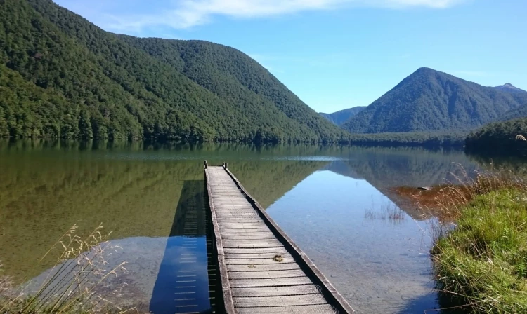
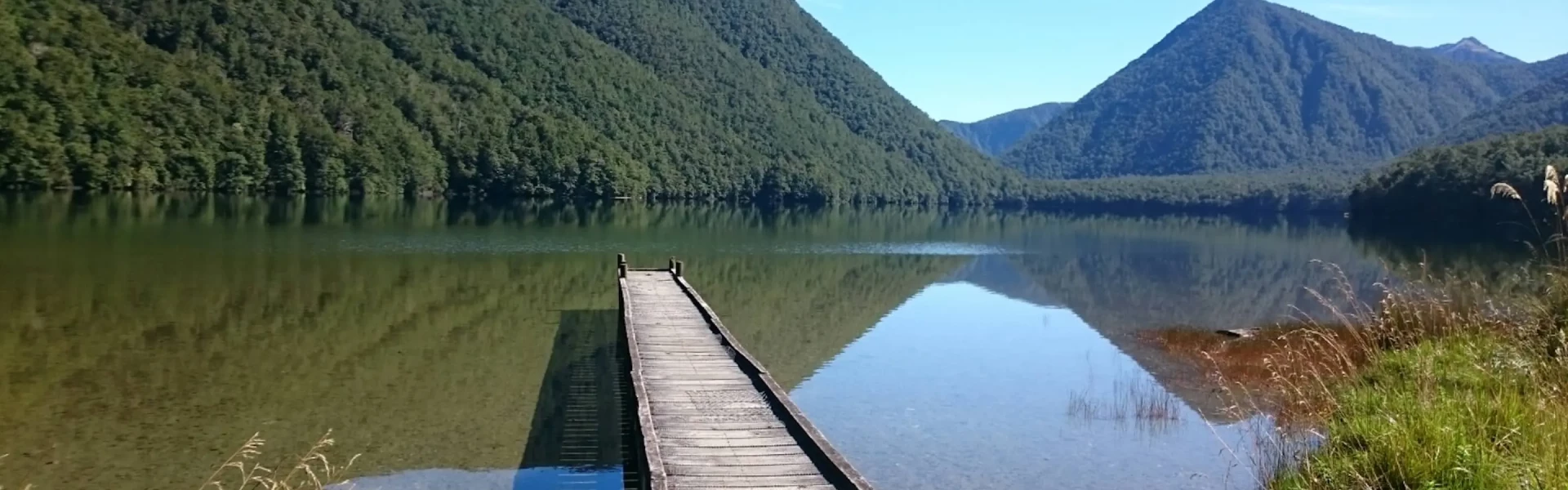
Time required : 3 hours Lake Daniell Track begins from the shelter at Marble Hill Campsite. From the campsite shelter, the track enters the trees and soon crosses the Maruia River over a deep, narrow gorge called the Sluice Box. From the Sluice Box the track continues up the Alfred River. The track passes through spendid red beech forest until it reaches the lake edge and the Kōhanga Atawhai – Manson Nicholls Hut.
Wasps can be common between December to April. Carry antihistamine if you are allergic to their stings.
Kōhanga Atawhai – Manson Nicholls Hut Marble Hill Campsite
The track starts at Marble Hill Campsite, 5 km east of Springs Junction on the Lewis Pass Highway (SH7). Turn off the highway onto a gravel road and drive several hundred metres till you come to a shelter on the left-hand side. Note that the 4WD track and hut on Station Creek/Sherriff River, 1.5 km north of the head of Lake Daniell, are located on private land. Access is only possible via Station Creek with permission from the landowners. Use this location in Google Maps to find your way there.
We encourage you to continue gaining the skills and knowledge required for a safe trip. The NZ Mountain Safety Council has lots of free resources and information you can use. These can be accessed via www.mountainsafety.org.nz . We recommend trying these online learning tools: Trip Planning Tramping / field Skills Basic Navigation River Safety Additionally, check out the range of helpful videos available from the NZ Mountain Safety Council YouTube channel .
No dogs.
Track information, access and weather can change. Confirm current alerts and land-manager information close to departure, tell someone your plans, and carry equipment appropriate for the route and conditions.