11 October 2026
Partly cloudy, with showers south of Doubtful Sound.
Loading outdoor place details…
Fiordland National Park
This easy loop walking track skirts a swampy area close to Lake Hauroko in southern Fiordland.
Distance
1.1 km
Walking time
40 min return
Difficulty
Easy
Dogs
Not allowed
Wheelchair access
Not marked friendly
Current status
Weather outlook
Issued 11 Oct 2026, 7:33 am
11 October 2026
Partly cloudy, with showers south of Doubtful Sound.
12 October 2026
Cloud with occasional drizzle.
13 October 2026
Heavy rain in the morning and afternoon, and snow to 2200 metres, otherwise mostly cloudy with isolated showers.
14 October 2026
Rain easing for a time. Snow lowering to 1200 metres.
15 October 2026
A few showers, turning to rain for a time. Snow to 800 metres.
Regional guidance only; elevation and terrain can produce different conditions.
Explore the area
Explore the track route and surrounding area before you set out.
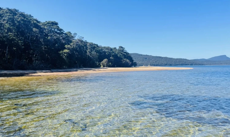
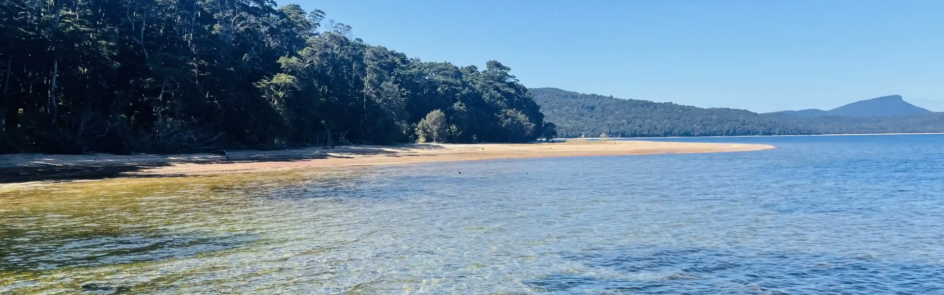
Track Description Enjoy this short loop track next to the deepest lake in New Zealand. Bring a camera to take photos of the crystal-clear lake. There’s plenty of birdlife around and a mixture of vegetation to admire. You’ll explore a wetland area as you complete the loop. One side of the loop is by the lake and the other is in the lush, green forest. The walk starts to the left of the toilet and is flat and easy. It’s suitable for all fitness types. There is a picnic area and toilet facilities by the carpark. Bring insect repellent as the sandflies are known to be abundant in the area. Adjacent to this track is the longer Lake Hauroko Lookout Track . This requires more fitness and more time to complete. Getting There It’s about a 2-hour drive from Invercargill and a 1.5-hour drive from Te Anau. Just north of the Tuatapere golf club on State Highway 99, turn inland onto Lillburn Valley Road. The last 20km of the journey is on a windy, gravel road. Use this location in Google Maps to find your way there. Helpful resources Find tips, guides and how-to videos to help you prepare for your walk at mountainsafety.org.nz
No dogs.
Track information, access and weather can change. Confirm current alerts and land-manager information close to departure, tell someone your plans, and carry equipment appropriate for the route and conditions.