11 October 2026
Scattered showers, becoming confined south of Doubtful Sound in the afternoon.
Loading outdoor place details…
Fiordland National Park
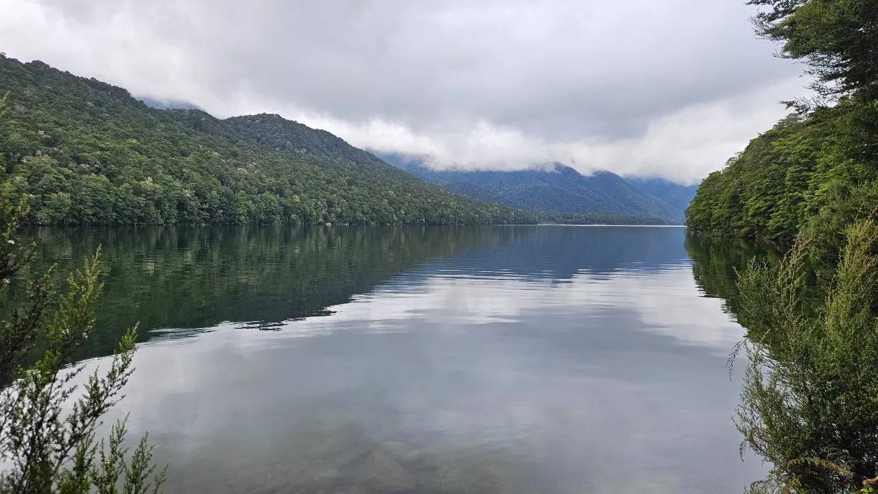
This pleasant, short walking track leads through beech forest to a lookout at Lake Monowai, Fiordland.
Distance
1 km
Walking time
30 min return
Difficulty
Easy
Dogs
Not allowed
Wheelchair access
Not marked friendly
Current status
No active alerts found. Conditions can still change, so check again before leaving.
Weather outlook
Issued 10 Oct 2026, 9:23 pm
11 October 2026
Scattered showers, becoming confined south of Doubtful Sound in the afternoon.
12 October 2026
Partly cloudy, with one or two morning showers south of Secretary Island.
13 October 2026
Heavy rain developing, with snow to 2400 metres.
14 October 2026
Rain, with snow to 1900 metres, turning to showers.
15 October 2026
Showers, with snow to 800 metres, easing.
Regional guidance only; elevation and terrain can produce different conditions.
Explore the area
Explore the track route and surrounding area before you set out.
Track Description This is an easy walk, suitable for the likes of those with tired muscles after a strenuous Fiordland tramp, or for families wanting a simpler walk. There’s about 25m of elevation change across the whole walk. You’re unlikely to have others around you on this remote track through lush beech forest. Lichens, mosses, and fungi hang from the trees. There are a couple of seats at the end so you can stop and appreciate the view of this beautiful lake. Most people take about half an hour on this outing. There’s plenty of parking in the car park. Take sandfly repellent with you. Toilets are located at the Lake Monowai campsite, adjacent to the carpark. Getting There The track is located about 45 minutes from both Lake Manapouri and Tuatapere. From the Southern Scenic Route (Blackmount-Redcliff Road), head west at Blackmount onto Lake Monowai road. The road continues for another 15 minutes at this point. There are no further turns. The carpark is at the end of Lake Monowai Road. You don’t need 4WD access but the final 8kms are on a gravel road. Use this location in Google Maps to find your way there. Helpful resources Find tips, guides and how-to videos to help you prepare for your walk at mountainsafety.org.nz
No dogs.
Track information, access and weather can change. Confirm current alerts and land-manager information close to departure, tell someone your plans, and carry equipment appropriate for the route and conditions.