10 October 2026
Partly cloudy. Easterlies, dying out in the evening.
Loading outdoor place details…
Kaweka Forest Park
An overnight or long day tramp from Lakes carpark to Mcakintosh carpark, via Mackintosh Hut
Distance
12 km
Walking time
5-6 hrs
Difficulty
Advanced
Dogs
Allowed — check local rules
Wheelchair access
Not marked friendly
Current status
No active alerts found. Conditions can still change, so check again before leaving.
Weather outlook
Issued 10 Oct 2026, 4:55 pm
10 October 2026
Partly cloudy. Easterlies, dying out in the evening.
11 October 2026
Mainly fine, with areas of early morning fog. Showers developing in the afternoon, possibly heavy with thunderstorms and hail, clearing in the evening. Northwesterlies developing for a time in the morning and afternoon.
12 October 2026
Fine, then a few showers developing about the ranges in the afternoon. Northeasterlies developing for a time in the afternoon.
13 October 2026
Mainly fine, but isolated showers in the afternoon. Northwesterlies developing in the morning.
14 October 2026
Fine, but becoming cloudy in the evening. Northwesterlies.
Regional guidance only; elevation and terrain can produce different conditions.
Explore the area
Explore the track route and surrounding area before you set out.
From Lakes Carpark, follow the track downhill to the right through pine trees to reach the Tutaekuri River. There is no bridge here, so assess the river carefully before crossing. If in doubt, stay out. Once across, the track climbs through kanuka and beech forest, crossing several ridges before following a tributary stream to a track junction. Mackintosh Hut is to the right, while the left-hand track (Mackintosh Spur Track) leads up to the Kaweka Range. From Mackintosh Hut, continue on the Mackintosh carpark to Mackintosh Hut track to reach the Mackintosh Carpark. The distance between the two carparks by road is approximately 2.5 kilometres.
This is a mountainous area. Be prepared for sudden weather changes, whiteouts, high winds on the ranges and rapidly rising water levels in rivers and streams. Pack for all conditions and be ready for weather delays, including with an emergency shelter, spare food and a distress beacon. This is a backcountry tramping track and it is rough, muddy and slippery (especially after rain). It is best suited to experienced trampers with backcountry skills. You will need sturdy boots with good grip. Do not cross if the river is flooded, you cannot find safe entry and exit points or are unsure it’s safe. Turn back or wait for the river to drop. If in doubt, stay out. Extreme fire conditions can exist during summer. The park is a restricted fire area, which means permits to light fires are required all year round.
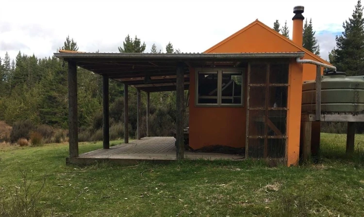
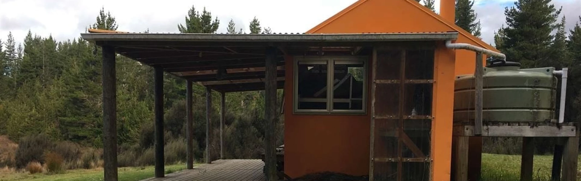
Mackintosh Hut
Kuripapango is located 76 km from Napier on the Napier/Taihape Road. To reach the Lakes carpark, turn off the Napier-Taihape Road onto Kuripapango Road and follow the signs to Lakes carpark. Use this location in Google Maps to find your way there.
We encourage you to continue gaining the skills and knowledge required for a safe trip. The NZ Mountain Safety Council has lots of free resources and information you can use. These can be accessed via www.mountainsafety.org.nz . Level up in your outdoor knowledge with these interactive online learning tools: Trip Planning Tramping / field Skills Basic Navigation River Safety Additionally, check out the range of helpful videos available from the NZ Mountain Safety Council YouTube channel .
Dogs with a DOC permit for recreational hunting or management purposes only.
Track information, access and weather can change. Confirm current alerts and land-manager information close to departure, tell someone your plans, and carry equipment appropriate for the route and conditions.