10 October 2026
Mostly cloudy, with the odd shower. Northerlies.
Loading outdoor place details…
Whareorino Conservation Area
This track leads to Leitch's clearing and Leitch's Hut.
Distance
10.2 km
Walking time
3 hours each way
Difficulty
Intermediate
Dogs
Allowed — check local rules
Wheelchair access
Not marked friendly
Current status
Weather outlook
Issued 10 Oct 2026, 4:55 pm
10 October 2026
Mostly cloudy, with the odd shower. Northerlies.
11 October 2026
Showers, possibly heavy with thunderstorms, clearing to fine spells in the afternoon. Periods of rain developing in the evening. Northwesterlies.
12 October 2026
Occasional rain, clearing inland in the morning but remaining cloudy. Westerlies, turning northerly before dawn.
13 October 2026
Mostly cloudy with isolated showers, becoming widespread for a time in the morning and afternoon. Northwesterlies developing in the morning.
14 October 2026
A few showers, turning to rain in the evening. Northwesterlies developing in the morning.
Regional guidance only; elevation and terrain can produce different conditions.
Explore the area
Explore the track route and surrounding area before you set out.
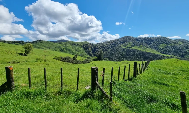
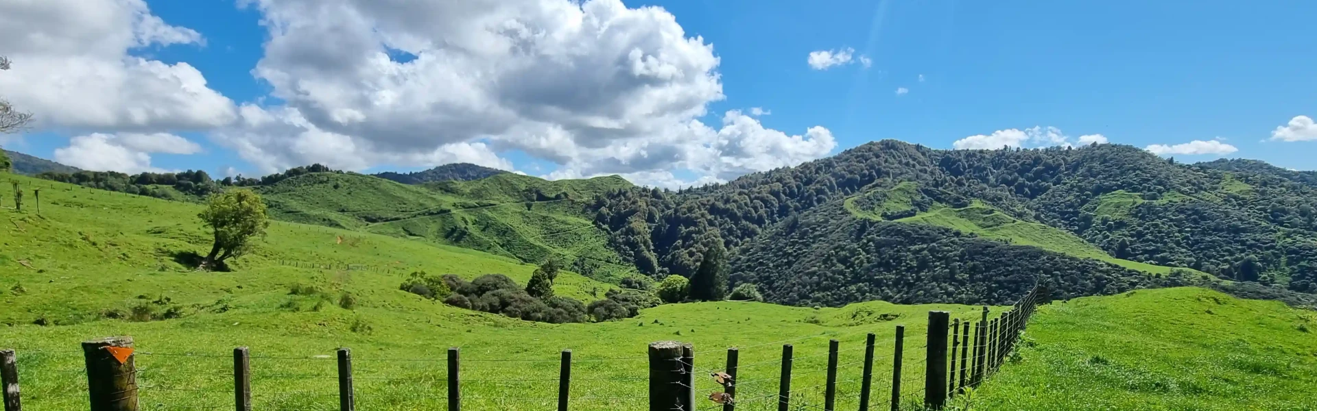
Leitch's Hut Track, located in Whareorino Forest, is a former surveyed road and is well graded, making this trip fantastic for families looking for an easy overnight tramp. Starting at a farm gate, the track passes through farmland as it climbs before entering the native forest. In wet weather, the track turns into a stream in places, so be prepared for wet and muddy boots. The track's namesake, Leitch's Hut, is as the trail's ultimate destination, and hikers are rewarded with a charming rustic hut. This historic hut, built by Sam Leitch as his home, was the placed at the midpoint of the farm he cleared and ran following World War 1.
Leitch's Hut is a 16-bunk hut with basic facilities. If you wish to stay in the hut, tickets may be purchased from the DOC office in Te Kuiti. Free camping is also allowed in Leitch’s Clearing but you will need to purchase tickets if you wish to use the hut facilities.
Whareorino Forest is approximately 45 km southwest of Te Kuiti. From Piopio, turn west onto Mangaotaki Road then onto Leitch Road. The car park and entrance to the track is at the end of the road. Leitch Road (5.5km) has a gravel surface. Use this location in Google Maps to find your way there.
We encourage you to continue gaining the skills and knowledge required for a safe trip. The NZ Mountain Safety Council has lots of free resources and information you can use. These can be accessed via www.mountainsafety.org.nz . We recommend trying these online learning tools: Trip Planning Tramping / field Skills Basic Navigation River Safety Additionally, check out the range of helpful videos available from the NZ Mountain Safety Council YouTube channel .
Dogs with a DOC permit only. Contact closest DOC office to get a permit.
Track information, access and weather can change. Confirm current alerts and land-manager information close to departure, tell someone your plans, and carry equipment appropriate for the route and conditions.