11 October 2026
Showers, possibly heavy, clearing in the afternoon with increasing fine spells. Low cloud developing late evening with drizzle about the western ranges. Northerlies, turning westerly around midday.
Loading outdoor place details…
Whanganui National Park
The Mangapurua Track is a stage of the Mountains to Sea Cycle Trail and can be combined with the Kaiwhakauka Track or a jet boat ride to make an amazing adventure.
Distance
35.5 km
Walking time
2 - 3 days
Difficulty
Advanced
Dogs
Not allowed
Wheelchair access
Not marked friendly
Current status
Weather outlook
Issued 10 Oct 2026, 11:01 pm
11 October 2026
Showers, possibly heavy, clearing in the afternoon with increasing fine spells. Low cloud developing late evening with drizzle about the western ranges. Northerlies, turning westerly around midday.
12 October 2026
Mostly cloudy with isolated showers. Light winds, then northwesterlies developing at night.
13 October 2026
A few showers. Northwesterlies.
14 October 2026
Partly cloudy with isolated showers developing in the morning. Northwesterlies developing in the morning.
15 October 2026
Showers, some possibly heavy. Northwesterlies.
Regional guidance only; elevation and terrain can produce different conditions.
Explore the area
Explore the track route and surrounding area before you set out.
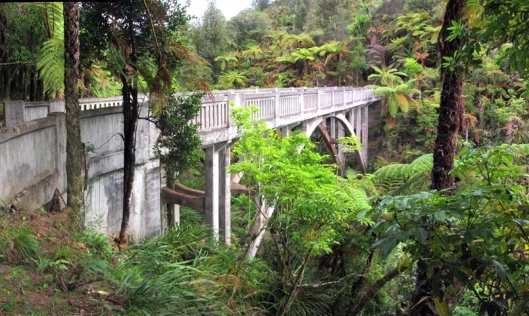
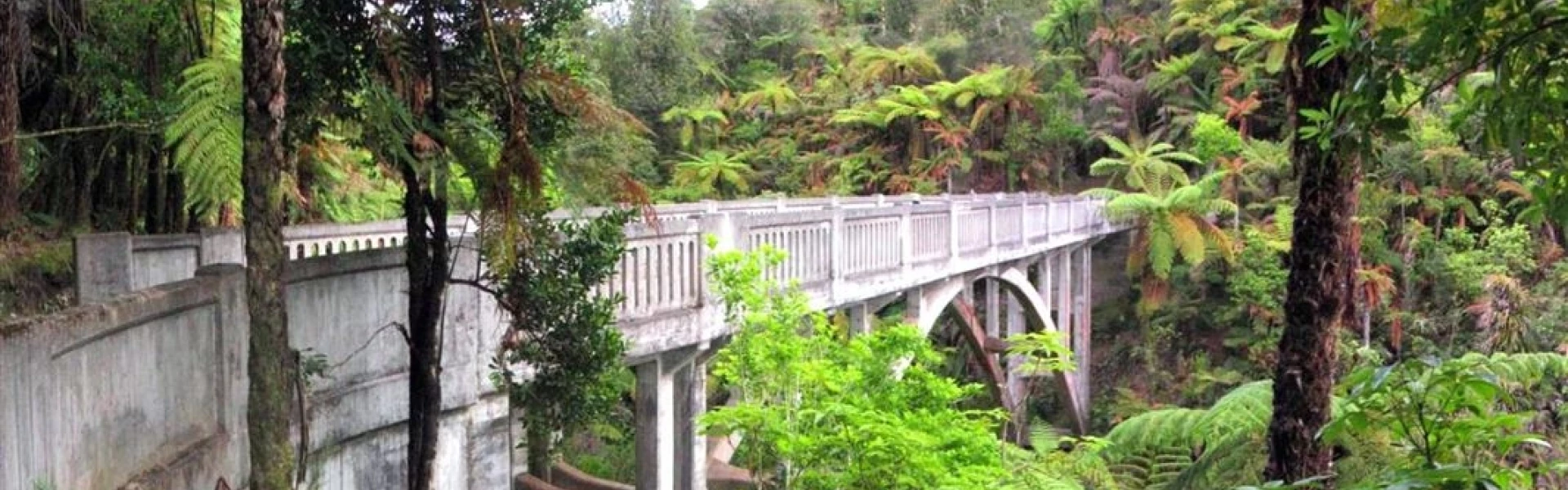
This track passes through the Whanganui National Park, past farms, native forest, bluffs, and ravines before crossing the Bridge to Nowhere, ending at Mangapurua Landing where you can catch a jet boat ride to Whakahoro Campsite or to Pīrīriki and on to further transport from there, or you can make it a return trip back to the start. Jet boat transfers must be pre-booked. See our friends at Ngā Haerenga/Great Rides of New Zealand for a trail map. Ruatītī Road end to the Mangapurua/Kaiwhakauka junction Time: 4 hr 30 min walking, 2 hr cycling Distance: 10.8 km Accessed from Ruatītī Road, the track climbs gently from the gate at the road end through private farmland, regenerating scrub and pockets of native bush. As you climb into hill country there are stunning views of the Tongariro National Park to the east. Mangapurua/Kaiwhakauka junction to Mangapurua Trig Time: 30 min walking, 15 min cycling Distance: 1.4 km Continue heading west towards the Whanganui River you'll soon reach the Mangapurua Trig sign. This area provides a lunch or camping spot, with water and toilet facilities. The water is from a spring on the inside of the road bend just past the trig and the toilets are located about 25 m off the main track on the original access road. A sidetrack leads up to a cleared viewpoint. On a fine day, there are sweeping views of Tongariro National Park to the east and Mt Taranaki to the west. Mangapurua Trig to Johnson’s Time: 2 hr walking, 1 hr cycling Distance: 6.8 km From the Trig the track heads steadily downhill, passing the only uncut section of forest in the Mangapurua Valley. The first swing bridge in the valley crosses Slippery Creek and a further 1.5 km along you reach Johnson’s. The large flat at Johnson’s makes a good camping spot. The campsite has a shelter, water supply and toilet. Johnson’s to Bettjeman’s Time: 1 hr walking, 30 min cycling Distance: 3.4 km There are a number of large flats in the upper valley as you head towards Bettjeman’s. Bettjeman’s to Hellawell’s Time: 1 hr 30 min walking, 45 min cycling Distance: 4.6 km The Bettjeman house site is easily identified by its straight row of poplars that line the old road. There is good water supply from the stream near this house site and a toilet. Roughly 1.5 km from Bettjeman’s is Bartrum’s swingbridge, access for quad traffic ends at this bridge. From Bartrum’s the valley becomes narrow with the track going around a series of bluffs. Care must be taken while crossing these bluffs as the Mangapurua Stream may be as much as 70m below – mountain bikers must dismount and walk, with your bike between you and the fall hazard. Hellawell’s to Bridge to Nowhere Time: 1 hr 30 min walking, 45 min cycling Distance: 5.7 km The track continues to follow the true left of the Mangapurua Stream before descending towards the Bridge to Nowhere. Continue along the narrow track which dips and climbs crossing streams and small bridges down the valley. Watch out for falling rocks while passing bluffs . Bridge to Nowhere to Mangapurua Landing Time: 40 min walking, 20 min cycling Distance: 2.7 km This section of track is well used by visitors to the Bridge to Nowhere. This can be a very busy section of track in the warmer months. Mountain bikers need to look out for walkers and vice versa. There are toilets halfway between the bridge and the river at Hunter’s Clearing and shelter near the landing.
Multi-use track The Mangapurua and adjoining Kaiwhakauka tracks are shared by trampers, mountain bikers, and hunters with dogs using quad bikes to access the upper Mangapurua Valley from Ruatītī Road to Bartrum’s Swingbridge. Fall risk There is a risk of falling on sections of this track due to cliffs. Keep to the marked track and avoid cliff edges. Keep children within sight and do not let them near edges. Weather conditions and slips These tracks are recommended as dry-weather experiences. The unmetalled track surface is extremely slippery and muddy in wet conditions. Check the weather before your trip. If there's been heavy rain, we recommend waiting a couple fine days to let the track firm up. Slippery conditions may be experienced at times, particularly during winter and early spring. Areas are prone to landslides at any time of year. Fires Fires are not permitted in the Mangapurua Valley. Water During dry periods, take extra water as shelters and streams may be dry or stagnant. Treat or boil all water before drinking. Wasps Wasps are a known hazard and are particularly common from January until May. Carry antihistamine if you are allergic to their stings. Communications This area is remote with no cell phone coverage. It is recommended that you carry an emergency alert device (eg PLB/Spot tracker). Cyclists Mangapurua Track is closed to cyclists each year from Kings Birthday to Friday before Labour Day. Take care on downhill sections. Look out for and be considerate of others. Signs will advise when to dismount your bike. Walk with your bike between you and the fall hazard. Take care while passing and watch out for falling rocks. You may need to lift or carry your bike in places. We recommend riders travel with two or more people as it is easier to pass bikes to each other. Dogs No dogs are permitted on the track. Hunting Hunting (with a permit) is allowed in most places throughout the year. Check the DOC website for exclusion zones and dates, and special conditions for hunting dogs.
There are no huts along the track. We recommend camping at sites with toilets. Do not camp under pine trees – tree limbs, and even entire trees, can fall unexpectedly. Mangapurua Campsite This is a boat or tramp in only campsite with 10 non-powered tent sites. There is no drive on access. In the Great Walks season (1 October 2023 – 30 April 2024) bookings are required Outside the Great Walks season (1 May 2023 – 30 September 2023) bookings are not required. Boil, filter or treat water – water from tap is not treated.
The Mangapurua Track can be accessed by road from Ruatītī Road, north of Raetihi on State Highway 4. The track can also be accessed by boat from the Whanganui River at the Mangapurua Landing. Note: River transport is necessary to and from the Mangapurua Landing and jetboats can be hired to carry your party either to Pipiriki or to Whakahoro Campsite on the Kaiwhakauka Track.
We encourage you to continue gaining the skills and knowledge required for a safe trip. The NZ Mountain Safety Council has lots of free resources and information you can use. These can be accessed via www.mountainsafety.org.nz . We recommend trying these online learning tools: Trip Planning Tramping / field Skills Basic Navigation River Safety Additionally, check out the range of helpful videos available from the NZ Mountain Safety Council YouTube channel
No dogs.
Track information, access and weather can change. Confirm current alerts and land-manager information close to departure, tell someone your plans, and carry equipment appropriate for the route and conditions.