11 October 2026
Showers, possibly heavy, clearing in the afternoon with increasing fine spells. Periods of rain developing west of Tauranga late evening. Northerlies, turning westerly in the afternoon.
Loading outdoor place details…
Mangorewa Ecological Area
This track passes through a fine example of lowland forest, one of the few areas left unlogged on the Mamaku Plateau.
Distance
9 km
Walking time
5 hr 30 min return
Difficulty
Expert
Dogs
Not allowed
Wheelchair access
Not marked friendly
Current status
No active alerts found. Conditions can still change, so check again before leaving.
Weather outlook
Issued 10 Oct 2026, 11:01 pm
11 October 2026
Showers, possibly heavy, clearing in the afternoon with increasing fine spells. Periods of rain developing west of Tauranga late evening. Northerlies, turning westerly in the afternoon.
12 October 2026
A few showers. Northwesterlies developing for a time in the afternoon and evening.
13 October 2026
A few showers. Northwesterlies developing in the morning.
14 October 2026
A few showers. Northwesterlies developing in the morning.
15 October 2026
A few showers, some possibly heavy. Northwesterlies.
Regional guidance only; elevation and terrain can produce different conditions.
Explore the area
Explore the track route and surrounding area before you set out.
The track entrance is 500 meters north of the car park, on the left. Carefully cross the road and walk north, against the traffic, along the narrow berm. After crossing the second bridge, 100 meters up the hill, carefully cross the road again to find the track entrance just behind the sign for the Mangorewa Ecological Area. The first section along the Ohaupara Stream is not well-marked. If it's dry, simply follow the creek bed, where you’ll occasionally spot markers on both banks. After about 1 km, the stream forks—take the left branch, and you’ll see the track climbing up the bank on your right. This begins a steep ascent to the ridge, followed by a well-formed track through beautiful podocarp forest. At around the 2.5 km mark, there’s another climb to the next plateau. This section of the track becomes more technical, with roots and obstacles requiring you to zig-zag around trees, but it is well-marked. From here, you’ll begin descending towards the Mangorewa Stream. The last third of the track follows the riverbed over very slippery rocks, so take extreme care. Exit the riverbed via the right bank just before the road bridge, where a small track will lead you back to the car park.
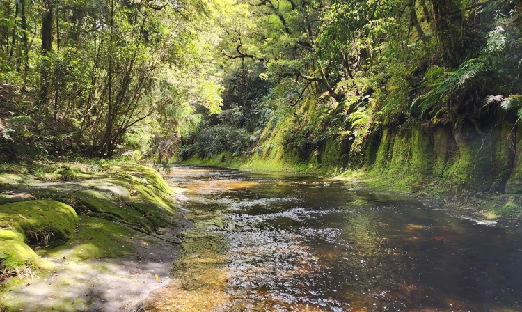
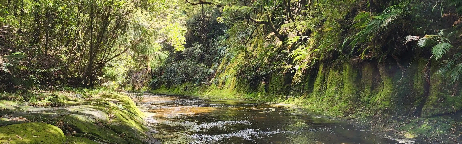
Walkers should take extreme care when walking beside this river, as the rocks are very slippery, and there are numerous deep potholes to avoid. It is also necessary to cross the river on several occasions. Do NOT attempt this if there has been any reasonable rain in days beforehand.
The Mangorewa Ecological Area is 20 km north of Rotorua on the western side of Tauranga Direct Road (SH 36). Coming from Rotorua, the car park is on the left just before the bridge at the bottom of the gorge area, next to the exit from Mangorewa Stream. The track entrance is 500 m north of the car park on the left. Carefully cross the road, walking north (against the traffic) and cross the second bridge. 100 m up the hill, carefully cross the road again to find the track entrance immediately behind the sign for the Mangorewa Ecological area. Use this location on Google Maps to help find your way there.
We encourage you to continue gaining the skills and knowledge required for a safe trip. The NZ Mountain Safety Council has lots of free resources and information you can use. These can be accessed via www.mountainsafety.org.nz . We recommend trying these online learning tools: Trip Planning Tramping / field Skills Basic Navigation River Safety Additionally, check out the range of helpful videos available from the NZ Mountain Safety Council YouTube channel
No dogs.
Track information, access and weather can change. Confirm current alerts and land-manager information close to departure, tell someone your plans, and carry equipment appropriate for the route and conditions.