11 October 2026
Cloudy periods. Westerlies easing this evening.
10° / 18°
Loading outdoor place details…
Whakarewarewa State Forest Park
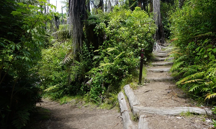
The Tokorangi Pa Track takes you through the tranquil Redwoods before a steady climb eastward to 500 metres above sea level. This is a very beautiful walk with views of Mt Ngongotaha, Rotorua City, the lake, airport and countryside.
Distance
11.5 km
Walking time
3 hours 30 mins
Difficulty
Intermediate
Dogs
On-lead only
Wheelchair access
Not marked friendly
Current status
No active alerts found. Conditions can still change, so check again before leaving.
Weather outlook
Issued 11 Oct 2026, 4:53 pm
11 October 2026
Cloudy periods. Westerlies easing this evening.
10° / 18°
12 October 2026
Morning cloud clearing to fine, then cloud returning mid-afternoon with a shower or two. Light winds and afternoon northerlies.
12° / 21°
13 October 2026
Partly cloudy, with the chance of a shower from morning. Northwesterlies developing in the morning.
12° / 20°
14 October 2026
A few showers, clearing in the evening. Northwesterlies developing in the morning.
11° / 20°
15 October 2026
Occasional rain clearing to fine in the afternoon. Northerlies, turning westerly in the morning.
7° / 18°
Regional guidance only; elevation and terrain can produce different conditions.
Explore the area
Explore the track route and surrounding area before you set out.
Tokorangi Pa Track is the longest of the three longer walking tracks through the Whakarewarewa Forest. As with the other two, the Pohaturoa (Yellow) Track and the Quarry Lookout (Green) Track , it starts and ends at the information centre on Long Mile Road, off Tarawera Road. The track is described below walking in a clockwise direction. It starts by heading south-west with the other walking trails along the Redwood Memorial Grove track , turning off onto Quarry Track to head up the hill almost to the ridgeline. The track then branches off to the right to join up with Tokorangi Pa Rd. Tokorangi Pa Rd is a forestry road, wide enough for a vehicle. It is shared with walkers, horse riders and mountain bikers. The walking track only follows the road for a short distance before continuing through tree cover on a track which runs roughly parallel with the road. As mountain biking tracks cross the track in places, use the map to check which way to go. The track re-emerges onto the road again and winds downhill to the town water supply tank next to Tarawera Rd. From here it is possible to follow the link track through the redwoods parallel to Tarawera Rd back down towards Long Mile Rd and the information centre. There is a small parking area on Tarawera Rd near the water tank, from where the track can also be accessed. Tokorangi Pa Track continues downhill in a southerly direction, following Pipeline Rd for about a kilometre before turning onto Tickler Link and then The Wash for approximately 800m. The track then heads uphill, with numerous steps through the trees before emerging at the treatment plant along Katore Road. From here, the return is straight forward, following Katore Rd to Nursery Rd, then turning right to follow Nursery Rd down to the redwoods and back to the information centre.
The track consists of a loop, marked for walking in a clockwise direction. A significant part of the track does not have any shade from trees, so you will need sun protection and water. As the track intersects with many others along the way, bring a map with you as well as the track description.
This trail starts from the Redwoods Visitor Centre on Longmile Road, in Rotorua East. Use this location in Google Maps to find your way there.
We encourage you to continue gaining the skills and knowledge required for a safe trip. The NZ Mountain Safety Council has lots of free resources and information you can use. These can be accessed via www.mountainsafety.org.nz . We recommend trying these online learning tools: Trip Planning Tramping / field Skills Basic Navigation River Safety Additionally, check out the range of helpful videos available from the NZ Mountain Safety Council YouTube channel
Dogs allowed on a leash
Track information, access and weather can change. Confirm current alerts and land-manager information close to departure, tell someone your plans, and carry equipment appropriate for the route and conditions.