11 October 2026
Showers, possibly heavy, clearing to fine in the morning, then cloud and the odd shower developing at night. Northwesterlies.
Loading outdoor place details…
Northern Coromandel
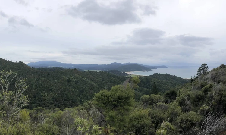
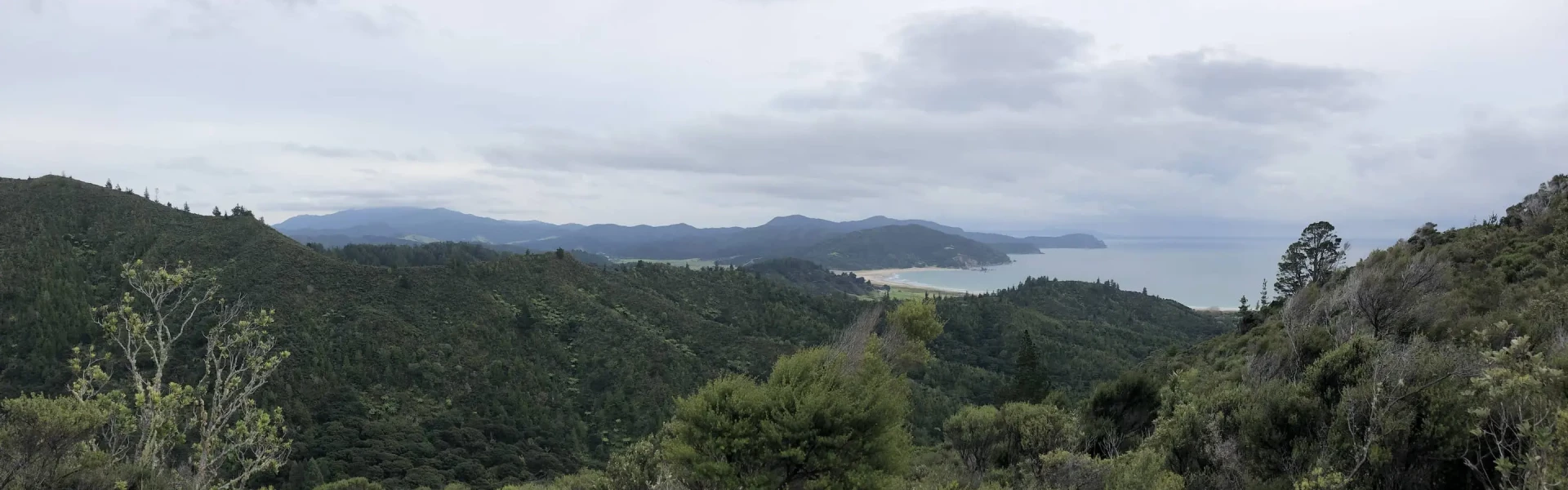
Part of the original Waikawau to Kennedy Bay route used by gold miners and loggers. It goes up the main ridge past a series of lookouts giving views over bush covered hills to coast and islands.
Distance
6.5 km
Walking time
3 hr
Difficulty
Advanced
Dogs
Not allowed
Wheelchair access
Not marked friendly
Current status
Weather outlook
Issued 10 Oct 2026, 11:01 pm
11 October 2026
Showers, possibly heavy, clearing to fine in the morning, then cloud and the odd shower developing at night. Northwesterlies.
12 October 2026
Occasional rain, clearing in the evening. Northwesterlies.
13 October 2026
Partly cloudy, with isolated showers in the afternoon and evening. Northwesterlies.
14 October 2026
Partly cloudy with isolated showers. Northwesterlies developing in the morning.
15 October 2026
Showers developing. Northerlies, turning westerly.
Regional guidance only; elevation and terrain can produce different conditions.
Explore the area
Explore the track route and surrounding area before you set out.
Originally used by gold miners and loggers, the track climbs steadily along the main ridge to the summit at 344 m above sea level before descending gradually towards the Matamataharakeke Stream. The track then continues under the forest canopy and beside the stream until the loop is closed at the end. The track can be walked in either direction.
There is a good amount of clay in the substrate, making some sections muddy and slippery in winter or after heavy rain No dogs are allowed
Clean your footwear, tyres and equipment before and after visiting our kauri forests. If you are walking your dog, you should also make sure you clean their paws. Use cleaning stations every time you pass one while you are walking in a park. Stay on the tracks and keep off kauri roots. Stay away from closed tracks. Don't remove soil from, or bring soil into, areas with kauri trees.
The track begins at Waikawau Bay campsite . This spacious, family friendly, scenic campsite is nestled beside a stunning white sand beach. The untouched Waikawau Bay is a fabulous place to relax on the beach, fish, swim, kayak or explore.
Head northwest on State Hwy 25. Continue onto Colville Rd. Turn right onto Port Charles Rd. Turn right onto Waikawau Beach Rd. Park at the back of the Pump paddock at the Waikawau Campsite and continue on foot to the Matamataharakeke Stream track start. Use this location in Google Maps to find your way there.
We encourage you to continue gaining the skills and knowledge required for a safe trip. The NZ Mountain Safety Council has lots of free resources and information you can use. These can be accessed via www.mountainsafety.org.nz . We recommend trying these online learning tools: Trip Planning Tramping / field Skills Basic Navigation River Safety Additionally, check out the range of helpful videos available from the NZ Mountain Safety Council YouTube channel .
No dogs.
Track information, access and weather can change. Confirm current alerts and land-manager information close to departure, tell someone your plans, and carry equipment appropriate for the route and conditions.