10 October 2026
Cloudy with showers, mainly about the ranges where some may be heavy. Northeasterlies, strong in exposed places.
Loading outdoor place details…
Mikonui River - Kakapotahi River area
The Dickie Ridge/Tuke River Route provides a link to challenging alpine tramping opportunities and gives access to the Waitaha and Whitcombe catchments.
Distance
14.61 km
Walking time
2-3 days
Difficulty
Advanced, Expert
Dogs
Allowed — check local rules
Wheelchair access
Not marked friendly
Current status
No active alerts found. Conditions can still change, so check again before leaving.
Weather outlook
Issued 10 Oct 2026, 11:01 pm
10 October 2026
Cloudy with showers, mainly about the ranges where some may be heavy. Northeasterlies, strong in exposed places.
11 October 2026
Showers, possibly heavy, retreating to the ranges in the afternoon, clearing in the evening. Northeasterlies, dying out in the afternoon.
12 October 2026
Fine. Northwesterlies developing for a time in the afternoon.
13 October 2026
Rain developing in the morning. Northerlies developing in the morning.
14 October 2026
Rain, with heavy falls. Light winds.
Regional guidance only; elevation and terrain can produce different conditions.
Explore the area
Explore the track route and surrounding area before you set out.
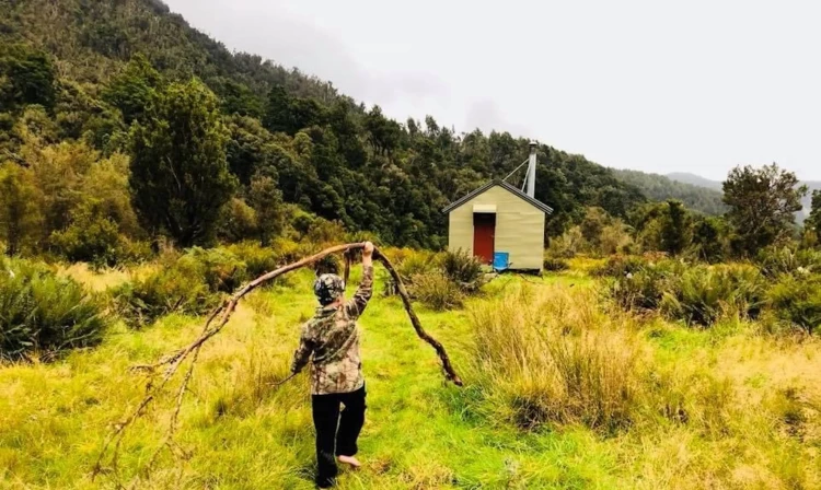
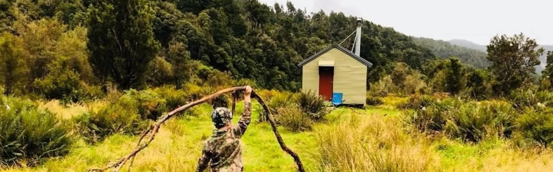
Time: 1 hr - 1 hr 30 min From the car park at the road end, stay on the true right of the river and head upstream to a well-defined benched track. This track skirts the edge of a terrace before gently descending back to the river flats. Follow the marker poles with orange triangles across the flats, passing an old homestead, to reach the Mikonui River bed. Upstream of the Mikonui and Tuke Rivers' confluence, cross the river to the true left bank. Continue following the poles and orange triangles across the flats to reach Mikonui Flat Hut. The river is often split into two or three channels above the confluence, making it an ideal crossing point. Mikonui Flat Hut offers 6 bunks and a wood stove, providing a comfortable overnight stop. Nearby, the Tuke River features excellent swimming holes, though the water is cold.
Time: 5 - 6 hr From the hut, follow markers up the valley through grassy flats and scattered scrub, staying near the bush edge for about 200 meters until you reach the start of the Dickie Ridge Track branching off to the right. The track ascends onto a low terrace before climbing steadily to a high point, bypassing a short gorge in the lower Tuke River. From there, it descends steeply back to the river, crossing a swing bridge at the upper end of the gorge. Beyond the swing bridge, the track drops onto the riverbed. Continue up the riverbed on the true left until you spot a large orange triangle. This marks the beginning of a steep track climbing to a terrace, which then sidles around to Truran Pass. At the pass, follow the orange markers along a spur heading southeast. Pass the turn-off to Polluck Creek as the climb becomes steeper. The spur narrows into Dickie Ridge, and at approximately 1,200 meters, a marker pole indicates the turn-off to Dickie Spur Hut. Be cautious in misty conditions, as the markers leading to the hut can be difficult to locate. Note that the hut has no heating.
Time: 4 - 5 hr From the hut, follow the route back up to Dickie Ridge. Ascend past spot height 1,326 m to spot height 1,296 m, then descend steeply into the Tuke River Valley via the small creek below. Exercise caution, especially in wet tussock or snowy conditions. Follow the creek downstream until you see a large orange triangle, marking the start of the track from the true right of the creek to the Tuke River. (For those ascending from the Tuke River to spot height 1,296 m, ensure you follow the correct stream branch, generally taking the left branch each time. Small rock cairns help guide the way.) The track quickly sidles to drop into the Tuke River just above the upper Tuke Gorge. From here, the route primarily follows the riverbed on the true left, navigating large boulders. Orange markers indicate a crossing to the true right for a section of track, though many prefer to stay on the true left until nearing the hut. About 20 minutes below Top Tuke Hut, a short section of track on the true left sidles around a gorge. Look for a large orange triangle marking the start of the track from the riverbed up to the hut. The track begins at the mouth of a small stream entering the Tuke River. Cross the river at the most suitable location to reach this point. Note that the swing bridge shown on older maps no longer exists. From here, it is a short but steep climb to the Top Tuke Hut .
From the Top Tuke Hut follow the track back down to the Tuke River. Travelling upstream from here; some orange markers, some open riverbed travel and short sections of track lead to a major spur giving access to Mt Beaumont and beyond. There are a few marker poles on this spur which are placed to help define the way down more than to mark a route up. From this point the route is unmarked. Mount Beaumont can be used as a launching point for access to the Whitcombe via Steadman Brow, to Healey Spur via Galena Ridge or to Ivory Lake and the Waitaha.
Routes past Mikonui Flat Hut are suitable for fit, well equipped and experienced backcountry trampers only. Best conditions are during summer and autumn. Snow and ice can be on alpine sections during winter. Progress may be slowed by storm damage to the route and re-growth of vegetation. Bad weather and track damage may mean you need to allow for possible delays. Huts contain no cooking equipment so you'll need to pack this. A tent or fly should also be carried. Flooded rivers and side streams; ice and snow during winter. Winter travel beyond Dickie Spur Hut while best avoided, requires the use of ice axes and crampons.
Access into the upper Mikonui Valley is via the Totara Valley Road. Turn east off SH6 into Totara Valley Road just north of Ross. This road winds its way to and over the low Totara Saddle and ends at the Mikonui River flats. Road conditions vary, for current road conditions contact the Westland District Council on +64 3 756 9010 . Some of the route passes through private property on the flats. Permission to cross this private property should be obtained from Dea Minehan +64 3 755 4090. Use this location on Google Maps to help find your way there.
We encourage you to continue gaining the skills and knowledge required for a safe trip. The NZ Mountain Safety Council has lots of free resources and information you can use. These can be accessed via www.mountainsafety.org.nz . We recommend trying these online learning tools: Trip Planning Tramping / field Skills Basic Navigation River Safety Additionally, check out the range of helpful videos available from the NZ Mountain Safety Council YouTube channel
Dogs with a DOC permit only. Contact closest DOC office to get a permit.
Track information, access and weather can change. Confirm current alerts and land-manager information close to departure, tell someone your plans, and carry equipment appropriate for the route and conditions.