11 October 2026
Showers, retreating to the ranges in the afternoon, clearing in the evening but remaining mostly cloudy. Northerlies, dying out in the afternoon.
Loading outdoor place details…
Franz Josef Glacier/Kā Roimata o Hine Hukatere
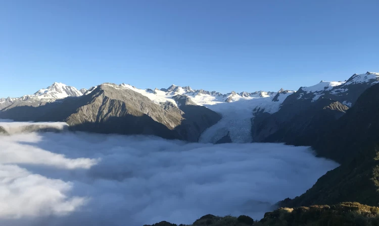
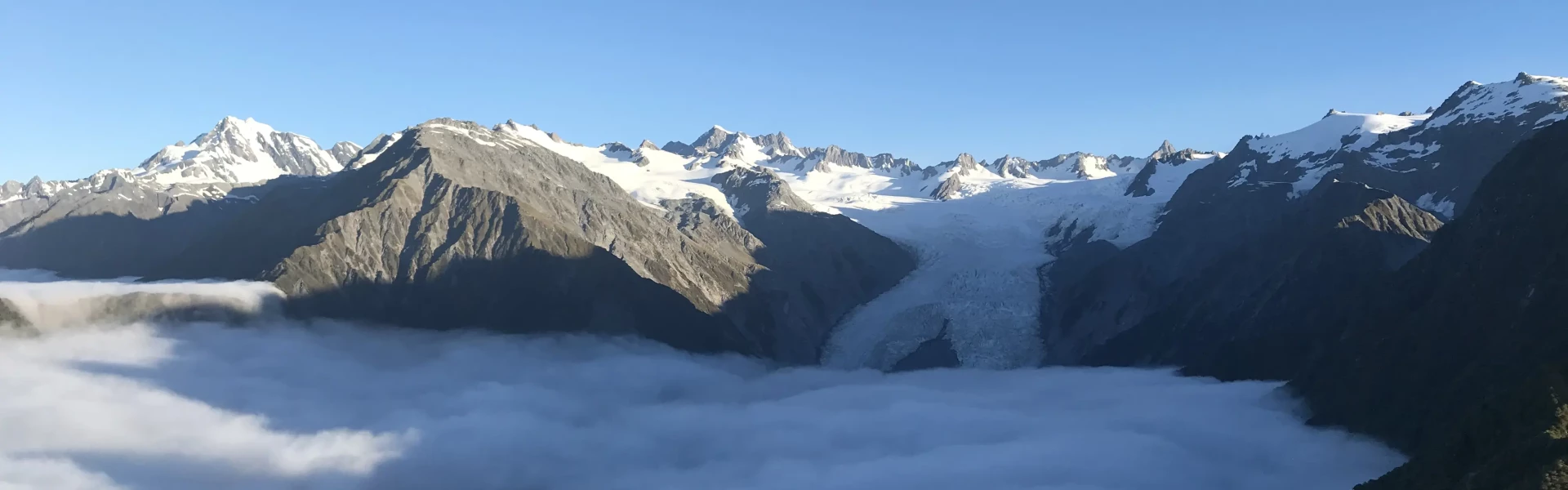
This is a challenging day hike with a reward of the best views of Franz Josef Glacier/Kā Roimata o Hine Hukatere without taking a helicopter flight. In summer, make sure you start your hike early to avoid afternoon cloud.
Distance
17.2 km
Walking time
8 hr
Difficulty
Advanced
Dogs
Not allowed
Wheelchair access
Not marked friendly
Current status
No active alerts found. Conditions can still change, so check again before leaving.
Weather outlook
Issued 11 Oct 2026, 4:35 pm
11 October 2026
Showers, retreating to the ranges in the afternoon, clearing in the evening but remaining mostly cloudy. Northerlies, dying out in the afternoon.
12 October 2026
Areas of morning and evening cloud, otherwise fine. Northwesterlies.
13 October 2026
A few showers turning to rain in the morning. Northerlies developing before dawn.
14 October 2026
Rain, with heavy falls. Light winds.
15 October 2026
Showers, clearing in the evening. Light winds.
Regional guidance only; elevation and terrain can produce different conditions.
Explore the area
Explore the track route and surrounding area before you set out.
The track shares a start with the mellow Lake Wombat track before a well signposted turnoff to your left moves you onto the much more scrambly Alex Knob track. The track zig zags upwards with two lookouts (the Christmas lookout and Rata lookout) along the way to enjoy the view from the elevation gained. You will need to use your hands to pull yourself up some of the trickier sections and previous hiking experience is highly recommended. As you move above the bush line you will be treated to panoramic views of the Franz Joseph Glacier and the Tasman Sea. The track takes 4 hours up and 4 hours down.
You will be heading up above the bush line, so take the necessary gear for an alpine trip. Snow may be present in winter/spring. Cloud is more common in the afternoon, so an early start is recommended for the best chance at a good view.
The track start is located 2km from the Franz Joseph township. You can drive or walk to the start of the track which is signposted on the right-hand side of the road. Use this location in Google Maps to find your way there.
We encourage you to continue gaining the skills and knowledge required for a safe trip. The NZ Mountain Safety Council has lots of free resources and information you can use. These can be accessed via www.mountainsafety.org.nz . We recommend trying these online learning tools: Trip Planning Tramping / field Skills Basic Navigation River Safety Additionally, check out the range of helpful videos available from the NZ Mountain Safety Council YouTube channel
No dogs.
Track information, access and weather can change. Confirm current alerts and land-manager information close to departure, tell someone your plans, and carry equipment appropriate for the route and conditions.