11 October 2026
Scattered showers, becoming confined south of Doubtful Sound in the afternoon.
Loading outdoor place details…
Fiordland National Park
Take a journey through the heart of Fiordland during the November–April Great Walks season. Hike along valleys carved by glaciers, through ancient rainforests and past cascading waterfalls.
Distance
53.5 km
Walking time
4 days
Difficulty
Intermediate, Advanced, Expert
Dogs
Not allowed
Wheelchair access
Not marked friendly
Current status
Weather outlook
Issued 10 Oct 2026, 9:23 pm
11 October 2026
Scattered showers, becoming confined south of Doubtful Sound in the afternoon.
12 October 2026
Partly cloudy, with one or two morning showers south of Secretary Island.
13 October 2026
Heavy rain developing, with snow to 2400 metres.
14 October 2026
Rain, with snow to 1900 metres, turning to showers.
15 October 2026
Showers, with snow to 800 metres, easing.
Regional guidance only; elevation and terrain can produce different conditions.
Explore the area
Explore the track route and surrounding area before you set out.
the track is well marked and signposted, but some sections are steep and rough DOC manages avalanche risk to a low level and walkers may be flown over dangerous sections the track is not recommended for children under the age of 10, due to the exposed mountainous environment and often adverse weather conditions.
it is often cold and wet, with ice, snow and short daylight hours avalanche-prone bridges across some major watercourses are removed DOC does not manage hazards such as flooding and avalanches facilities are greatly reduced Walking the track outside the Great Walks season should only be attempted by fit, experienced and well-equipped people. Many of the bridges are removed before winter to avoid damage from avalanches, so you must be competent at crossing large, swift, icy rivers. During the winter months Fiordland can be very wet and cold. Daylight is limited and the high mountains let little sunlight into the valleys. Alpine areas are usually covered in snow. Dress for these conditions. You will also require crampons, helmet and ice axe. The track over Mackinnon Pass is not marked and is often covered in deep snow. You will need to have navigation and alpine skills to traverse this section of the track. Avalanches will be frequent. The Milford Track weaves through complex avalanche terrain. Avalanches are frequent. There are over 57 avalanche paths, which may bring avalanche debris to the valley floor. Some of these have the potential to cross the Milford Track – in many cases their start zones cannot be seen from the track. If you are going into places avalanches could occur, be sure you: have checked the New Zealand Avalanche Advisory for Fiordland have talked to the Fiordland National Park Visitor Centre take an avalanche transceiver, avalanche probe and a snow shovel. Know how to use these tools. Maps of avalanche paths: Clinton Valley avalanche paths | Arthur Valley avalanche paths
After a boat cruise from Te Anau Downs (1 hour 15 minutes), take a leisurely walk through beautiful beech forest along the banks of the Clinton River to Clinton Hut, where all walkers spend the first night. Once you arrive, take some time to check out the great swimming holes near the hut, or take a short walk around the wetland boardwalk.
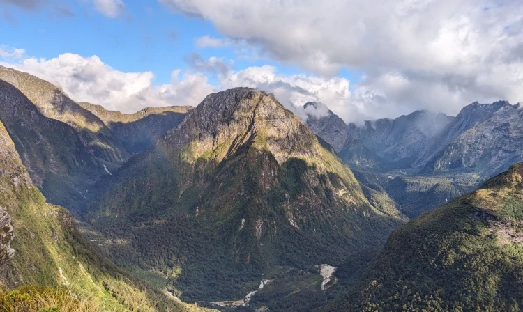
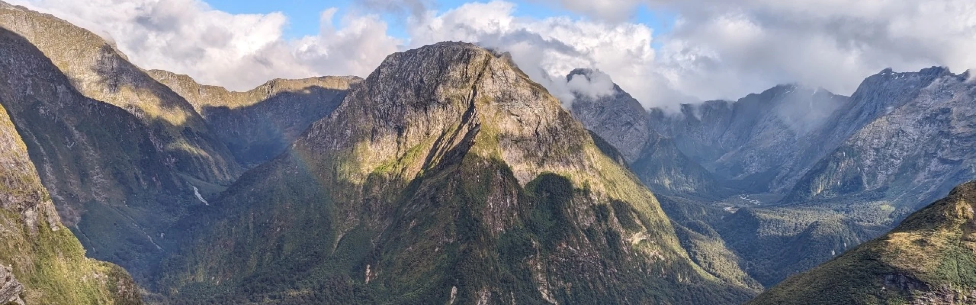
A gradual climb follows the Clinton River to its source, Lake Mintaro, at the base of the renowned Omanui / McKinnon Pass . Past Hirere Falls you will get your first view of Omanui / McKinnon Pass and the impressive Pompolona icefield. You’ll be dwarfed by the sheer scale of the rock walls towering above on either side as you walk up the Clinton Valley and will pass through changing vegetation as you climb higher towards Mintaro Hut.
Climb to Omanui / McKinnon Pass and the memorial to explorer Quintin McKinnon, with exceptional views of Lake Mintaro and the Clinton Canyon along the way. The memorial is a great place to take in the awe-inspiring panoramas, before reaching the highest point of the track and McKinnon Pass Shelter (1154 m). From here, you’ll drop steadily through an attractive alpine garden to the valley floor, passing several waterfalls along the Roaring Burn River before arriving at Quintin Shelter. On the way to Dumpling Hut take a moment to admire Sutherland Falls in the distance.
From Dumpling Hut, follow Arthur River to the historic Boatshed. Further along the track, you will reach the dramatic Mackay Falls and intriguing Bell Rock. Admire the man-made rock cuttings alongside the Arthur River and Lake Ada, before spending the last 3 km on a smooth, wide track constructed by a prison labour gang between 1890 and 1892. A short boat ride from Sandfly Point will take you to your journey’s end, with world-famous views of Milford Sound/Piopiotahi along the way.
There are 3 huts on the Milford Track, which must be booked well in advance of the Great Walks season. December/January is usually fully booked within minutes of the booking site opening, the remainder of the season is usually fully booked within weeks. Camping is not permitted on the Milford Track.
Milford Track starts on Lake Te Anau. From Te Anau, take a bus or private transport to Te Anau Downs (30 minutes), then a boat trip to Glade Wharf at the head of Lake Te Anau (1 hour 15 minutes). Use this location in Google Maps to find your way there. The track finishes at Sandfly Point on Milford Sound. Take a boat trip (20 minutes) to Milford Sound/Piopiotahi, where there are bus services back to Te Anau and on to Queenstown. Durng the Great Walks season, full transport packages are available from one of these independent operators. Contact the operator for further information. EasyHike Fiordland Outdoors Company Real Journeys Tracknet
We encourage you to continue gaining the skills and knowledge required for a safe trip. The NZ Mountain Safety Council has lots of free resources and information you can use. These can be accessed via www.mountainsafety.org.nz . We recommend trying these online learning tools: Trip Planning Tramping / field Skills Basic Navigation River Safety Additionally, check out the range of helpful videos available from the NZ Mountain Safety Council YouTube channel .
Milford (Fiordland) is the wettest part of the country and heavy rain is likely in all seasons. Alpine conditions such as strong winds, freezing temperatures and possible snow should be expected. Pay particular attention to the forecast weather conditions for the day you expect to climb over MacKinnon Pass, as this is the highest and most exposed section.
No dogs.
Track information, access and weather can change. Confirm current alerts and land-manager information close to departure, tell someone your plans, and carry equipment appropriate for the route and conditions.