10 October 2026
Fine spells. The odd shower, clearing this evening. Northerlies.
Loading outdoor place details…
Coromandel Forest Park
This track is a steep climb to Moss Creek Campsite.
Distance
9.6 km
Walking time
3 hr each way
Difficulty
Advanced
Dogs
Not allowed
Wheelchair access
Not marked friendly
Current status
Weather outlook
Issued 10 Oct 2026, 4:55 pm
10 October 2026
Fine spells. The odd shower, clearing this evening. Northerlies.
11 October 2026
Showers, possibly heavy, easing to the odd light shower by midday. Scattered rain developing late evening. Northwesterlies.
12 October 2026
Showers becoming isolated in the morning but remaining cloudy. Westerlies, turning northerly for a time in the morning and afternoon.
13 October 2026
Partly cloudy, with a few showers in the afternoon. Westerlies.
14 October 2026
A few showers clearing to fine in the afternoon. Northwesterlies.
Regional guidance only; elevation and terrain can produce different conditions.
Explore the area
Explore the track route and surrounding area before you set out.
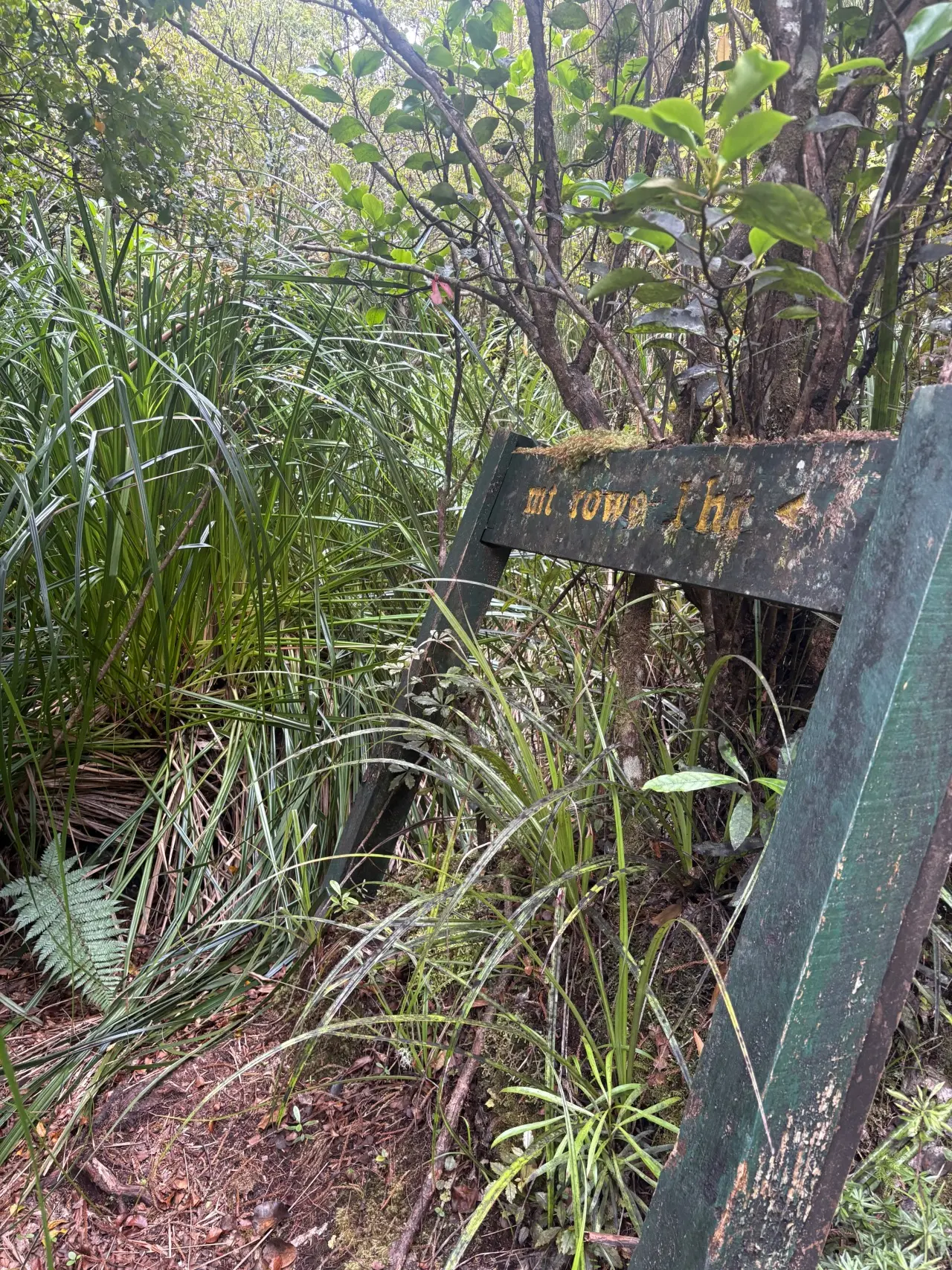
Start on Webb Creek Track, passing through the kauri dieback spray station before crossing the Kauaeranga River at Billy Goat Landing. Continue for about 1 km to the junction at Webb Creek, then turn left, following the signposted route to Moss Creek backcountry campsite. The track crosses Webb Creek and becomes noticeably rougher, climbing briefly into the forest before dropping back to the Kauaeranga River. The former wire bridge is no longer in place, so care is needed when crossing. Once on the true right, follow Moss Creek Track upriver, crossing two side streams. The second has a small waterfall spilling through a channel cut into a giant boulder. About 200 m further on, a large sign marks the intersection with the Kauaeranga Gorge route. Take the left fork, which climbs steadily up Mt Rowe’s lower slopes. After gaining around 200 m elevation, the track flattens at the 420 m contour. Look out for the striking blue werewere-kōkako mushrooms in this area. The track then winds through lush forest, crossing two streams before climbing more steeply. At a large slip, enjoy views towards The Pinnacles before following markers across the edge of the slip and climbing beyond it. Here the gradient steepens further, with several near-vertical scrambles over roots, rocks and mud. After a sharp 100 m climb, the track levels briefly before a sign points left to Mt Rowe. Continue straight where the path grows boggier and mossy. About 500 m further on, a small clearing on the left marks the former site of a tiny DOC hut, itself a nod to the 24-bunk hut lost in a 1993 fire. The track then drops to Moss Creek and its old kauri dam, which doubles as the campsite’s water supply. Cross here, climb out of the creek bed, and arrive at the campsite clearing. A short walk to the far end provides views east to Whitianga and the coast. Stay overnight or retrace your steps on the same day.
Read the reviews below If you've walked this track before, please leave a track review and photos below. Get ready to go Use the Land Safety Code to help you plan, prepare, and stay safe on your trip. Choose the right trip for you - Learn about the route and make sure you have the skills for it. Understand the weather - It can change fast. Check the forecast and change your plans if needed. Pack warm clothes and extra food - Prepare for bad weather and an unexpected night out. Share your plans and take ways to get help - Telling a trusted person your trip details and taking a distress beacon can save your life. Take care of yourself and each other - Eat, drink and rest, stick with your group and make decisions together.
No dogs.
Track information, access and weather can change. Confirm current alerts and land-manager information close to departure, tell someone your plans, and carry equipment appropriate for the route and conditions.