11 October 2026
Fine, but the chance of an afternoon shower. Northeasterlies dying out in the afternoon.
Loading outdoor place details…
Port Hills
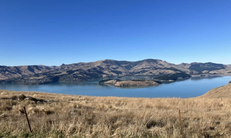
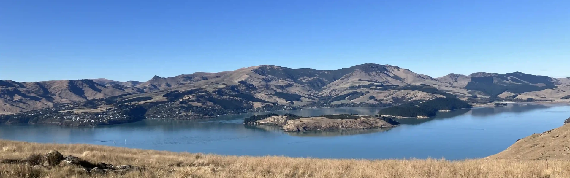
This is one of the most popular tracks on the Port Hills for walkers, runners and mountain-bikers. It offers fantastic views from the top over Lyttelton Harbour.
Distance
9.3 km
Walking time
3 hours return
Difficulty
Easy
Dogs
On-lead only
Wheelchair access
Not marked friendly
Current status
No active alerts found. Conditions can still change, so check again before leaving.
Weather outlook
Issued 11 Oct 2026, 4:35 pm
11 October 2026
Fine, but the chance of an afternoon shower. Northeasterlies dying out in the afternoon.
12 October 2026
Fine, but some morning low cloud or fog. Light winds, then northeasterlies developing in the afternoon.
13 October 2026
Fine, then a few showers at night. Northwesterlies, turning northeasterly in the evening.
14 October 2026
Showers developing in the morning. Northeasterlies, dying out in the evening.
15 October 2026
Showers developing in the morning, with snow to 800 metres. Southwesterlies developing in the morning.
Regional guidance only; elevation and terrain can produce different conditions.
Explore the area
Explore the track route and surrounding area before you set out.
Start at the junction of Rapaki Road and Centaurus Road. Walk up Rapaki Road until you reach the signage for Rapaki Track. The track gradually climbs, offering pleasant views into the valley below. In the mid-section, it flattens, then climbs again at a good gradient to the Rapaki Track car park on Summit Road. At this point, the car park marks the end of vehicle access along Summit Road and is a popular spot to rest and take in the views of Lyttelton Harbour and the volcanic peaks and ridges of Banks Peninsula. Alternatively, a 10-minute walk up to the summit of Mt Vernon is well worthwhile. From here you can return the same way or create a longer loop walk by returning via Huntsbury Track. You may also like to tackle a section of the Crater Rim Walkway in either direction from this point.
The information about this track is provided by the Christchurch City Council . For updates on track closures, damage or maintenance, check the walking track status page before heading out.
Parking is available in the wider area. In busy times try parking at Hansen Park or Fifield Terrace and warm up with a stroll along the Heathcote River before tackling this track. Use this location in google maps to find your way to the start of Rapaki Track.
We encourage you to continue gaining the skills and knowledge required for a safe trip. The NZ Mountain Safety Council has lots of free resources and information you can use. These can be accessed via www.mountainsafety.org.nz . We recommend trying these online learning tools: Trip Planning Tramping / field Skills Basic Navigation River Safety Additionally, check out the range of helpful videos available from the NZ Mountain Safety Council YouTube channel
On Leash
Track information, access and weather can change. Confirm current alerts and land-manager information close to departure, tell someone your plans, and carry equipment appropriate for the route and conditions.