11 October 2026
Showers about the Divide, clearing early evening, otherwise fine.
Loading outdoor place details…
Wanaka area
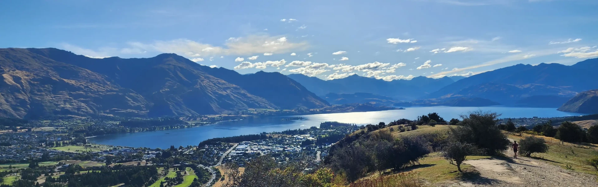
This very popular loop walk offers excellent 360-degree views from the summit.
Distance
4.5 km
Walking time
1 hr 30 min
Difficulty
Easy
Dogs
On-lead only
Wheelchair access
Not marked friendly
Current status
No active alerts found. Conditions can still change, so check again before leaving.
Weather outlook
Issued 10 Oct 2026, 9:23 pm
11 October 2026
Showers about the Divide, clearing early evening, otherwise fine.
12 October 2026
Fine.
13 October 2026
Rain developing.
14 October 2026
Heavy rain easing to showers. Snow lowering to 1900 metres.
15 October 2026
Showers developing. Snow lowering to 1100 metres.
Regional guidance only; elevation and terrain can produce different conditions.
Explore the area
Explore the track route and surrounding area before you set out.
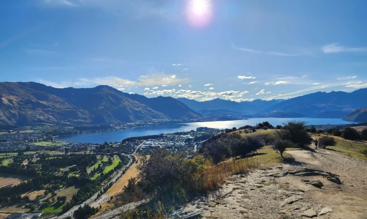
The Mount Iron Track is an iconic Wanaka walk. The track is well maintained, but steep and rocky in places. It is designed to be walked as a 4.5km loop with a central car park located on the Wanaka-Luggate Highway. The track ambles up through low k ā nuka shrubs with some switch backs on the steeper sections. The low shrubs provide plenty of opportunities to stop and enjoy the view on your way up, but they are no good for shade – so water on a hot day is recommended. Once at the top you will be treated to panoramic views of W ā naka and beyond with Tititea/Mount Aspiring National Park peaks in the background. The track passes over some private land and it is important to stick to the marked trail. Bikes are not permitted.
There are toilet facilities, including a water fountain, located just off the track about 2 minutes from the carpark. - Mountain bikers are not permitted on this track. - Dogs are permitted but must be on a leash at all times.
The Mount Iron trail starts and finishes at the main Mount Iron carpark located just off the Wanaka-Luggate Highway. From W ā naka township you can walk to the trail head in about 15 minutes . Use this location in Google Maps to find your way there.
We encourage you to continue gaining the skills and knowledge required for a safe trip. The NZ Mountain Safety Council has lots of free resources and information you can use. These can be accessed via www.mountainsafety.org.nz . We recommend trying these online learning tools: Trip Planning Tramping / field Skills Basic Navigation River Safety Additionally, check out the range of helpful videos available from the NZ Mountain Safety Council YouTube channel .
Dogs on a leash only.
Track information, access and weather can change. Confirm current alerts and land-manager information close to departure, tell someone your plans, and carry equipment appropriate for the route and conditions.