11 October 2026
Showers about the Divide, clearing early evening, otherwise fine.
Loading outdoor place details…
Wanaka area
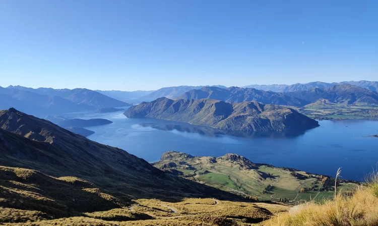
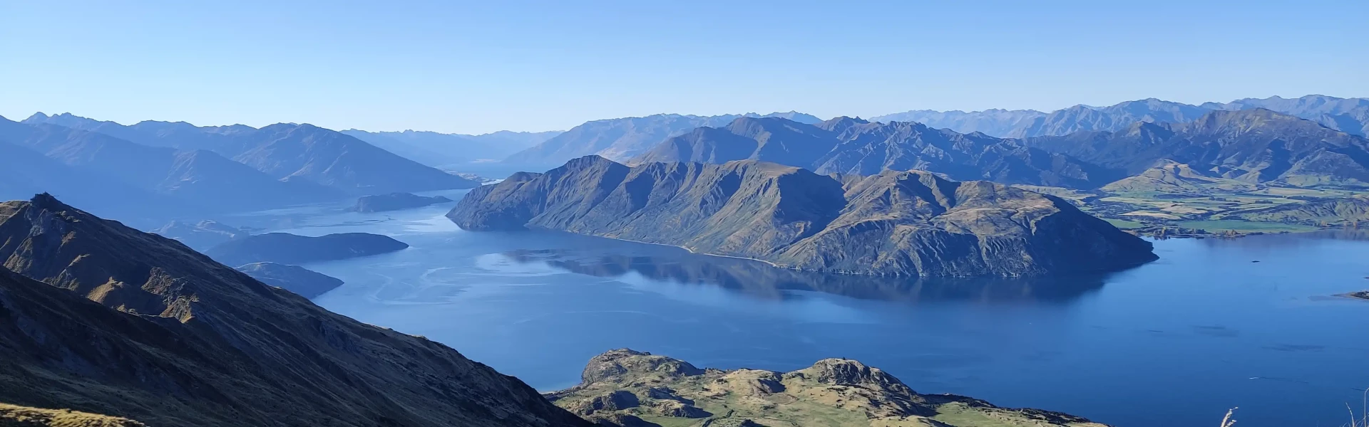
Roys Peak Track is a challenging full-day hike near Wānaka in Central Otago. It is one of New Zealand's most popular day hikes because of its panoramic views over Lake Wānaka.
Distance
16 km
Walking time
5-6 hr return
Difficulty
Easy
Dogs
Not allowed
Wheelchair access
Not marked friendly
Current status
Weather outlook
Issued 11 Oct 2026, 7:33 am
11 October 2026
Showers about the Divide, clearing early evening, otherwise fine.
12 October 2026
Fine.
13 October 2026
Rain developing.
14 October 2026
Heavy rain easing.
15 October 2026
A few showers.
Regional guidance only; elevation and terrain can produce different conditions.
Explore the area
Explore the track route and surrounding area before you set out.
While a very popular walk built to DOC's 'Easy' track standard, this track is steep, and the gravel can be slippery on the way down. Good hiking shoes or boots will help you avoid slipping. Poles can also be beneficial. Mobile phone reception is possible for most of the track. This higher sections of the track (above 1000m elevation) should be avoided between June and October, when snow and ice is likely, unless you have appropriate avalanche training to determine if it is safe. Additionally, you will need to carry and be able to use alpine equipment such as ice axe and crampons, avalanche transceiver, probe and shovel. This track crosses private land. Respect the landowner's livestock and property. Stay on the marked track, leave gates as you find them and use stiles where provided. Note : The track is closed for lambing from 1 October - 10 November each year.
The track starts and ends at the carpark on Mount Aspiring Road, 7km northwest of Wanaka. Use this location in Google Maps to find your way there.
We encourage you to continue gaining the skills and knowledge required for a safe trip. The NZ Mountain Safety Council has lots of free resources and information you can use. These can be accessed via www.mountainsafety.org.nz . We recommend trying these online learning tools: Trip Planning Tramping / field Skills Basic Navigation River Safety Additionally, check out the range of helpful videos available from the NZ Mountain Safety Council YouTube channel
The weather changes rapidly in this region. Hypothermia is a real risk even in summer. Strong winds and cold temperatures are far more likely near the summit than in the carpark. Be wary of southerly wind changes which can bring rapidly deteriorating conditions. In the warmer months, heat, sun exposure and dehydration are challenges that must be planned for.
No dogs.
Track information, access and weather can change. Confirm current alerts and land-manager information close to departure, tell someone your plans, and carry equipment appropriate for the route and conditions.