10 October 2026
Mostly cloudy. A few showers about the Sounds and inland ranges, possibly heavy from afternoon. Northeasterlies, strong at times about the Kaikoura Coast from afternoon.
Loading outdoor place details…
Blenheim area
Mountain bike or walk through mature and regenerating forest, with the option to visit the Mt Robertson/Tokomaru summit.
Distance
11.4 km
Walking time
8-12 hrs return
Difficulty
Advanced
Dogs
Not allowed
Wheelchair access
Not marked friendly
Current status
Weather outlook
Issued 10 Oct 2026, 4:55 pm
10 October 2026
Mostly cloudy. A few showers about the Sounds and inland ranges, possibly heavy from afternoon. Northeasterlies, strong at times about the Kaikoura Coast from afternoon.
11 October 2026
Cloudy with showers, mainly about the Sounds and inland ranges, clearing and becoming mainly fine late afternoon. Northwesterlies but northeasterlies about Kaikoura Coast, strong at times, easing everywhere in the evening.
12 October 2026
Fine. Northerlies developing in the morning.
13 October 2026
Mostly cloudy with isolated showers, clearing to fine in the afternoon. Northwesterlies developing in the morning.
14 October 2026
Mostly cloudy with isolated showers, turning to rain in the afternoon. Northwesterlies, dying out in the evening.
Regional guidance only; elevation and terrain can produce different conditions.
Explore the area
Explore the track route and surrounding area before you set out.
Time: 8–9 hr Distance: 11.4 km when using Port Underwood Road to return to the start This is a shared use track that is narrow and technical in places. You can start from either of the two access points on Port Underwood Road. From either starting point, the track climbs a spur before swinging onto the first summit (about 700 m), where the two tracks meet. You can complete this as a return walk from either start point or as a loop - ascending one track and descending the other. If completing the loop, be aware that it includes a 4–5 km section on Port Underwood Road, where visibility is limited, and traffic can be fast-moving. You can also link the tracks using the Rarangi-Whites Bay Track and the Black Jack Track to avoid most of the road walking, but allow for the extra time these tracks will require.
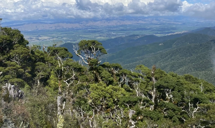
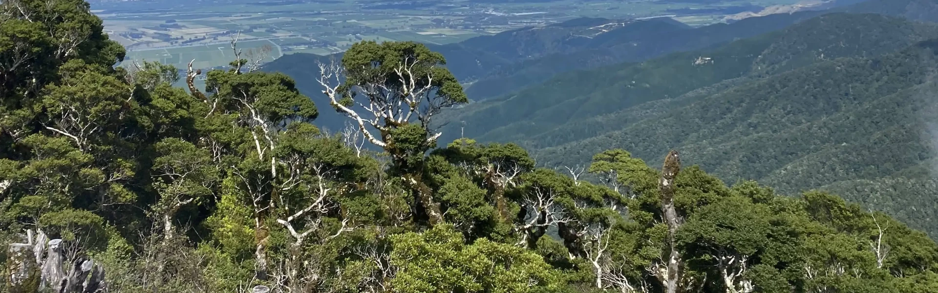
Time: 4 hr return from Mt Robertson Loop Track junction Distance: 5.8 km return The Mount Robertson Summit Route branches off from the Mount Robertson Loop Track. It follows a ridgeline northwest before climbing another 300 m along a well-defined ridge through beech forest to the mast at the summit, taking about two hours to reach the top. There is no water supply on this track, so be sure to bring enough with you. At 1,036 m above sea level, Mount Robertson (Tokomaru) is the highest point in the scenic reserve that bears its name, offering expansive views over the surrounding landscape.
Mount Robertson Loop Track Grade: 3/Intermediate, 4/Advanced This is a shared use track that is narrow and technical in places. Most mountain bikers do the loop in an anti-clockwise direction. Mount Robertson Summit Route Grade: 3/Intermediate, 4/Advanced Visit the Marlborough Mountain Bike Club website for further details.
These are shared-use tracks. Follow the mountain bikers code: respect others, respect the rules, respect the track. Hot, dry conditions and strong, cold winds are common in this area. Open fires are not permitted at any of the East Coast reserves and only portable stoves should be used for cooking. Watch out for wasps, especially in late summer and autumn. Most mountain bikers do the loop in an anti-clockwise direction.
The Mount Robertson Loop Track is well signposted from two access points on the Port Underwood Road, 22 minutes from Blenheim. Use these links on Google Maps to help get to the northern entry/exit , or the southern entry/exit .
We encourage you to continue gaining the skills and knowledge required for a safe trip. The NZ Mountain Safety Council has lots of free resources and information you can use. These can be accessed via www.mountainsafety.org.nz . We recommend trying these online learning tools: Trip Planning Tramping / field Skills Basic Navigation River Safety Additionally, check out the range of helpful videos available from the NZ Mountain Safety Council YouTube channel
No dogs.
Track information, access and weather can change. Confirm current alerts and land-manager information close to departure, tell someone your plans, and carry equipment appropriate for the route and conditions.