10 October 2026
Mostly cloudy with showers, mainly about the ranges where some may be heavy. Northeasterlies, becoming strong in exposed places this afternoon.
Loading outdoor place details…
Lake Kaniere Scenic Reserve
This is a steep tramp to the open tussock peak of Mt. Tuhua (1125 m) and is suitable for fit people only.
Distance
7.6 km
Walking time
7 hr
Difficulty
Advanced
Dogs
Allowed — check local rules
Wheelchair access
Not marked friendly
Current status
No active alerts found. Conditions can still change, so check again before leaving.
Weather outlook
Issued 10 Oct 2026, 4:55 pm
10 October 2026
Mostly cloudy with showers, mainly about the ranges where some may be heavy. Northeasterlies, becoming strong in exposed places this afternoon.
11 October 2026
Showers, possibly heavy, retreating to the ranges in the afternoon, clearing in the evening. Northeasterlies, dying out in the afternoon.
12 October 2026
Fine. Northerlies developing for a time in the afternoon.
13 October 2026
Rain becoming persistent in the morning. Light winds.
14 October 2026
Rain with heavy falls easing to a few showers in the afternoon. Light winds.
Regional guidance only; elevation and terrain can produce different conditions.
Explore the area
Explore the track route and surrounding area before you set out.
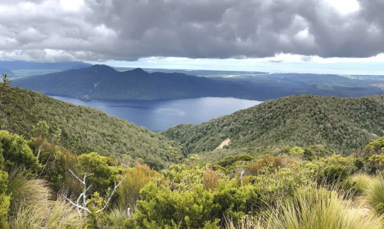
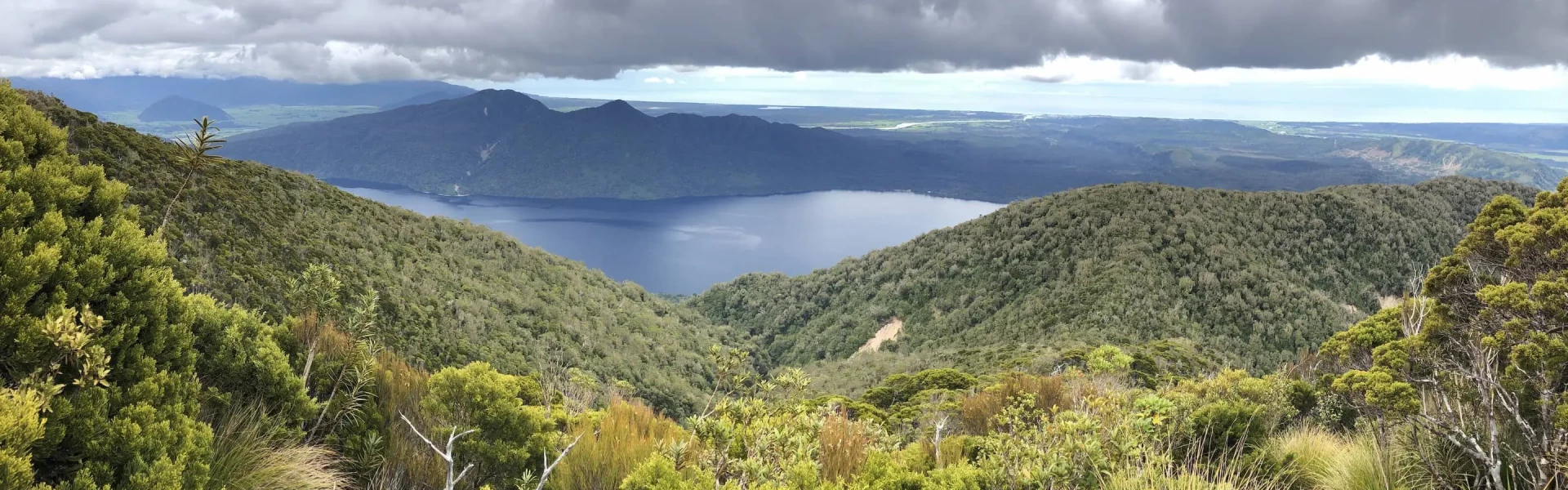
The track entrance is signposted, and orange triangles mark the way for the entirety of the climb up to the trig marker at 1,125 m. Start by walking uphill for some time across and over an old rocky slip. The track then goes deep into the forest climbing steeply and relentlessly over the forest floor, which could be very slippery after rainfall. There are a couple of small viewpoints along the way before the track narrows and leaves the forest into open tussockland. This section of the track is a mix of dirt and loose rock that gives way underfoot. Upon arrival at the summit, take some time to enjoy the magnificent views of the Southern Alps, Lake Kaniere, Hokitika and the coastal plains. Return via the same track.
For fit trampers only Do not underestimate the downhill. The steep angles make the descent a challenge of its own. Proper footwear, plenty of food and water, are recommended as well as extra layers of clothing due to high altitude and wind at the top. Check the forecast before attempting this climb. No dogs are allowed
From Lake Kaniere, head south on Hans Bay Rd. Continue onto Dorothy Falls Rd until you reach the signpost for Mt Tuhua Track. Use this location in Google Maps to find your way there.
We encourage you to continue gaining the skills and knowledge required for a safe trip. The NZ Mountain Safety Council has lots of free resources and information you can use. These can be accessed via www.mountainsafety.org.nz . We recommend trying these online learning tools: Trip Planning Tramping / field Skills Basic Navigation River Safety Additionally, check out the range of helpful videos available from the NZ Mountain Safety Council YouTube channel .
Dogs with a DOC permit only. Contact closest DOC office to get a permit.
Track information, access and weather can change. Confirm current alerts and land-manager information close to departure, tell someone your plans, and carry equipment appropriate for the route and conditions.