10 October 2026
Mostly cloudy. Showers developing this afternoon, possibly heavy about the ranges. Northeasterlies, becoming strong in exposed places this afternoon.
Loading outdoor place details…
Greymouth - Hokitika
The track leads from Geologist Creek across the foot of the hill, climbing gently through hardwood forest to a small creek. After this walkers climb steeply up the bush faces onto the southwest spur of Mt Brown.
Distance
3.9 km
Walking time
4 hrs one way
Difficulty
Advanced
Dogs
Not allowed
Wheelchair access
Not marked friendly
Current status
No active alerts found. Conditions can still change, so check again before leaving.
Weather outlook
Issued 10 Oct 2026, 10:55 am
10 October 2026
Mostly cloudy. Showers developing this afternoon, possibly heavy about the ranges. Northeasterlies, becoming strong in exposed places this afternoon.
11 October 2026
Occasional rain clearing in the afternoon, then partly cloudy. Northeasterlies, dying out in the afternoon.
12 October 2026
Fine. Northerlies developing for a time in the afternoon.
13 October 2026
Rain becoming persistent in the morning. Light winds.
14 October 2026
Rain with heavy falls easing to a few showers in the afternoon. Light winds.
Regional guidance only; elevation and terrain can produce different conditions.
Explore the area
Explore the track route and surrounding area before you set out.
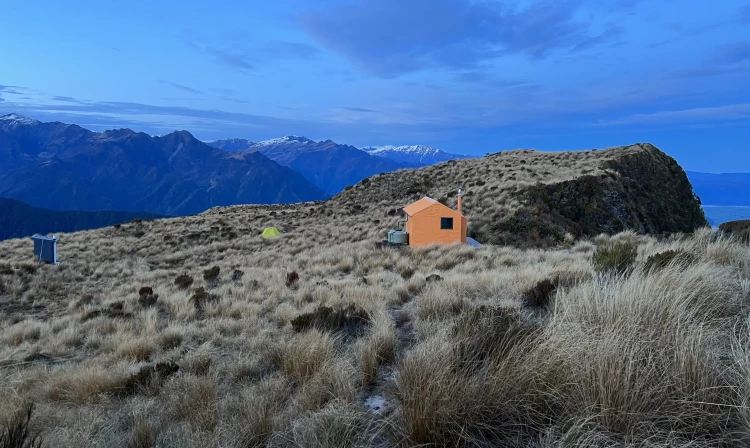
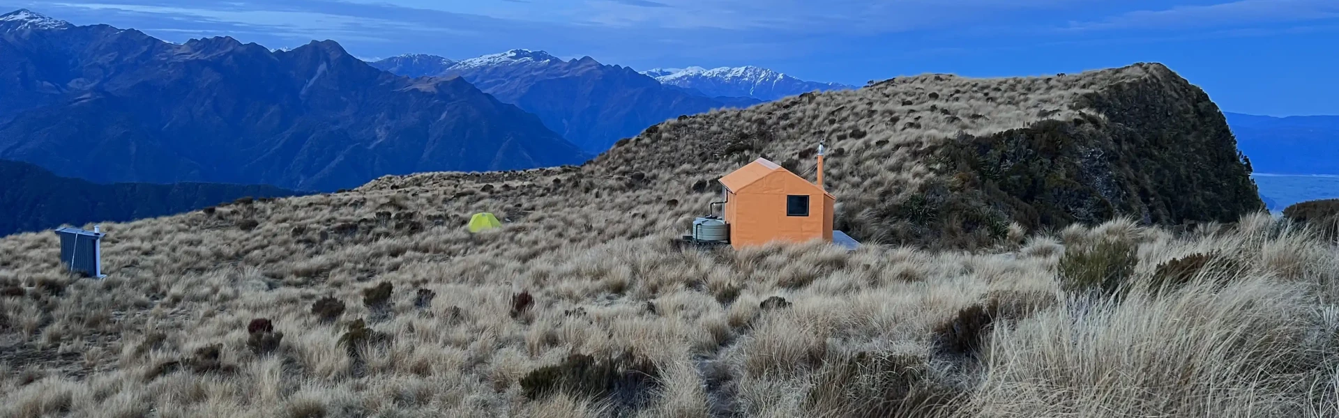
The track starts at a washed-out parking area on the south side of the Geologist Creek Bridge. It is generally well-marked but is getting very boggy in places through high use, particularly the sub-alpine section. In April 2019, some diversion channels were installed above the bushline to stop water from running down and eroding the trail. Work was also done on some of the boggy areas of the track on a flat section of the ridge around 900m altitude. Some clearance of flax, toetoe and seedling regrowth was done in conjunction with this. The track leads from Geologist Creek across the foot of the hill, climbing gently through hardwood forest to a small creek. There are a few windfalls on the lower section. This is crossed, and its true left followed up for a bit, then the trail veers south and climbs steeply up the bush faces onto the southwest spur of Mt Brown. The spur levels for a bit in the sub-alpine zone and then ascends in a series of steps through the scrub to the tussock. There is a small tarn on the Styx side of the ridge just before the tussock is reached. There are a few patches of onga onga (bush nettle) in the midsection that are starting to encroach on the trail. The route is poled from the scrubline to the hut. There is one section in the tussock zone without any wooden channels where some track scouring occurs. Allow 3-4 hours from the start of the track to the hut, depending on fitness. Mt Brown Hut is a community initiative that was undertaken by Eddie Newman and Julia Bradshaw. The Hut began its life as Lower Arahura Hut in the valley of the same name and spent its first 50 years there. It was a standard NZFS 4-bunk S81 design, built in 1962. When the Department of Conservation decided to build a new hut at the site in 2010, Eddie and Julia convinced it to fly the dismantled sections of the old hut out to be reassembled on Mt Brown. The project became a total rebuild due to building code and safety requirements. Considerable community input, volunteer labour and donations made it possible for the project to reach fruition. The Permolat Group contributed financially and with volunteer input, and the hut was opened for public use in November 2010. It was an instant success, debuting in Wilderness Magazine , outdoor calendars, Department of Conservation posters, and the cover of Shelter From The Storm , a book on high-country huts by Rob Brown, Geoff Spearpoint and Shaun Barnett. The hut is now profiled on local tourist brochures and i-Sites, and the majority of visitors are now foreign tourists or travellers. In 2017 Eddie and Julia emigrated to Christchurch and delegated oversight of the Hut to the Permolat Group. Hugh van Noorden from the Permolat Trust has kindly taken on the lead role for the project.
Using Mt Brown Hut Mt Brown Hut has no fixed fee system and is reliant on a koha for its upkeep. Koha means a contribution, not just donate-if-you-feel-like-it. The hut has a small firebox and because there is no good wood supply at 1100m, coal needs to be flown in. Supplies tend to get used up very quickly and when it runs out it is not uncommon for less conscientious types to start hacking into the living alpine scrub around the hut. Contributions also go towards hut maintenance and upkeep of the access tracks. Sadly, the majority of visitors are not donating. This hut is not DOC funded so don't be a freeloader. Donations are payable to Permolat Trust, Kiwibank, 38-9016-0266330-00. Its Charities Registration No. is CC50626. Please specify that the donation is for Mt Brown so the trust can earmark it for that purpose.
The track starts at a washed-out parking area on the south side of the Geologist Creek Bridge.
Mt Brown Hut This track is part of the Herenga ā Nuku Aotearoa track database. Herenga ā Nuku has maps and advice about public access to the outdoors . We encourage you to continue gaining the skills and knowledge required for a safe trip. The NZ Mountain Safety Council has lots of free resources and information you can use. You can access them at www.mountainsafety.org.nz . We recommend trying these online learning tools: Trip Planning Tramping/field Skills Basic Navigation River Safety Additionally, check out the range of helpful videos available from the NZ Mountain Safety Council YouTube channel .
Track information, access and weather can change. Confirm current alerts and land-manager information close to departure, tell someone your plans, and carry equipment appropriate for the route and conditions.