08 October 2026
Mostly cloudy with patchy drizzle, clearing in the morning to fine breaks. Light winds.
Loading outdoor place details…
Bannockburn area
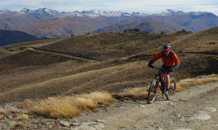
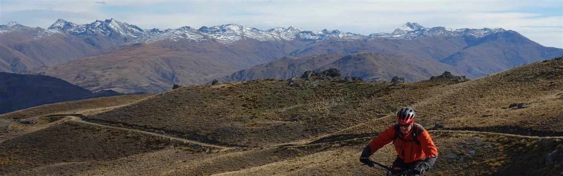
Enjoy fantastic views of Gibbston Valley and Cromwell basin along the way, and out to the Doolan mountains from the top.
Distance
30 km
Walking time
1 day
Difficulty
Advanced
Dogs
Not allowed
Wheelchair access
Not marked friendly
Current status
Weather outlook
Issued 8 Oct 2026, 11:31 am
08 October 2026
Mostly cloudy with patchy drizzle, clearing in the morning to fine breaks. Light winds.
09 October 2026
Fine. Light winds, then northerlies developing at night.
10 October 2026
Mainly fine, isolated showers developing in the afternoon. Northerlies developing in the morning.
11 October 2026
Fine. Light winds.
12 October 2026
Fine. Light winds.
Regional guidance only; elevation and terrain can produce different conditions.
Explore the area
Explore the track route and surrounding area before you set out.
The Mt Difficulty Track branches off the Slapjack Saddle Track . It's a steep track that follows a mostly rough grassy 4WD track. Good route finding and map reading is required. Start points: You can start the track either at Felton road, parking before the gate. For about 1 kilometer after crossing the gate you will be walking along Mora Vineyards. After that you will get to another gate with a sign indicating you need to call a number to request access. A few hundred meters after crossing the gate we will see a signpost from DOC with information for the tracks. The other option is to start from Bannockburn Sluicings , and turning right at the Long Gully Loop Track which meets with the Mt Difficulty Track. Note that the Long Gully Track is closed for lambing 1 October to 30 November each year. Follow the Mount Difficulty Track as it loops around, rejoining the same track to return you down to Slapjack Saddle Track.
This is a very dry area with no water on the tracks - take water with you. There are no designated campsites or huts in this area - do not camp on private land.
Use this location on Google Maps to help you find your way to Felton Road, Bannockburn.
We encourage you to continue gaining the skills and knowledge required for a safe trip. The NZ Mountain Safety Council has lots of free resources and information you can use. These can be accessed via www.mountainsafety.org.nz . Level up in your outdoor knowledge with these interactive online learning tools: Trip Planning Tramping / field Skills Basic Navigation River Safety Additionally, check out the range of helpful videos available from the NZ Mountain Safety Council YouTube channel .
No dogs.
Track information, access and weather can change. Confirm current alerts and land-manager information close to departure, tell someone your plans, and carry equipment appropriate for the route and conditions.