11 October 2026
Showers about the Divide, clearing in the evening, otherwise fine.
Loading outdoor place details…
Hunters Hills area
Walk to a cascading waterfall and enjoy gorgeous views out to the coast.
Distance
3 km
Walking time
2 - 3 hrs
Difficulty
Advanced
Dogs
Not allowed
Wheelchair access
Not marked friendly
Current status
No active alerts found. Conditions can still change, so check again before leaving.
Weather outlook
Issued 10 Oct 2026, 9:23 pm
11 October 2026
Showers about the Divide, clearing in the evening, otherwise fine.
12 October 2026
Fine.
13 October 2026
Partly cloudy with isolated showers.
14 October 2026
Rain, with heavy falls.
15 October 2026
Rain developing, with snow to 600 metres.
Regional guidance only; elevation and terrain can produce different conditions.
Explore the area
Explore the track route and surrounding area before you set out.
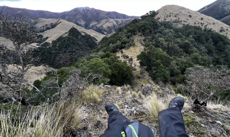
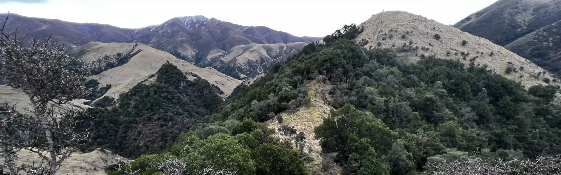
This track offers stunning views and features a waterfall that plunges through a rock arch. From the campground, cross the bridge over Nimrod Stream to begin the loop track, which takes you on an anti-clockwise circuit of the reserve. The trail starts with a steep climb out of the forest to a lookout point, offering great views out to the coast. The track then descends sharply to Nimrod Stream, which you’ll need to ford. A short detour upstream (be cautious of slippery rocks) leads to a beautiful 15-meter waterfall cascading through a small rock arch. From here, the track climbs again to rocky knolls, providing excellent views across the reserve towards the coast. The trail then descends back through the forest to the car park.
The track is very steep in places. The markers in some parts are very sparse and the track undefined.
Mt Nimrod Campsite
Mt Nimrod Scenic Reserve is on the eastern side of The Hunters Hills, 32 km southwest of Timaru and 43 km northwest of Waimate. From Timaru follow State Highway 1 south for approximately 10 km. Turn right onto Pareora River Road and follow for 16 km past the Pareora Hut settlement onto Pareora Gorge Road. After 5 km turn left onto Limestone Road, then onto Motukaika Road. Follow for 11 km then turn right at the T-junction onto Back Line Road. After 2 km, turn left into the Scenic Reserve. Use this location on Google Maps to help find your way there.
We encourage you to continue gaining the skills and knowledge required for a safe trip. The NZ Mountain Safety Council has lots of free resources and information you can use. These can be accessed via www.mountainsafety.org.nz . We recommend trying these online learning tools: Trip Planning Tramping / field Skills Basic Navigation River Safety Additionally, check out the range of helpful videos available from the NZ Mountain Safety Council YouTube channel
No dogs.
Track information, access and weather can change. Confirm current alerts and land-manager information close to departure, tell someone your plans, and carry equipment appropriate for the route and conditions.