11 October 2026
Showers about the Divide, clearing in the evening, otherwise fine.
Loading outdoor place details…
Hakatere Conservation Park
Walk to the top of Mount Sunday for expansive views of the surrounding countryside.
Distance
1.5 km
Walking time
30 min one way
Difficulty
Easy
Dogs
Not allowed
Wheelchair access
Not marked friendly
Current status
No active alerts found. Conditions can still change, so check again before leaving.
Weather outlook
Issued 11 Oct 2026, 7:33 am
11 October 2026
Showers about the Divide, clearing in the evening, otherwise fine.
12 October 2026
Fine.
13 October 2026
Isolated showers, becoming widespread in the evening.
14 October 2026
Heavy rain easing.
15 October 2026
A period of rain with snow to 700 metres, otherwise isolated showers.
Regional guidance only; elevation and terrain can produce different conditions.
Explore the area
Explore the track route and surrounding area before you set out.
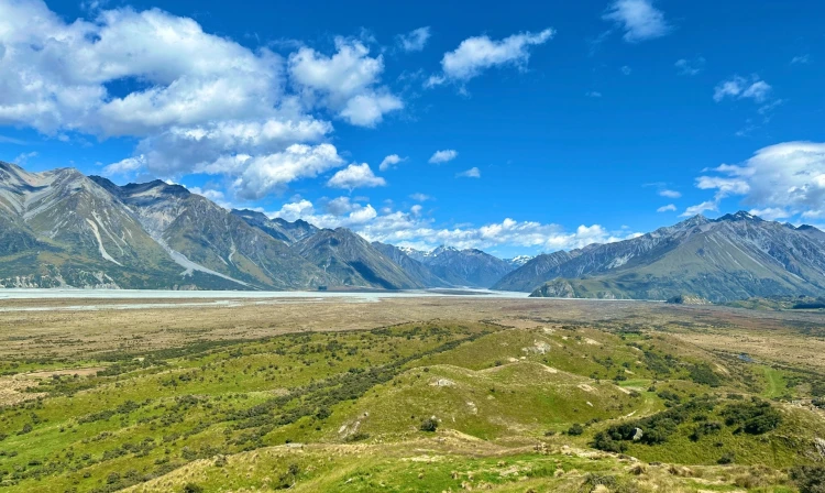
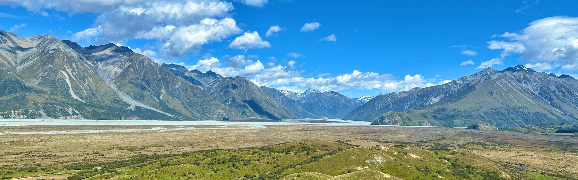
The first kilometre of the walk is across the tussock and scrub river flats. There is a low suspension bridge across the fast-flowing stream that feeds into the Rangitata River, 6km from bank to bank where it merges with Potts River. Moving quietly past a few grazing cattle under the eastern cliffs of Mt Sunday, the trail climbs the ridge to a trig point and photo opportunity. Some imagination is required to recall the great hall of Edoras but the views upstream to the Cloudy Peak Range and across the river to the hills Mesopotamia Station are worth the climb. The walk up Mt Sunday takes 30 minutes one way, return the way you came.
High country tracks can get very cold and windy, so dress appropriately No dogs allowed Carry your own water
Accessed from a short diversion off Potts River Road 5 km past the Potts River Bridge above Lake Clearwater. Use this location in Google Maps to find your way there.
We encourage you to continue gaining the skills and knowledge required for a safe trip. The NZ Mountain Safety Council has lots of free resources and information you can use. These can be accessed via www.mountainsafety.org.nz . We recommend trying these online learning tools: Trip Planning Tramping / field Skills Basic Navigation River Safety Additionally, check out the range of helpful videos available from the NZ Mountain Safety Council YouTube channel .
No dogs.
Track information, access and weather can change. Confirm current alerts and land-manager information close to departure, tell someone your plans, and carry equipment appropriate for the route and conditions.