10 October 2026
Fine spells with isolated showers developing in the afternoon. Easterlies dying out in the evening.
Loading outdoor place details…
Ruahine Forest Park
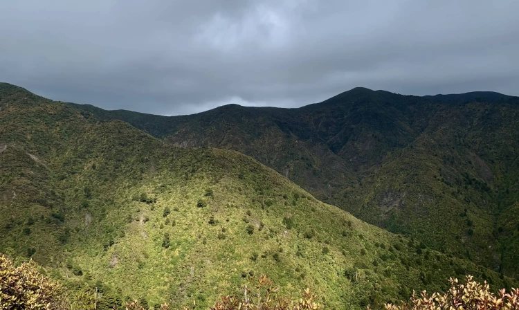
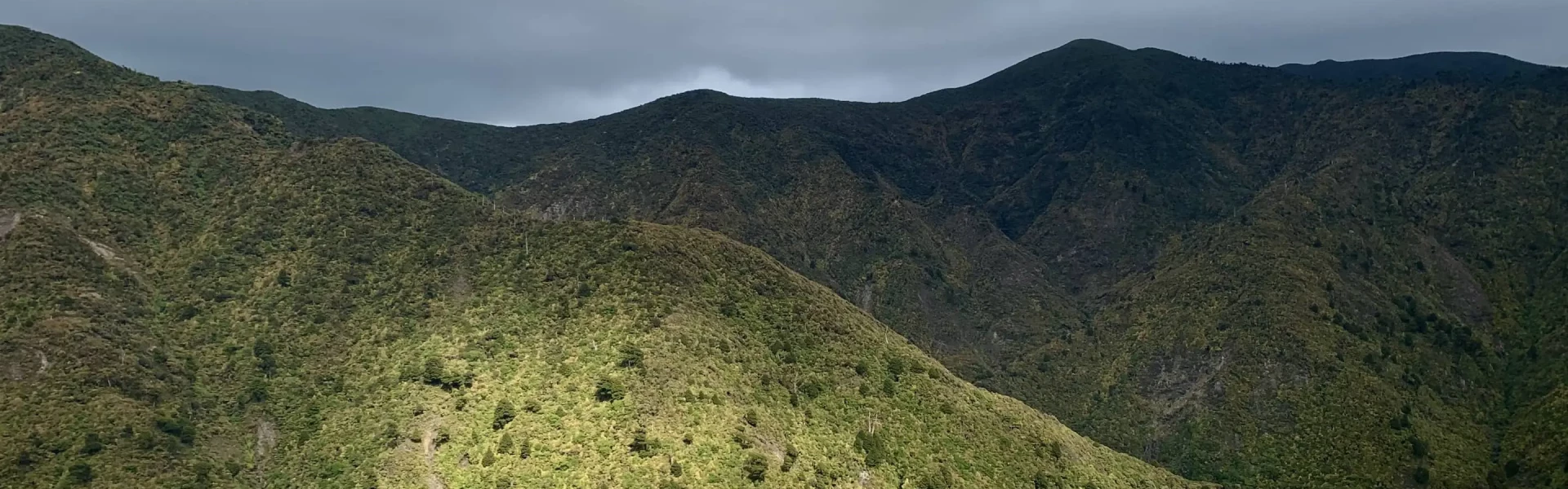
Enjoy the views of the Pohangina Valley from the end of No.1 Line or shorter Trig Loop Track.
Distance
4.3 km
Walking time
2 - 3 hr return
Difficulty
Advanced
Dogs
Allowed — check local rules
Wheelchair access
Not marked friendly
Current status
No active alerts found. Conditions can still change, so check again before leaving.
Weather outlook
Issued 10 Oct 2026, 4:55 pm
10 October 2026
Fine spells with isolated showers developing in the afternoon. Easterlies dying out in the evening.
11 October 2026
Showers, possibly heavy, clearing to fine spells in the afternoon. Clouding over in the evening with drizzle on the ranges. Light winds, then afternoon westerlies.
12 October 2026
Showers becoming isolated with longer fine breaks in the morning. Westerlies developing for a time in the morning and afternoon.
13 October 2026
Showers developing in the morning. Northwesterlies.
14 October 2026
A few showers. Northwesterlies.
Regional guidance only; elevation and terrain can produce different conditions.
Explore the area
Explore the track route and surrounding area before you set out.
4.3km, 2-3 hour return Aptly nicknamed “Get Fit Quick Ridge’, No. 1 Line Viewpoint Track is a steep track that gives stunning views of the wider Manawatū and the Ruahine Ranges. Although there are a few dispersed flat sections, this track requires a relative level of fitness. It takes a total of 2-3 hours return covering 4.3km through rimu, rata and other flora along a ridge. Starting at the end of the car park, follow the signage towards the No.1 Line Track. You quickly begin to ascend, which continues for the majority of the track. You will then reach a seat at the end of the track. This is not a loop track and you will descend the way you came. There is a short loop track option called the Trig Loop Track that is only 30 minutes and crosses farm land and more large native trees.
No 1 Line uses orange triangle markers to mark the route. The track can be quite steep and good shoes are necessary especially after rain as some sections can become muddy or slippery. Dogs are only allowed if they have a DOC permit for management purposes or recreational hunting only. Part of this track is on private property, including the carpark. Ensure you stick to the marked route and leave gates how you find them. There are no bathroom or water amenities.
Go through Ashurst towards Pohangina, turning right onto Pohangina Valley East Road. Then follow this road until you reach the No. 1 line road to your right and follow to the end. Use this location in Google Maps to find your way there.
We encourage you to continue gaining the skills and knowledge required for a safe trip. The NZ Mountain Safety Council has lots of free resources and information you can use. These can be accessed via www.mountainsafety.org.nz . We recommend trying these online learning tools: Trip Planning Tramping / field Skills Basic Navigation River Safety Additionally, check out the range of helpful videos available from the NZ Mountain Safety Council YouTube channel .
Dogs with a DOC permit for recreational hunting or management purposes only.
Track information, access and weather can change. Confirm current alerts and land-manager information close to departure, tell someone your plans, and carry equipment appropriate for the route and conditions.