11 October 2026
Showers, clearing this afternoon, but cloud and drizzle remaining about western slopes.
Loading outdoor place details…
Tararua Forest Park
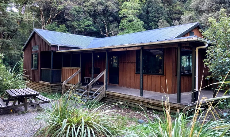
Meandering along the Atiwhakatu Stream to Atiwhakatu Hut, enjoying views up the river towards Mt Holdsworth and the Tararua Range, this easy track is great for families and groups.
Distance
7.2 km
Walking time
2-3 hr each way
Difficulty
Easy
Dogs
Allowed — check local rules
Wheelchair access
Not marked friendly
Current status
Weather outlook
Issued 11 Oct 2026, 7:33 am
11 October 2026
Showers, clearing this afternoon, but cloud and drizzle remaining about western slopes.
12 October 2026
Fine, apart from morning drizzle. A few showers at night.
13 October 2026
Showers, some possibly heavy.
14 October 2026
Occasional rain.
15 October 2026
Heavy rain easing to showers. Snow lowering to 1300 metres.
Regional guidance only; elevation and terrain can produce different conditions.
Explore the area
Explore the track route and surrounding area before you set out.
From Holdsworth Lodge, following the track over the Atiwhakatu stream, and continue walking upriver to Donnelly Flat. After this, the track gently climbs to traverse several bluffs before the first (and most exciting) swingbridge, which may be challenging for those without a head for heights! This also marks the halfway point. From here, track junctions on either side of this bridge lead to Mountain House Shelter and East Holdsworth respectively for those choosing to climb to Mt Holdworth via this route. After a break (which is enforced for groups as the bridge is for 1 person at a time), the track continues easily on until reaching a slip site where younger children may need a helping hand. From there, the walking is easy again, with many more bridges and boardwalks as well as gorgeous forest through to the hut.
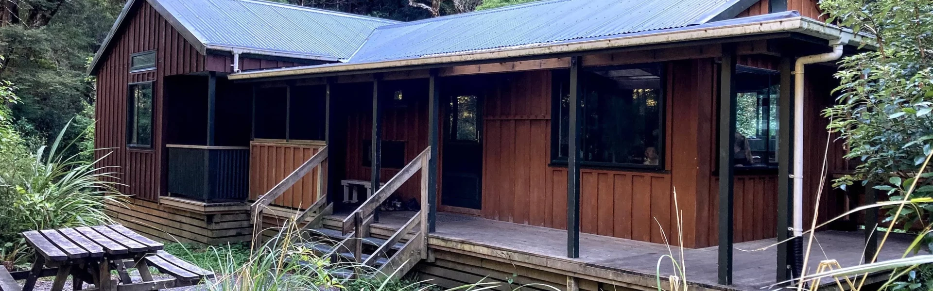
Atiwhakatu Hut must be booked in advance. Be aware that Saturday nights are frequently booked out months in advance. You'll need to bring your own stove and lights for the hut (it gets dark quickly!). Camping is also possible just downstream from the hut near the river with room for several tents. Be aware that this is on old river bed, so a good mattress is beneficial). Camping is also possible at Donnelly Flat and Holdsworth Campsite , or if with a larger group, book Holdsworth Lodge.
As you enter Masterton from the south, or leave from the north, take Norfolk Road toward the Tararua Ranges at the roundabout. This is signposted and there is a timber processing plant on the corner. Follow this road for 15 km to Holdsworth campsite. Use this location in Google Maps to find your way there.
We encourage you to continue gaining the skills and knowledge required for a safe trip. The NZ Mountain Safety Council has lots of free resources and information you can use. These can be accessed via www.mountainsafety.org.nz . Level up in your outdoor knowledge with these interactive online learning tools: Trip Planning Tramping / field Skills Basic Navigation River Safety Additionally, check out the range of helpful videos available from the NZ Mountain Safety Council YouTube channel .
Dogs allowed. Keep dog under control at all times.
Track information, access and weather can change. Confirm current alerts and land-manager information close to departure, tell someone your plans, and carry equipment appropriate for the route and conditions.