10 October 2026
Cloud increasing, and light showers developing this evening.
Loading outdoor place details…
Fiordland National Park
This tramping track offers an excellent trip to the North Borland Hut in Monowai, Fiordland.
Distance
27.2 km
Walking time
6 - 8 hours to hut
Difficulty
Advanced
Dogs
Not allowed
Wheelchair access
Not marked friendly
Current status
No active alerts found. Conditions can still change, so check again before leaving.
Weather outlook
Issued 10 Oct 2026, 7:33 am
10 October 2026
Cloud increasing, and light showers developing this evening.
11 October 2026
Showers, clearing in the afternoon but remaining cloudy with the odd shower lingering south of Secretary Island. Snow to 2100 metres in the north at first.
12 October 2026
Partly cloudy, with one or two morning showers south of Secretary Island.
13 October 2026
Heavy rain developing, with snow to 2400 metres.
14 October 2026
Showers, some possibly heavy. Snow lowering to 800 metres.
Regional guidance only; elevation and terrain can produce different conditions.
Explore the area
Explore the track route and surrounding area before you set out.
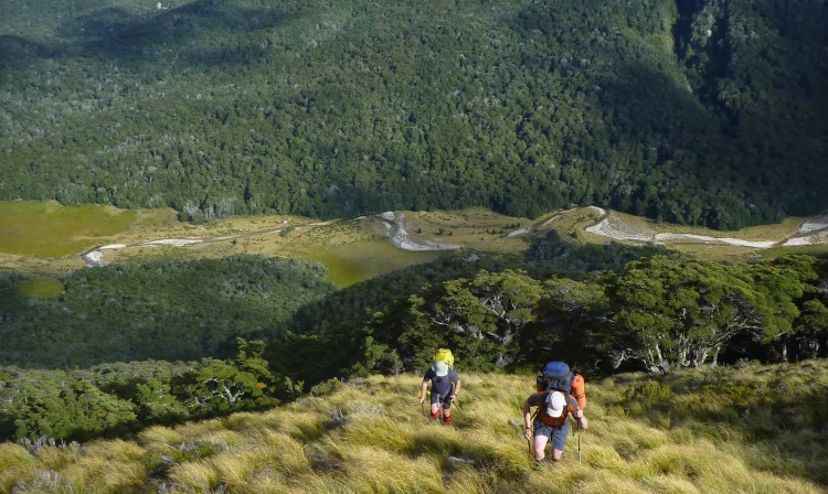
Start near Borland Lodge, following the Borland Nature Walk across the suspension bridge to the North Borland Track. The track follows the river for 1 hour 45 minutes to an intersection—take the North Borland Track, continuing for 45 minutes to a large limestone rock bivvy with shelter and a pit toilet. About 15 minutes past the bivvy, cross the Middle Branch of the Borland Burn with caution, as water levels can rise quickly. The track then climbs steeply above a gorge to a clearing with views of Mt Titiroa before re-entering the bush and leading to a tussock clearing. North Borland Hut is about 30 minutes beyond this point.
This track starts from Borland Lodge (Borland Road), in Monowai, Southland. Lake Monowai and the Borland Road are located about 67 km from Te Anau (1 hour), and 120 km from Invercargill (1 hour 45 min) and can be accessed via the Southern Scenic Route. Use this location on Google Maps to help find your way there.
We encourage you to continue gaining the skills and knowledge required for a safe trip. The NZ Mountain Safety Council has lots of free resources and information you can use. These can be accessed via www.mountainsafety.org.nz . We recommend trying these online learning tools: Trip Planning Tramping / field Skills Basic Navigation River Safety Additionally, check out the range of helpful videos available from the NZ Mountain Safety Council YouTube channel
No dogs.
Track information, access and weather can change. Confirm current alerts and land-manager information close to departure, tell someone your plans, and carry equipment appropriate for the route and conditions.