11 October 2026
Showers, clearing early afternoon but remaining mostly cloudy. Possible evening drizzle north of Wellington Harbour. Northerlies.
Loading outdoor place details…
Catchpool Valley & Ōrongorongo Valley
This popular, easy walk passes through different forest types and has swimming holes at the end of the track - it's ideal for families.
Distance
5.2 km
Walking time
2 hr one way
Difficulty
Easy
Dogs
On-lead only
Wheelchair access
Not marked friendly
Current status
Weather outlook
Issued 11 Oct 2026, 11:03 am
11 October 2026
Showers, clearing early afternoon but remaining mostly cloudy. Possible evening drizzle north of Wellington Harbour. Northerlies.
12 October 2026
Cloud clearing and becoming fine in the morning. Northerlies.
13 October 2026
A few showers. Northerlies.
14 October 2026
Rain becoming persistent in the evening. Northwesterlies, becoming strong in the evening.
15 October 2026
Showers, easing for a time. Northwesterlies, turning southerly in the evening.
Regional guidance only; elevation and terrain can produce different conditions.
Explore the area
Explore the track route and surrounding area before you set out.
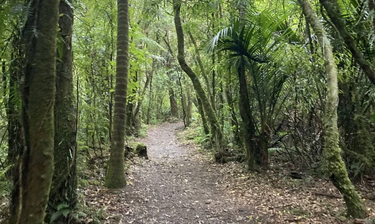
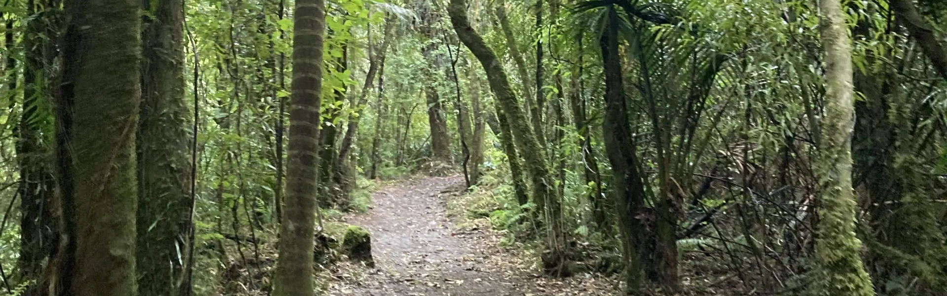
Time required : 2 hours one way. The Ōrongorongo Track is the most popular tramping track in Remutaka Forest Park, and the most commonly used track to access the many public and private huts in the Ōrongorongo Valley. It's an easy grade and makes for a pleasant day trip to the Ōrongorongo Valley and back to the Catchpool car park. For the first hour and a half the track climbs through the mixed podocarp and broadleaf forest along Catchpool Stream. The damp floor of the Catchpool Valley supports many nīkau palms, tree ferns, kāmahi and tawa trees. As you climb up to the drier sides of Cattle Ridge, the forest is more open and consists mainly of hard beech. Look out for a magnificent grove of huge northern rātā trees towering above the forest canopy as the track reaches its highest point in the saddle between Catchpool Valley and the Ōrongorongo River. There are swimming holes at Tūrere Stream at the end of the track. You can continue past the stream to the river where there are toilets.
The entrance to Catchpool Valley is open during summer (daylight savings) from 6am to 8pm, and in winter from 6am to 6pm. Pack adequate food and water for the journey. Take warm waterproof clothing and durable footwear, along with sun protection. There is no cellphone coverage in the Catchpool Valley, however a 24-hour emergency phone is available at the camping ground on Catchpool Road.
Graces Stream campsite is a great little backcountry campsite not far from the end of the track. Catchpool Valley campsite is a popular campsite in Catchpool Valley, with plenty of short and longer walks to explore. Turere Lodge is the largest and most popular of the DOC huts in Ōrongorongo Valley. It is suitable for families and larger groups and does not require crossing the Ōrongorongo River. It must be booked in advance. Each room has eight bunks and is sole occupancy. Individual bunks are not available. Jans Hut and Raukawa Hut are closer to the end of the track, but require a crossing of the river. The Ōrongorongo River rises quickly and can take several days to drop to a level that is safe to cross. Check the flow before leaving home. Do not cross the river when it's in flood or if sustained rainfall is forecast in the area. These huts must be booked in advance. As with most other DOC huts in the valley, the booking system is for booking the entire hut as sole occupancy. Individual bunks are not available. Other huts can be booked through DOC’s website or Wellington Tramping and Mountaineering Club.
Catchpool valley is 12 km south of Wainuiomata. Follow the Coast Road for 10 km to the Remutaka Forest Park entrance, then follow the Catchpool valley road for 2 km to the car park and information area. If the water is flowing over the ford on the road, park before the ford and use the Nga Taonga Nature Walk to reach the car park. The track starts from the main car park next to the small information shelter. Use this location in Google Maps to find your way there.
We encourage you to continue gaining the skills and knowledge required for a safe trip. The NZ Mountain Safety Council has lots of free resources and information you can use. These can be accessed via www.mountainsafety.org.nz . We recommend trying these online learning tools: Trip Planning Tramping / field Skills Basic Navigation River Safety Additionally, check out the range of helpful videos available from the NZ Mountain Safety Council YouTube channel .
Dogs on a leash only.
Track information, access and weather can change. Confirm current alerts and land-manager information close to departure, tell someone your plans, and carry equipment appropriate for the route and conditions.