10 October 2026
Cloud, low about the foothills, breaking up in the morning. Scattered showers developing this afternoon, possibly heavy and thundery with hail, mainly about the foothills.
Loading outdoor place details…

Mount Thomas Forest Conservation Area
This track is a challenging day or multi-day hike. It is suitable for trampers with a moderate to high level of backcountry experience. Follow the Okuku River to Pinchgut Hut.
Distance
5.7 km
Walking time
3 hr one way
Difficulty
Advanced
Dogs
On-lead only
Wheelchair access
Not marked friendly
Current status
No active alerts found. Conditions can still change, so check again before leaving.
Weather outlook
Issued 10 Oct 2026, 7:33 am
10 October 2026
Cloud, low about the foothills, breaking up in the morning. Scattered showers developing this afternoon, possibly heavy and thundery with hail, mainly about the foothills.
11 October 2026
Fine, apart from showers before dawn.
12 October 2026
Fine.
13 October 2026
Showers developing.
14 October 2026
Rain turning to showers. Snow lowering to 1900 metres.
Regional guidance only; elevation and terrain can produce different conditions.
Explore the area
Explore the track route and surrounding area before you set out.
Time required : 3 hours each way. From the parking area, walk along the gravel road for about 300 m then take a track that drops down to the Okuku River. Cross the river, picking up a marked track leading to a clearing. Turn right and follow another short section of marked track. Turn right onto a vehicle track, following it for 400 m, then left onto a benched track above Okuku River. Along this section you pass through an impressive stand of kānuka. There are two large land slips which are bypassed by walking along the edge of the river. Beyond Whare Stream the track climbs steeply, then sidles along the hillside to Pinchgut Hut. From Pinchgut Hut For those planning to venture beyond the hut, it's 3 hours to Bob's Camp Biv via Cattle Peak Route, and 2 hours 30 minutes to the junction with Bob's Camp Bivouac Route via Whare Ridge Route.
Wasp populations reach high numbers from January to March – wear light-coloured clothing and carry antihistamine cream/tablets as a precaution. River crossing over Okuku River may not be possible in high flows. If the water is discoloured, flowing faster than walking pace or above thigh height then do not cross. See the helpful resources below for more information on how to cross rivers safely.
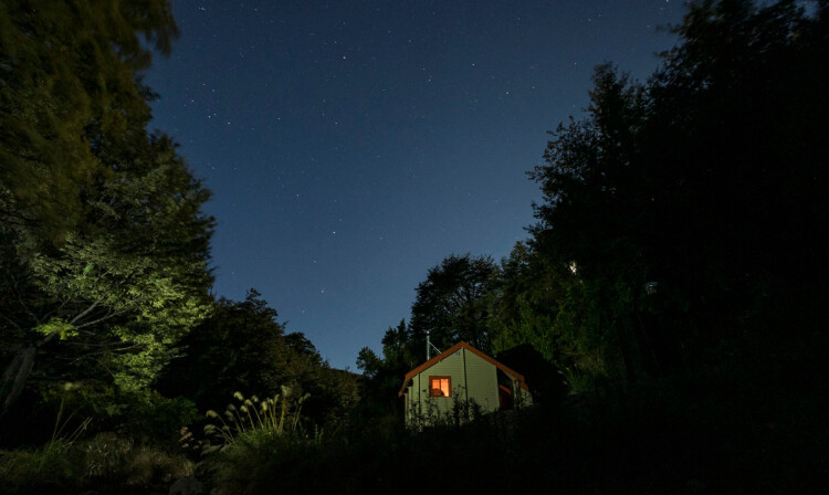
Pinchgut Hut is a small standard hut which sleeps seven.
From Loburn, follow the Loburn - Whiterock Road for 13 km. Turn into Taaffes Glen Road and follow this until you reach Round Hill Stream where there is a small parking area. Or use this link to find your way there in google maps
We encourage you to continue gaining the skills and knowledge required for a safe trip. The NZ Mountain Safety Council has lots of free resources and information you can use. These can be accessed via www.mountainsafety.org.nz . We recommend trying these online learning tools: Trip Planning Tramping / field Skills Basic Navigation River Safety Additionally, check out the range of helpful videos available from the NZ Mountain Safety Council YouTube channel .
Dogs on a leash only.
Track information, access and weather can change. Confirm current alerts and land-manager information close to departure, tell someone your plans, and carry equipment appropriate for the route and conditions.