10 October 2026
Mostly cloudy, with the odd shower developing in the afternoon. Northeasterlies developing early afternoon.
Loading outdoor place details…
Waipā
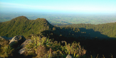
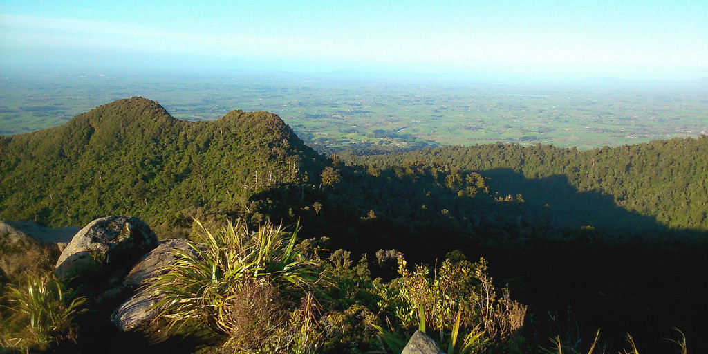
Te Araroa trail section: Cross Pirongia Forst Park, through native bush and over the 959m summit of Pirongia.
Distance
16.2 km
Walking time
1–2 days
Difficulty
Intermediate
Dogs
Not allowed
Wheelchair access
Not marked friendly
Current status
Weather outlook
Issued 10 Oct 2026, 10:55 am
10 October 2026
Mostly cloudy, with the odd shower developing in the afternoon. Northeasterlies developing early afternoon.
11 October 2026
A few showers. Northeasterlies, turning northwesterly in the morning.
12 October 2026
Occasional rain, clearing north of Hamilton in the evening but remaining cloudy. Northerlies developing for a time in the morning and afternoon.
13 October 2026
A few showers. Northwesterlies, dying out in the evening.
14 October 2026
A few showers. Northwesterlies developing in the morning.
Regional guidance only; elevation and terrain can produce different conditions.
Explore the area
Explore the track route and surrounding area before you set out.
Pirongia Traverse - 19km This traverse of Pirongia Mountain starts with the Department of Conservation's Nikau Walk – an easy stroll south from the Kāniwhaniwha carpark, following the stream through a forest of plantings. Shortly after leaving the farmland and just before a circular walk through beautiful native forest, you take the Tahuanui Track leading towards the southeast. Here, you will find a picnic/campsite clearing with toilets and the last opportunity for swimming before starting the ascent to the summit. The Tahuanui Track then climbs steadily up a ridge through stands of tawa to the summit ridge where several tracks converge on the 959m summit of Pirongia. So far, this should have taken roughly 4-5 hours. 30 minutes beyond the summit in a westerly direction is the Pahautea Hut. It is generally a good idea to stay overnight in this hut and continue south the following day. Pahautea Hut is covered by the Trail Pas s. Please read the Trail Pass information on the website at https://www.teararoa.org.nz/the-trail-pass/ to decide whether the Trail Pass or an individual hut payment is right for you. The hut has to be booked through DOC either way, but can be paid for with the Trail Pass, the DOC Backcountry Hut Pass or direct payment on the booking page Information from DOC regarding Pahautea Hut : For both the hut and campsite, you must book. Even though the campsites are free of charge, a booking is required to secure your place. Backcountry Hut Passes can be used at this hut. To pay with your Backcountry Hut Pass, create/update your account on our (DOC's) booking system. Under 'Apply for a discount', select 'Backcountry Hut Pass Holder' and upload a scan of your pass. Once we've verified your pass, it will automatically be applied when you make a booking. From the hut, you continue westward on boardwalks, following the Hihikiwi Track with good views to the south. 1km below Hihikiwi Peak and about 600m before Te Akeohikopiro Peak, you take a new spur track heading off in a southwestern direction. Follow this all the way down to Pirongia West Road. What to expect on a tramping track: The track is mostly unformed with steep, rough or muddy sections Suitable for people with good fitness. Moderate to high-level backcountry skills and experience, including navigation and survival skills required The track has markers, poles or rock cairns. Expect unbridged stream and river crossings Tramping/hiking boots required.
Potential hazards Poisons and traps Small stream crossings If weather is bad, it's advised to stay in the hut until it clears Few water sources Hut water may need to be treated Weather on Pirongia Weather conditions can change rapidly, especially at higher altitudes. Always carry a change of clothing, wet weather gear and sufficient food to cater for any emergency. Pirongia weather forecast - NIWA NIWA 3-day forecast No dogs allowed.
Northern Start: DOC picnic area, Limeworks Loop Road Southern End: Junction of Pirongia West Road with Omanawa Stream
Before starting Te Araroa either as a through-walker of the whole country or a section walker, please register on Te Araroa website . Please also visit the website or download the app for detailed maps, trail alerts and other relevant information. This track is part of the Herenga ā Nuku Aotearoa track database. Herenga ā Nuku has maps and advice about public access to the outdoors . We encourage you to continue gaining the skills and knowledge required for a safe trip. The NZ Mountain Safety Council has lots of free resources and information you can use. These can be accessed via www.mountainsafety.org.nz . We recommend trying these online learning tools: Trip Planning Tramping/field Skills Basic Navigation River Safety Additionally, check out the range of helpful videos available from the NZ Mountain Safety Council YouTube channel .
Potential hazardsPoisons & traps Small stream crossings If weather is bad, it's advised to stay in the hut until it clears Few water sources Hut water may need to be treated. Weather on PirongiaWeather conditions can change rapidly, especially at higher altitudes. Always carry a change of clothing, wet weather gear and sufficient food to cater for any emergency.No dogs allowed.
Track information, access and weather can change. Confirm current alerts and land-manager information close to departure, tell someone your plans, and carry equipment appropriate for the route and conditions.