10 October 2026
Mostly cloudy, with a few showers about the inland ranges. Northerlies.
Loading outdoor place details…
Blenheim area
A short walk starting from the Whites Bay Campsite.
Distance
1 km
Walking time
15 min loop
Difficulty
Easy
Dogs
Not allowed
Wheelchair access
Not marked friendly
Current status
Weather outlook
Issued 10 Oct 2026, 11:01 pm
10 October 2026
Mostly cloudy, with a few showers about the inland ranges. Northerlies.
11 October 2026
Cloudy with showers, mainly about the Sounds and inland ranges, clearing and becoming mainly fine late afternoon. Northwesterlies but northeasterlies about Kaikoura Coast, strong at times, easing everywhere in the evening.
12 October 2026
Fine. Light winds, then northerlies developing in the afternoon.
13 October 2026
Mainly fine, but isolated showers in the morning and afternoon. Northwesterlies.
14 October 2026
Showers developing in the morning. Northerlies developing in the morning.
Regional guidance only; elevation and terrain can produce different conditions.
Explore the area
Explore the track route and surrounding area before you set out.
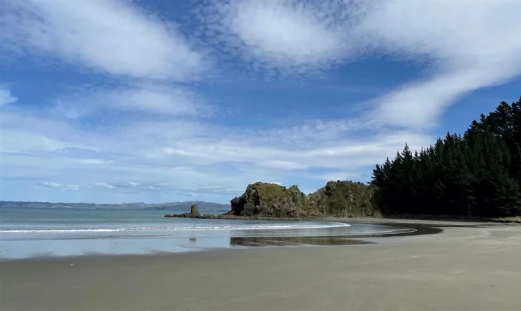
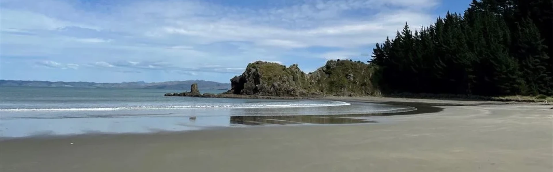
From the uppermost camping area at Whites Bay, the Pukatea Walk meanders down to the cable station alongside Pukatea Stream passing through regenerating forest.
Hot, dry conditions and strong, cold winds are common in this area. Open fires are not permitted at any of the East Coast reserves and only portable stoves should be used for cooking. Watch out for wasps, especially in late summer and autumn.
Follow SH1 to Tuamarina (9 km north of Blenheim or 20 km south of Picton). Turn off and head east via Hunter, Pembers and Rarangi Roads to Rarangi, before climbing steeply over rugged hills to where a short side road leads down to the cable station. Whites Bay is 15 km from Tuamarina. Alternative access involves a 41 km drive from Picton along the historic and spectacular but winding and unsealed Port Underwood Road. Use this location on Google Maps to help find your way there.
We encourage you to continue gaining the skills and knowledge required for a safe trip. The NZ Mountain Safety Council has lots of free resources and information you can use. These can be accessed via www.mountainsafety.org.nz . Level up in your outdoor knowledge with these interactive online learning tools: Trip Planning Tramping / field Skills Basic Navigation River Safety Additionally, check out the range of helpful videos available from the NZ Mountain Safety Council YouTube channel .
No dogs.
Track information, access and weather can change. Confirm current alerts and land-manager information close to departure, tell someone your plans, and carry equipment appropriate for the route and conditions.