11 October 2026
Scattered showers, becoming confined south of Doubtful Sound in the afternoon.
Loading outdoor place details…
Fiordland National Park
This challenging tramping route from Hollyford Road to the West Coast offers an adventure for experienced and well equipped trampers. Combine with the Hollyford Track for a 10 day round trip.
Distance
88 km
Difficulty
Expert
Dogs
Not allowed
Wheelchair access
Not marked friendly
Current status
Weather outlook
Issued 10 Oct 2026, 9:23 pm
11 October 2026
Scattered showers, becoming confined south of Doubtful Sound in the afternoon.
12 October 2026
Partly cloudy, with one or two morning showers south of Secretary Island.
13 October 2026
Heavy rain developing, with snow to 2400 metres.
14 October 2026
Rain, with snow to 1900 metres, turning to showers.
15 October 2026
Showers, with snow to 800 metres, easing.
Regional guidance only; elevation and terrain can produce different conditions.
Explore the area
Explore the track route and surrounding area before you set out.
Distance: 20 km Time: 5-7 hrs After crossing Humboldt Creek, follow the old road to the start of the track. Raised boardwalks cover some flood-prone sections. At Hidden Falls Creek, you’ll pass Sunshine Hut (used by Hollyford Valley Guided Walks), then continue upstream to a swing bridge. Hidden Falls is just 2 minutes past the bridge. From there, it’s another 10 minutes to Hidden Falls Hut (12 bunks), with views of Mt Madeline. The track moves through lowland ribbonwood and podocarp forest, rich with mosses and ferns, before entering taller beech forest. A steady climb over Little Homer Saddle gives good views of Mt Madeline and Mt Tutoko (2,723 m). From there, the track drops to the confluence of the Hollyford and Pyke rivers, near the Hollyford Valley Guided Walks’ Pyke Lodge. Continue another 20 minutes up the Pyke River to reach Lake Alabaster Hut (26 bunks).
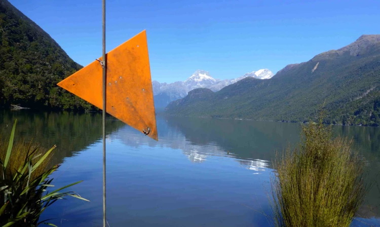
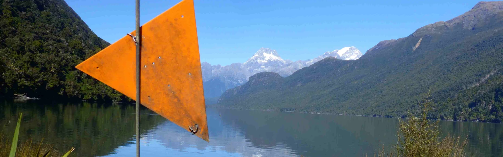
Distance: 16 km Time: 7-10 hrs From Lake Alabaster Hut, follow the lakeshore to Alabaster Creek at the head of the lake (2–4 hr, unmarked). You’ll hit knee-deep water near the creek in normal conditions—after rain, this section can be slow-going and tricky due to tree debris. Alabaster Creek is usually crossed at the gravel bar near the mouth, but it becomes deep and hazardous after rain. From the head of the lake, pick up the orange markers through open flax and tussock before heading into the forest. The route passes through the aptly named ‘Black Swamp’, then follows an overgrown track along the true left of the Pyke River—through beech forest, wetlands, and river flats—to Olivine Hut (6 bunks).
Distance: 21km Time: 6-9 hrs Use the cage to cross the Olivine River. From there, the route follows the old stock track. It’s marked but can be hard to follow in places due to overgrown vegetation. Between the Diorite and Barrier rivers, you’ll cross open flax and tussock wetlands. Both rivers are unbridged and can be impassable after rain. The route then heads through tall beech forest to Lake Wilmot. Travel around the lake is tough, especially when water levels are high. Beyond the lake, continue through beech forest, flax flats, and along the river to the Pyke airstrip and Pyke Crossing. Markers here can be hard to spot or missing due to flood damage, so take care. There are good camping spots in the area.
Distance : 15 km Time : 3–5 hr The Pyke River is usually crossed just downstream of Paulin Creek, but it’s impassable after rain. From there, the route follows Paulin Creek through the forest to the Dry Awarua River. An old prospecting road then leads out to the river mouth at Big Bay. In normal conditions, you can cross here at low tide—otherwise, there’s a track 15 minutes upstream to a swing bridge. Big Bay Hut (9 bunks) is at the southern end of the village. Please respect the private dwellings in the area.
Distance: 16 km Time: 4-5 hrs From Big Bay, follow the sandy beach to McKenzie Creek at the southern end of the bay. Crossing the creek can be risky—after rain it’s often impassable and dangerous, so take care. A short track leads from the creek to the coast. Follow the shoreline to Long Reef, then pick up the track to Martins Bay Hut (24 bunks) and the Hollyford Track. Note: the beach near Long Reef isn’t walkable at high tide. Aim to be there within 2 hours either side of low tide, or take the inland route. The inland track cuts through thick flax and is rough and overgrown—take a compass. The Hollyford Track follows the true right of the Hollyford River/Whakatipu Kā Tuka. After about an hour, you’ll reach private dwellings and two airstrips.
From here the track follows the Hollyford Track back to Lower Hollyford Road over 4 days. Martins Bay to Hokuri Hut 4–5 hr, 13 km Hokuri Hut to Demon Trail Hut 5–6 hr, 9.6 km Demon Trail Hut to McKerrow Island Hut 1 hr 30 min, 4.2 km (McKerrow Island Hut is not accessible after heavy rain. No bridge.) McKerrow Island Hut to Lake Alabaster Hut 4 hr, 10.5 km Lake Alabaster Hut to Hidden Falls Hut 3–4 hr, 10.5 km Hidden Falls Hut to Hollyford Road end 2–3 hr, 9 km
This is a challenging route requiring above-average fitness and advanced backcountry skills, including navigation, survival, and river crossing experience. The track is poorly defined in places, and flooding can make sections impassable for days. Unbridged rivers must be crossed, and route times vary with fitness and weather conditions. Carry a Personal Locator Beacon (PLB). Take Topo50 maps: CA09 Alabaster Pass and BZ09 Awarua Point. They are available for purchase from the Fiordland National Park Visitor Centre. The route near Lake Wilmot does not follow the alignment on the NZTopo map CA09 (printed before 2017). Visit NZ Topo Map or contact the Fiordland National Park Visitor Centre for information on the realignment. Several rivers are unbridged—strong river-crossing skills are essential. If a river is too high, wait until levels drop. Barrier, Diorite and Pyke Crossing Rivers can be un-crossable even in a medium rain event. Be aware of tide times in coastal sections. Flooding is common—some areas may be impassable for days. Be prepared to change your plans. Travel times vary with weather, fitness, and experience. Take extra food in case you're delayed. Know the signs and treatment of hypothermia. Be fully self-sufficient: carry at least two days’ extra food, clothing, and gear. Take a portable stove, fuel, and a tent. This route has a cableway - before crossing, read the on-site instructions, follow all safety guidelines, and only use the cableway as part of a larger group or with a Personal Locator Beacon (PLB), keeping hands, clothing, and long hair clear of the main cable and wheels, and in case of an emergency, stay where you are and activate your PLB or have your party seek help.
All huts are on a first come basis year round, there are no reservations. You can camp beside the huts. You need hut tickets or a backcountry pass to stay at these huts. They're available from any DOC visitor centre. Each hut has heating, mattresses and a pit toilet. There are no cooking facilities, carry your own portable stove. It is a good idea to carry a tent, due to long distances between huts. Hidden Falls Hut Lake Alabaster Hut Olivine Hut Big Bay Hut Martins Bay Hut Hokuri Hut Demon Trail Hut McKerrow Island Hut
This track starts on the first part of the Hollyford Track (end of the Hollyford Road). To get to the Hollyford Road from Te Anau, turn off from the Milford Road (State Highway 94) at Marian Corner, a few minutes towards Milford Sound from The Divide. Marian Corner is about 87 km along the Milford Road from Te Anau. Allow 2 hours to drive from Te Anau to the end of the Hollyford Road. Use this location in Google Maps to find your way there.
We encourage you to continue gaining the skills and knowledge required for a safe trip. The NZ Mountain Safety Council has lots of free resources and information you can use. These can be accessed via www.mountainsafety.org.nz . We recommend trying these online learning tools: Trip Planning Tramping / field Skills Basic Navigation River Safety Additionally, check out the range of helpful videos available from the NZ Mountain Safety Council YouTube channel
No dogs.
Track information, access and weather can change. Confirm current alerts and land-manager information close to departure, tell someone your plans, and carry equipment appropriate for the route and conditions.