10 October 2026
Cloudy periods, then a few showers from late afternoon, possibly heavy and thundery inland. Northeasterlies.
Loading outdoor place details…
Mount Thomas Forest Conservation Area
Climb to the summit of Mt Richardson (1047 m) for great views to the Puketeraki Range and over Lees Valley.
Distance
11.5 km
Walking time
3 hr
Difficulty
Advanced
Dogs
On-lead only
Wheelchair access
Not marked friendly
Current status
No active alerts found. Conditions can still change, so check again before leaving.
Weather outlook
Issued 10 Oct 2026, 4:55 pm
10 October 2026
Cloudy periods, then a few showers from late afternoon, possibly heavy and thundery inland. Northeasterlies.
11 October 2026
Areas of early low cloud otherwise fine. Isolated afternoon showers, mainly about the foothills. Northeasterlies, then northwesterly from afternoon but light winds south of Rakaia River then becoming southerly there at night.
12 October 2026
Fine. Northeasterlies developing for a time in the afternoon and evening.
13 October 2026
Fine, but becoming cloudy in the afternoon. Northwesterlies.
14 October 2026
Rain easing in the afternoon. Southerlies, dying out in the afternoon.
Regional guidance only; elevation and terrain can produce different conditions.
Explore the area
Explore the track route and surrounding area before you set out.
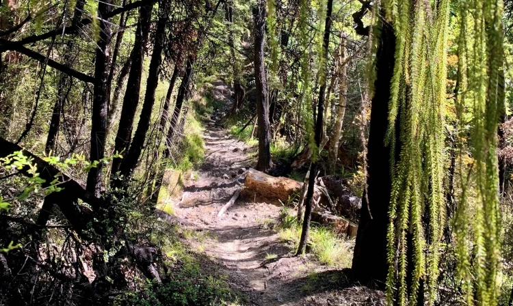
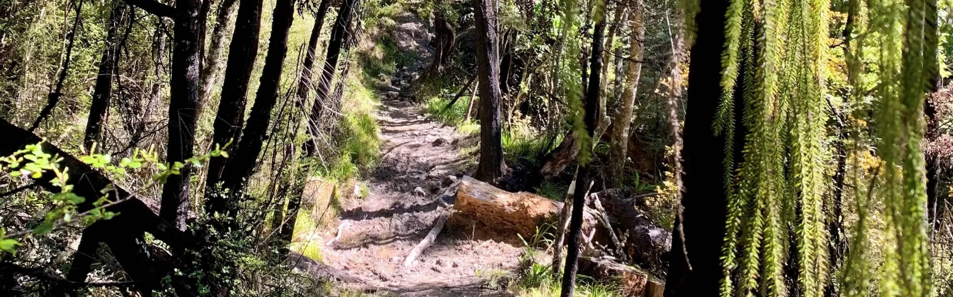
Starting from the Glentui picnic area, Richardson Track is the most direct route up to Mt Richardson and can be combined with Bypass Track to make a circuit. They are both good tracks for people with moderate fitness. Starting at the Glentui picnic area, follow along the lefthand entrance to the gentle Glentui Loop Track. On reaching the track junction with Richardson Track, continue to the left which will initially continue alongside Glentui River before beginning the climb to the summit of Mt Richardson. This is a moderately steep track, which climbs through tawhai forest and then emerges into tussock grasslands and Dracophyllum scrub on the upper slopes of Mt Richardson. Either return the way you came, or for a loop walk, head eastwards along Blowhard Track until you reach Bypass Track. Turning right onto Bypass Track, you'll follow a ridge down the eastern side of the Glentui River catchment, to emerge back on the Glentui Nature Trail and into the Glentui picnic area . Blowhard Track continues along the ridge before descending down to Maori Reserve Road. When combined with Richardson Track, this makes for a 6-hour walk. There is no link track between Maori Reserve Road and Glentui picnic area, so transport needs to be arranged if choosing this option. This track is a shared use trail, where mountain biking and horse riding is permitted.
The tracks in the area get wet and muddy after rain, but generally dry out again after a week of fine weather. Bikes and horses are not permitted on the Richardson and Bypass tracks, however they are allowed on Blowhard Track , so be prepared to encounter them along this section of the loop.
Richardson and Bypass Tracks are accessed from Glentui Bush Road. From Oxford, follow Ashley Gorge Road for 13 km to Glentui. Turn into Glentui Bush Road and follow this for 6 km to the end. Use this location in Google Maps to find your way there. If combining with Blowhard Track, this finishes on Maori Reserve Road. From Oxford, follow Ashley Gorge Road for 16 km, then turn into Maori Reserve Road and follow this for 4 km to the end. Use this location in Google Maps to find your way there.
We encourage you to continue gaining the skills and knowledge required for a safe trip. The NZ Mountain Safety Council has lots of free resources and information you can use. These can be accessed via www.mountainsafety.org.nz . We recommend trying these online learning tools: Trip Planning Tramping / field Skills Basic Navigation River Safety Additionally, check out the range of helpful videos available from the NZ Mountain Safety Council YouTube channel .
Dogs on a leash only.
Track information, access and weather can change. Confirm current alerts and land-manager information close to departure, tell someone your plans, and carry equipment appropriate for the route and conditions.