8 October 2026
Scattered rain clearing in the morning to partly cloudy weather. Isolated showers in the afternoon and evening.
Loading outdoor place details…
Hāwea Conservation Park
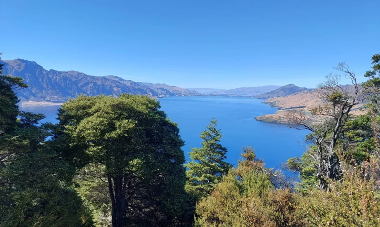
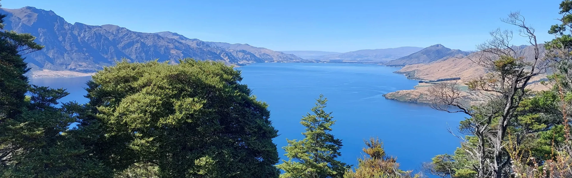
The Sawyer Burn Track climbs through the forest to the bushline and has superb views of Lake Hāwea and the surrounding mountains.
Distance
8 km
Walking time
1-2 hr to the bushline, 5 hr return to Sawyer Burn Hut
Difficulty
Advanced
Dogs
Not allowed
Wheelchair access
Not marked friendly
Current status
No active alerts found. Conditions can still change, so check again before leaving.
Weather outlook
Issued 7 Oct 2026, 9:23 pm
8 October 2026
Scattered rain clearing in the morning to partly cloudy weather. Isolated showers in the afternoon and evening.
9 October 2026
Cloud about the terrain lifting in the morning, then returning in the evening. Isolated afternoon and evening showers.
10 October 2026
Partly cloudy with isolated showers.
11 October 2026
Partly cloudy with isolated showers.
12 October 2026
Partly cloudy.
Regional guidance only; elevation and terrain can produce different conditions.
Explore the area
Explore the track route and surrounding area before you set out.
The Sawyer Burn Track is an 8 km out-and-back route with a solid 550 m climb and excellent views over Lake Hāwea and the Sawyer Burn valley. The track is well-marked and generally easy to follow, with just a few technical sections. Starting from the Kidds Bush Nature Walk at around 370 m elevation, the track climbs steadily, then steeply via multiple switchbacks through forest to the first viewpoint overlooking Lake Hāwea. After dipping briefly back into the forest, the climb continues to an upper viewpoint. From there, a gently undulating sidle along the eastern side of the range offers views over the Sawyer Burn and eventually towards Sentinel Peak, leading to the 2-bed Sawyer Burn Hut. From the hut, it’s possible to continue on to Sentinel Peak.
This area has terrain that can produce avalanches that cross the track, usually from May into November. No dogs.
Sawyer Burn Hut
Sawyer Burn Track starts from the Kidds Bush Recreation Reserve campsite, 6 km along Meads Road – turn off SH6 at The Neck. Use this location on Google Maps to help find your way there.
We encourage you to continue gaining the skills and knowledge required for a safe trip. The NZ Mountain Safety Council has lots of free resources and information you can use. These can be accessed via www.mountainsafety.org.nz . We recommend trying these online learning tools: Trip Planning Tramping / field Skills Basic Navigation River Safety Additionally, check out the range of helpful videos available from the NZ Mountain Safety Council YouTube channel
No dogs.
Track information, access and weather can change. Confirm current alerts and land-manager information close to departure, tell someone your plans, and carry equipment appropriate for the route and conditions.