08 October 2026
Mostly cloudy with patchy drizzle, clearing in the morning to fine breaks. Light winds.
Loading outdoor place details…
Bannockburn area
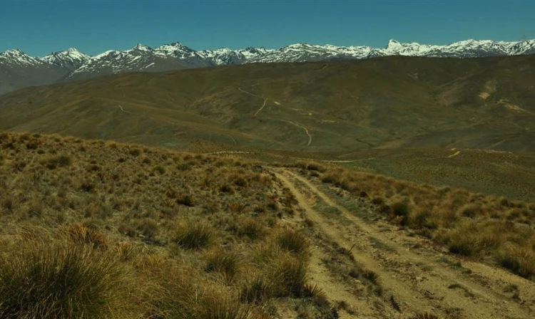
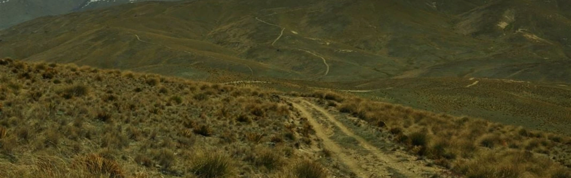
Journey through the Carrick Range, past the spectacular Long Gully bluffs. There are brilliant views from the tops and golden colours in the lower reaches during autumn.
Distance
24.5 km
Walking time
6 hr one way
Difficulty
Easy
Dogs
Not allowed
Wheelchair access
Not marked friendly
Current status
No active alerts found. Conditions can still change, so check again before leaving.
Weather outlook
Issued 8 Oct 2026, 11:31 am
08 October 2026
Mostly cloudy with patchy drizzle, clearing in the morning to fine breaks. Light winds.
09 October 2026
Fine. Light winds, then northerlies developing at night.
10 October 2026
Mainly fine, isolated showers developing in the afternoon. Northerlies developing in the morning.
11 October 2026
Fine. Light winds.
12 October 2026
Fine. Light winds.
Regional guidance only; elevation and terrain can produce different conditions.
Explore the area
Explore the track route and surrounding area before you set out.
This well-defined farm road begins at the top of the Young Australian Historic Reserve at 1250 m and offers wide views over the Cromwell basin, Lake Dunstan and the Clutha/Mata-Au valley. The route passes through short tussock, farm pasture grasses and areas of shrubland lower down the range. It continues through the Potters Creek Conservation Area and provides access to Slapjack Saddle and the Long Gully and Mt Difficulty conservation areas before carrying on to the Felton Road car park via the Long Gully Loop Track and Bannockburn Sluicings Track . Have transport arranged if exiting at Bannockburn Reserve, or consider turning around and returning the way you came at Slapjack Saddle, which makes a 17km walk. Two short side trips branch from the Slapjack Saddle Track. The 1220 Track (3 km return, 1 to 1.5 hours) climbs to 1220 m and gives excellent views of the Hector Mountains and Nevis Valley while also providing access to the Potters Creek Conservation Area. The Slapjack Creek Track (2 km return, 1 to 1.5 hours) descends 100 m from Slapjack Saddle to the boundary of the Slapjack Creek and Mt Difficulty Conservation Area, offering good views into the Kawarau Gorge before returning uphill to the main track.
The Long Gully Loop Track is closed for lambing from 1 October to 30 November, so you will need to return via the Young Australian Historic Reserve Road. Most of the tracks in this area cross private property - stay on the tracks and roads and leave gates as you find them. This is a very dry area with no water on the tracks - take water with you. There are no designated campsites or huts in this area - do not camp on private land. Remember that all rocks, historic artefacts (including earth and stone works), native plants and animals are protected on public land - tread carefully and take only photos.
From Nevis Road, near Duffers Saddle, turn onto the Young Australian Historic Reserve 4WD road. Follow this for 4.5 km to a junction in the road and the start of the Slapjack Saddle Track. Use this location on Google Maps to help find your way there.
We encourage you to continue gaining the skills and knowledge required for a safe trip. The NZ Mountain Safety Council has lots of free resources and information you can use. These can be accessed via www.mountainsafety.org.nz . Level up in your outdoor knowledge with these interactive online learning tools: Trip Planning Tramping / field Skills Basic Navigation River Safety Additionally, check out the range of helpful videos available from the NZ Mountain Safety Council YouTube channel .
No dogs.
Track information, access and weather can change. Confirm current alerts and land-manager information close to departure, tell someone your plans, and carry equipment appropriate for the route and conditions.