11 October 2026
Showers, possibly heavy with snow to 2000 metres, clearing in the afternoon, but some cloud remaining about western faces.
Loading outdoor place details…
Tongariro National Park
A great day hike with views of Lower Tama Lake, Taranaki Falls, Mt Ruapehu and Mt Ngauruhoe.
Distance
17 km
Walking time
5-6 hr (to Lower Tama Lake)
Difficulty
Intermediate
Dogs
Not allowed
Wheelchair access
Not marked friendly
Current status
Weather outlook
Issued 10 Oct 2026, 9:23 pm
11 October 2026
Showers, possibly heavy with snow to 2000 metres, clearing in the afternoon, but some cloud remaining about western faces.
12 October 2026
Rain easing to isolated showers in the morning.
13 October 2026
Showers, some possibly heavy.
14 October 2026
Mostly cloudy with a few showers developing.
15 October 2026
Rain turning to showers, some heavy. Snow lowering to 2100 metres.
Regional guidance only; elevation and terrain can produce different conditions.
Explore the area
Explore the track route and surrounding area before you set out.
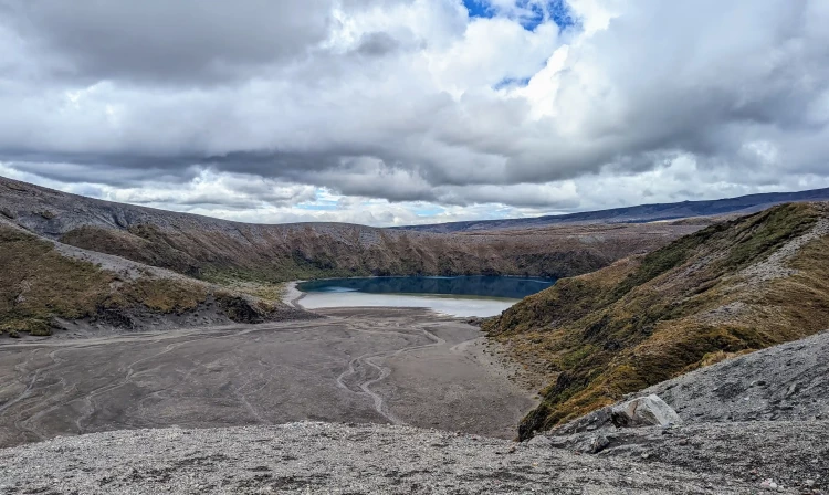
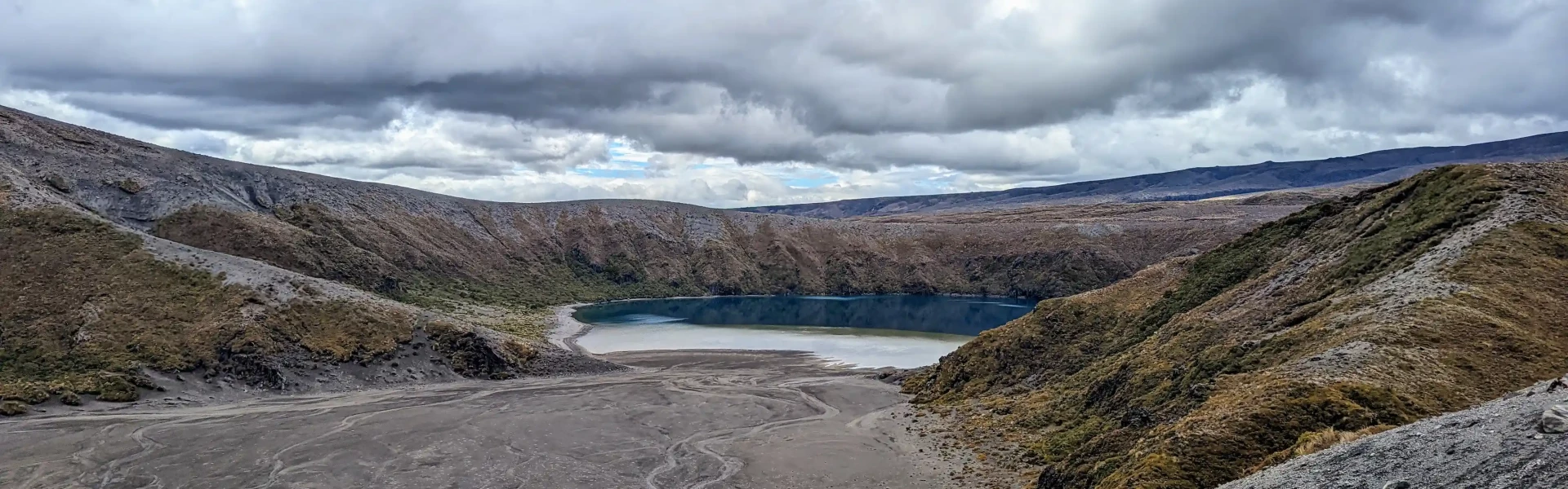
First start out on either of the tracks to Taranaki Falls from Whakapapa Village. The upper track is slightly more direct, but the lower track travels through beautiful mature native bush and heads past the base of the Falls. You may choose to walk the other track on your return. After passing Taranaki Falls, the track crosses undulating tussock country and alpine herb fields on a well-formed and marked track. Further on, the track branches to the left to Tama Lakes, while the main Tongariro Northern Circuit track continues on to Waihohonu Hut. From this junction is a view of the lower lake (1,240 metres) with the surrounding backdrop of Mt Ngauruhoe to the north and Mt Ruapehu behind. The track then climbs steeply to a viewpoint of the upper lake (1,440 metres). From here the track is not formed and is made of loose and uneven rock. There are no formed tracks down to the lakes, the descent to both is via steep unstable gullies. To ensure these pristine alpine lakes are kept free of weeds, do not touch or swim in the water. Ensure you take your mobile phone as reception is possible on many parts of the track.
Although this does not climb to the same elevation level as Tongariro Crossing, it is exposed to wind from all directions, so you'll need to bring warm and waterproof layers and be prepared for weather conditions to change. Park along the roadside downhill of The Chateau, as the carpark opposite the Visitor Centre has parking restrictions.
These walks all start in Whakapapa Village, on SH48. Use this location in Google Maps to find your way there.
We encourage you to continue gaining the skills and knowledge required for a safe trip. The NZ Mountain Safety Council has lots of free resources and information you can use. These can be accessed via www.mountainsafety.org.nz . We recommend trying these online learning tools: Trip Planning Tramping / field Skills Basic Navigation Additionally, check out the range of helpful videos available from the NZ Mountain Safety Council YouTube channel .
Tama Saddle acts as a funnel for prevailing westerly winds. Windproof clothing is recommended. It is common to experience strong wind, heavy rainfall, cold temperatures and possible snow, even in summer. A fine summer’s day has the possibility of afternoon thunderstorms. The climb to the upper lake is very exposed to northerlies resulting in limited visibility on the narrow ridge line. Take warm and waterproof layers and be prepared for all weather conditions.
No dogs.
Track information, access and weather can change. Confirm current alerts and land-manager information close to departure, tell someone your plans, and carry equipment appropriate for the route and conditions.