11 October 2026
Showers about the Divide, clearing in the evening, otherwise fine.
Loading outdoor place details…
Mackenzie District
Te Araroa trail section: Skirt the glacial blue lakes of Tekapo, Pukaki and Ōhau by following canals, shoreline and other pathways.
Distance
87.3 km
Walking time
2–3 days
Difficulty
Easy
Dogs
Not allowed
Wheelchair access
Not marked friendly
Current status
Meridian contractors have begun clearing wilding pines alongside Section 2 of the Alps 2 Ocean Cycle Trail. To ensure public safety, a temporary trail diversion has been established using an existing formed track, which can be followed using the purple bypass on the Trail App The diversion route is clearly marked with Alps 2 Ocean and Te Araroa signage and will remain in place while tree-felling operations are underway, expected to continue through to mid-November 2026. Please follow all signage and take care while travelling through the area.
Weather outlook
Issued 10 Oct 2026, 9:23 pm
11 October 2026
Showers about the Divide, clearing in the evening, otherwise fine.
12 October 2026
Fine.
13 October 2026
Partly cloudy with isolated showers.
14 October 2026
Rain, with heavy falls.
15 October 2026
Rain developing, with snow to 600 metres.
Regional guidance only; elevation and terrain can produce different conditions.
Explore the area
Explore the track route and surrounding area before you set out.
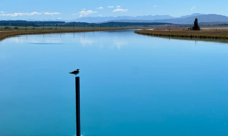
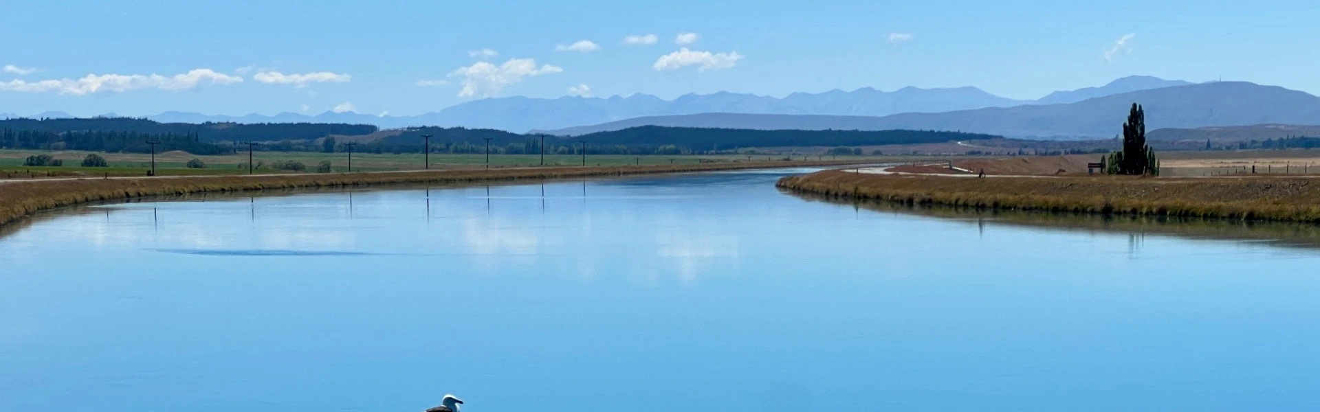
From Pioneer Dr, continue west on SH8. You'll find shops and food/drink/accommodation along here. Tekapo to Twizel (via Tekapo Canal) - 54.5km Note: The Tekapo Canal route may on occasion close at short notice due to high winds and/or Genesis Energy requirements. Please check the Alerts page prior to your departure. From SH8, turn south onto Aorangi Crescent then after 350m right into Andrew Don Dr and follow that 2.5km to the Tekapo A Power Station, crossing the outlet flow. From there continue on the Tekapo Canal Road for 22km (crossing SH8 after 12km, please take care). Te Araroa track branches away from the canal road on the The Pylon Track at km 2,465.5. Cross over the fence using the stile, and follow the marked path through high country tussock until you reach a well formed old farm track at km 2,469.9. Follow this road until the marked route temporarily takes you off this farm track at km 2,474.4 to a mowed camping area near an old stock tank to provide water. The water comes from the canal, so you should filter it. Follow the markers from here back to the formed road and follow it down to a gate onto Hayman Road on the shore of Lake Pukaki at km 2476.5. Cross the fence using the stile, and continue on the A2O. Cyclists should continue along Tekapo Canal Road to reach Hayman Road just south of Pukaki Power Station. Head south on Hayman Road, following the A2O Cycle Trail route as it weaves on and off the strip adjacent to the lake. Further south, some 6.5km after Hayman Road leads onto SH8, toilets and drinking water are available at the Lake Pukaki Visitor Information Centre about 1km further along. It is a further 11.5km to Twizel — continue along the A2O Cycle Trail, crossing SH8 near the former information centre site, then the track heads south into the Department of Conservation’s Pukaki Flats Reserve for a further 9km then exits to the highway at Bendrose Reserve. Turn left onto the highway for one last kilometre into Twizel. You’ll see finger signs indicating the safest crosspoint just outside the town. Tekapo - Twizel Road - 4km This track traces the lower sections of the Mackenzie Basin power scheme to Lake Ōhau and then follows the lakeshore. The track also skirts Lake Ruataniwha. The track starts on SH8 outside Twizel opposite Ruataniwha Road where Te Araroa’s next section to the north is sign-posted. From here follow the gravelled walk/cycleway south for 2km past Meridian Energy’s Twizel office, then continue on down the side of the road to cross the spillway and then the bridge over the Ōhau B canal. Lake Ōhau Track - 28.5km Once across the canal bridge (i.e. before the salmon farm and Ōhau Riverside Drive) join a formed track that runs along the terrace above Lake Ruataniwha for about 3km. From the end of this track the trail joins Ōhau Riverside Drive and descends around a cove with a large patch of rushes at its head. Beyond the cove, travel is predominantly on the road to the lake head and beyond along the Ōhau River to the Weir at Lake Ōhau. From the Weir, the Trail connects again with the Alps 2 Ocean Cycleway, skirting around the side of Lake Ōhau for 9km before joining back onto Lake Ōhau Road. Turn right onto the road and follow the road shoulder to Lake Middleton (DOC campground here), then follow the eastern shore to the lakehead. Return to the road shoulder here and walk past the Alpine Village to a small stand of beech. From this point, there is a good track between the road and Lake Ōhau around to Glen Mary Ski Club. Lake Ōhau Lodge is another 3km further north along Lake Ōhau Road and Ōmārama, a small tourist village, is 37km to the south, back down Lake Ōhau Road then right into SH8/Twizel-Ōmārama Road.
Potential hazards Vehicles on road or track be aware of cars on road and cyclists on shared tracks Track exposed to sun, wind or cold Few water sources - please treat water before drinking
Northern Start: Junction of Pioneer Drive and SH8, Lake Tekapo Village Southern End: Glen Mary Ski Club, Lake Ōhau Road Cycle Options As a change of pace you may wish to check out the Official Alps 2 Ocean Cycle Trail for a list of Official Partners to the Cycle Trail including transport, bike hire and accommodation options. You can also call us on 0800 266 5226 or drop us an email at info@alps2ocean.com . The Alps 2 Ocean Cycle Trail is free to use by both cyclists and walkers and the two trails (the Te Araroa and the Alps 2 ocean Cycle Trail) follow the same route in parts over this section. Since our paths cross, we would be happy to assist you on your Te Araroa journey or suggest some interesting side trips and sights along the way. Alps 2 Ocean offer cycle hire between Tekapo and Twizel/Lake Ōhau, as an alternative to the long walk. P: 0800 425772 - E: info@alps2ocean.co.nz Cycle Journeys is pleased to offer Te Araroa walkers bike hire, along with bike and luggage transfers between Tekapo and Twizel, and Twizel and Lake Ōhau More info here. Available: 1 April 2026 - Mid May 2026, 1 October 2026 - End of January 2027, 1 April - Mid May 2027. Subject to availability. Advance booking is essential, and reservations must be confirmed by 1.00pm the day prior to riding. Phone: 03 435 0578 or 0800 22 44 75 (within NZ). Email: info@cyclejourneys.co.nz Check out this link for all TA related info - www.cyclejourneys.co.nz/alps-2-ocean/packages/day-rides/#Te-Araroa BeSpoke Bike Tours - offers bike hire and a scheduled shuttle service between Tekapo, Twizel, and Ohau. You must contact in advance using the link above, or info@bespokebiketours.nz Southbound Tekapo – Twizel $95pp or E-bike 145pp. Arrive in Twizel around 2pm Pick up and Drop off is at Twizel Holiday Park (122 Mackenzie Drive) Tekapo – Ohau 1-day trip (min 4 people required) - $130pp or E-bike $185pp. Pack drop/bike pick up at Lake Ohau Lodge around 3:00pm 2-day trip - $190pp, E-bike not available. Pack drop off/bike pick up around 2pm on day 2. Shuttle from the exit point of the Richmond Trail at Boundary Stream on Lilybank Road if we have an available driver. Next day bike hire. Northbound walkers please enquire. Twizel Daily buses to Queenstown and Christchurch InterCity - P: 03 365 1113 Atomic Shuttles - P: 03 349 0697 Cycle Journeys - For those preferring to cycle this route, cycle hire is available from Cycle Journeys who can shuttle luggage and collect bikes as needed - Twizel Depot - P: 03 435 0578 M: 027 435 0578 - Christchurch Office - P: 03 377 2060 - (Note the Twizel depot is closed May-September, arrangements can still be made via Christchurch office) Omārama Daily buses from Christchurch and Queenstown InterCity - P: 03 365 1113 - W: www.intercity.co.nz Atomic Shuttles - P: 03 349 0697 - W: www.atomictravel.co.nz
Twizel Information Centre Market Place, Twizel - P: 03 435 3124 - E: twizelinfo@gmail.com Before starting Te Araroa either as a through-walker of the whole country or a section walker, please register on Te Araroa website . Please also visit the website or download the app for detailed maps, trail alerts and other relevant information. This track is part of the Herenga ā Nuku Aotearoa track database. Herenga ā Nuku has maps and advice about public access to the outdoors . We encourage you to continue gaining the skills and knowledge required for a safe trip. The NZ Mountain Safety Council has lots of free resources and information you can use. These can be accessed via www.mountainsafety.org.nz . We recommend trying these online learning tools: Trip Planning Tramping/field Skills Basic Navigation River Safety Additionally, check out the range of helpful videos available from the NZ Mountain Safety Council YouTube channel .
Lake Ruataniwha is man-made and its dam was built between 1978 and 1981. In addition to storing water for power generation, the lake provides recreational opportunity. It’s a world-class rowing venue. It’s also where Peter Knight broke a world speed record for Grand Prix hydroplanes in 1996. In doing so he reached a speed of 286.5km/hr.
Potential hazardsVehicles on road or track be aware of cars on road and cyclists on shared tracks Track exposed to sun, wind or cold Few water sources - please treat water before drinking
Track information, access and weather can change. Confirm current alerts and land-manager information close to departure, tell someone your plans, and carry equipment appropriate for the route and conditions.