10 October 2026
Showers, with snow to 2000 metres.
Loading outdoor place details…
Aoraki/Mount Cook National Park
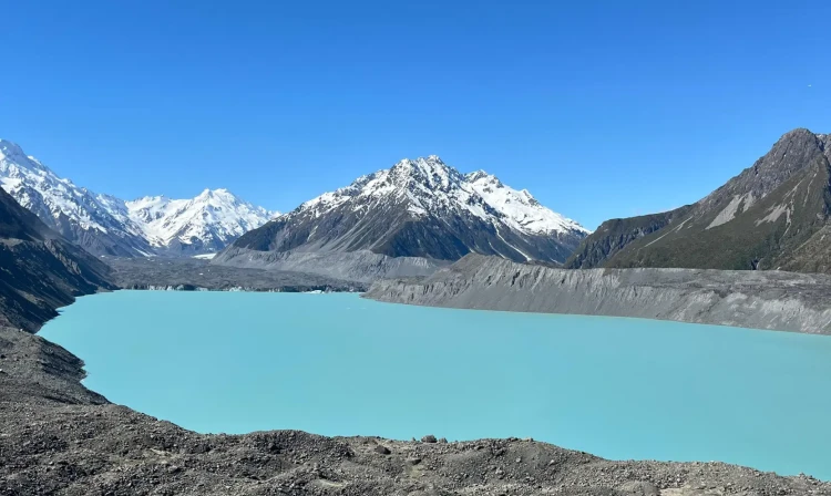
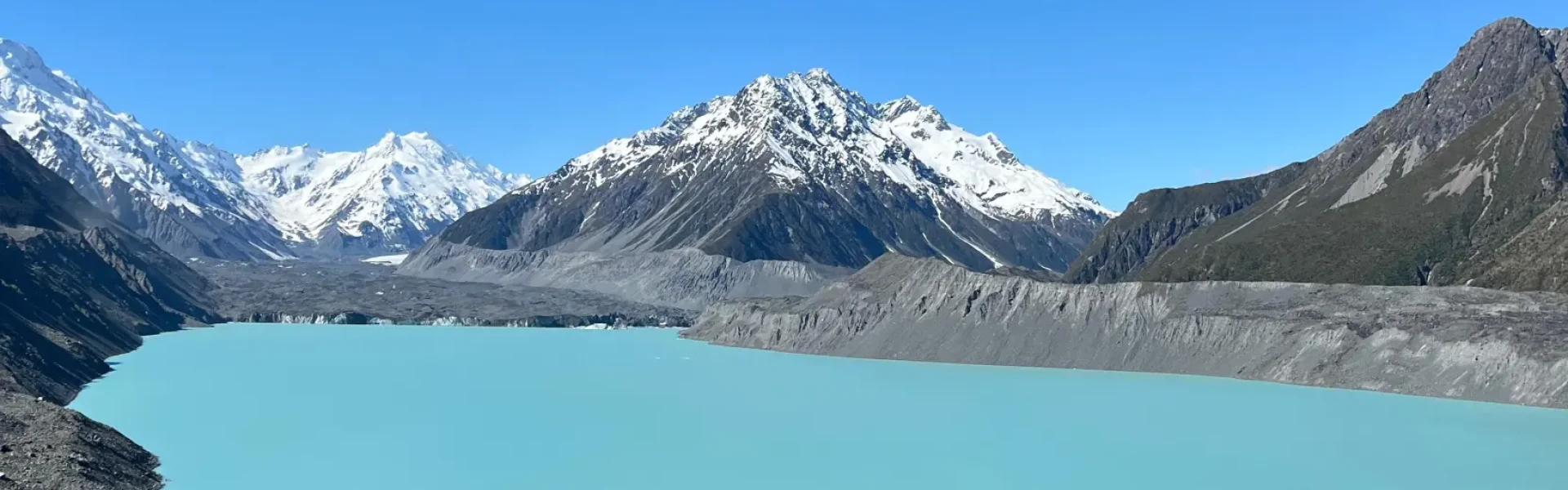
A short, steep climb rewards you with panoramic views of Tasman Lake and Haupapa/Tasman Glacier – New Zealand’s longest glacier.
Distance
1.5 km
Walking time
30 min return
Difficulty
Easy
Dogs
Not allowed
Wheelchair access
Not marked friendly
Current status
Weather outlook
Issued 10 Oct 2026, 9:23 pm
10 October 2026
Showers, with snow to 2000 metres.
11 October 2026
Showers, becoming few and far between in the afternoon, then clearing to fine in the evening.
12 October 2026
Fine.
13 October 2026
Showers developing, some heavy, with snow to 2500 metres.
14 October 2026
Rain, with heavy falls. Snow to 2400 metres.
Regional guidance only; elevation and terrain can produce different conditions.
Explore the area
Explore the track route and surrounding area before you set out.
From the carpark at the end of the Tasman Valley Rd take the track past the shelter. To check out the Blue Lakes track follow the signs and verge left, there is a track that ends at the first lake. This is a nice option for a swim on a hot summer’s day. Otherwise continue up the stairs to the Haupapa/Tasman Glacier viewpoint on the moraine wall next to the lake. There are good views of the Haupapa/Tasman Glacier terminal face, lower valley, icebergs and surrounding mountains. This walk will take approximately 40 mins return with a gradual stepped incline. In winter months the track can by icy. If you are unsure about the conditions you can call into the DOC visitor centre located in the village for up to date information.
You may not fly a drone anywhere in the National Park without a concession from DOC. There are aircraft frequently operating in this area, so it is extremely important to follow this rule for their safety. Due to its proximity to the main divide this area can experience sudden changes in weather. Please do not feed the kea.
At Lake Pukaki turn onto SH80/Mt Cook Rd. Before the village turn onto Tasman Valley Rd. Follow this road to the carpark at the end. Use this location in Google Maps to find your way there.
We encourage you to continue gaining the skills and knowledge required for a safe trip. The NZ Mountain Safety Council has lots of free resources and information you can use. These can be accessed via www.mountainsafety.org.nz . We recommend trying these online learning tools: Trip Planning Tramping / field Skills Basic Navigation River Safety Additionally, check out the range of helpful videos available from the NZ Mountain Safety Council
No dogs.
Track information, access and weather can change. Confirm current alerts and land-manager information close to departure, tell someone your plans, and carry equipment appropriate for the route and conditions.