10 October 2026
Cloud increasing, with the chance of a shower at night. Light winds.
12° / 20°
Loading outdoor place details…
Wellington
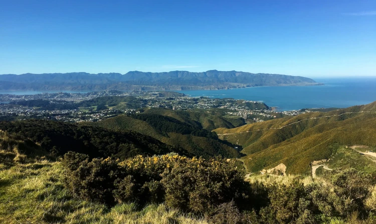
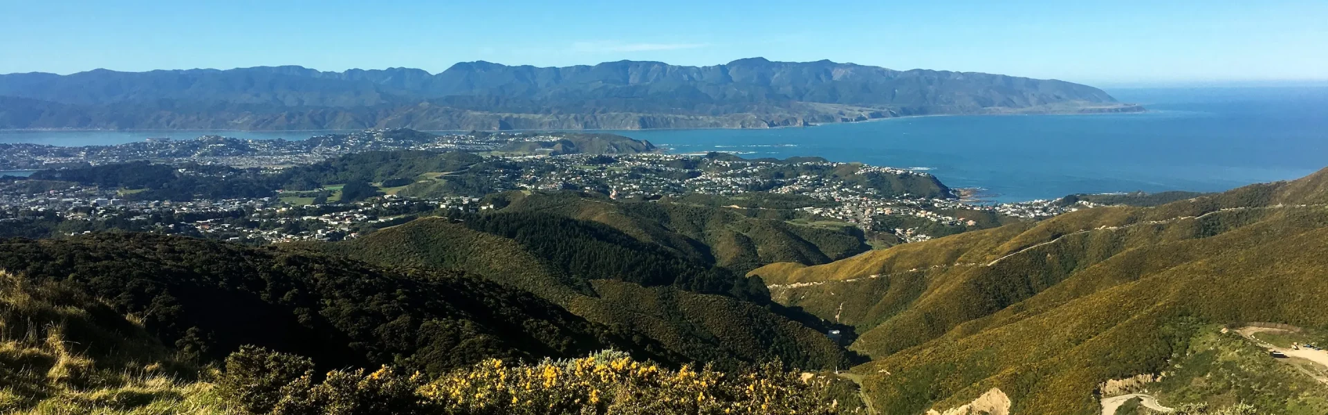
A punishing route to the top of Hawkins Hill where you can rest your legs while taking in views over Wellington.
Distance
3.2 km
Walking time
1 hr
Difficulty
Easy
Dogs
On-lead only
Wheelchair access
Not marked friendly
Current status
No active alerts found. Conditions can still change, so check again before leaving.
Weather outlook
Issued 10 Oct 2026, 9:34 pm
10 October 2026
Cloud increasing, with the chance of a shower at night. Light winds.
12° / 20°
11 October 2026
Showers, clearing to fine spells early afternoon, then clouding over towards evening with drizzle on the ranges. Northerlies.
12° / 17°
12 October 2026
Cloud clearing and becoming fine in the morning. Northerlies.
12° / 18°
13 October 2026
Occasional rain. Northerlies.
13° / 17°
14 October 2026
Occasional rain clearing in the afternoon but remaining cloudy. Northwesterlies.
10° / 16°
Regional guidance only; elevation and terrain can produce different conditions.
Explore the area
Explore the track route and surrounding area before you set out.
Known for being technically challenging and its harsh gradient, Tip Track is the steepest (and shortest) route to the top of Hawkins Hill. Best suited for advanced walkers and riders the track starts on Happy Valle y Road in Brooklyn and connects with the Red Rocks Coastal Walk. Continue along then turn onto Hawkins Hill Road and proceed to the summit.
Use this location in Google Maps to find your way there. There are regular bus services to Brooklyn, Happy Valley and the surrounding areas.
We encourage you to continue gaining the skills and knowledge required for a safe trip. The NZ Mountain Safety Council has lots of free resources and information you can use. These can be accessed via www.mountainsafety.org.nz . We recommend trying these online learning tools: Trip Planning Tramping / field Skills Basic Navigation River Safety Additionally, check out the range of helpful videos available from the NZ Mountain Safety Council YouTube channel .
Yes (on lead)
Track information, access and weather can change. Confirm current alerts and land-manager information close to departure, tell someone your plans, and carry equipment appropriate for the route and conditions.