10 October 2026
Fine spells. The odd shower, clearing this evening. Northerlies.
Loading outdoor place details…
Coromandel Town area
A short, steep track from the summit of Kennedy Bay Road, Coromandel Peninsula, leads to the Tokatea Lookout.
Distance
0.6 km
Walking time
30 min
Difficulty
Easy
Dogs
Not allowed
Wheelchair access
Not marked friendly
Current status
No active alerts found. Conditions can still change, so check again before leaving.
Weather outlook
Issued 10 Oct 2026, 4:55 pm
10 October 2026
Fine spells. The odd shower, clearing this evening. Northerlies.
11 October 2026
Showers, possibly heavy, easing to the odd light shower by midday. Scattered rain developing late evening. Northwesterlies.
12 October 2026
Showers becoming isolated in the morning but remaining cloudy. Westerlies, turning northerly for a time in the morning and afternoon.
13 October 2026
Partly cloudy, with a few showers in the afternoon. Westerlies.
14 October 2026
A few showers clearing to fine in the afternoon. Northwesterlies.
Regional guidance only; elevation and terrain can produce different conditions.
Explore the area
Explore the track route and surrounding area before you set out.
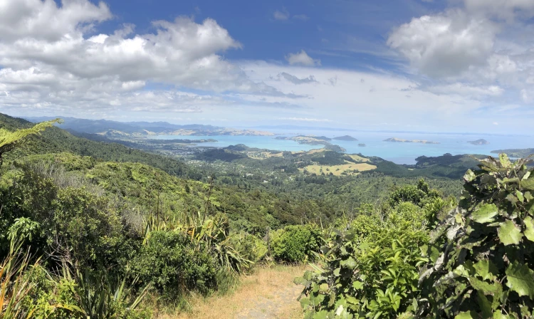
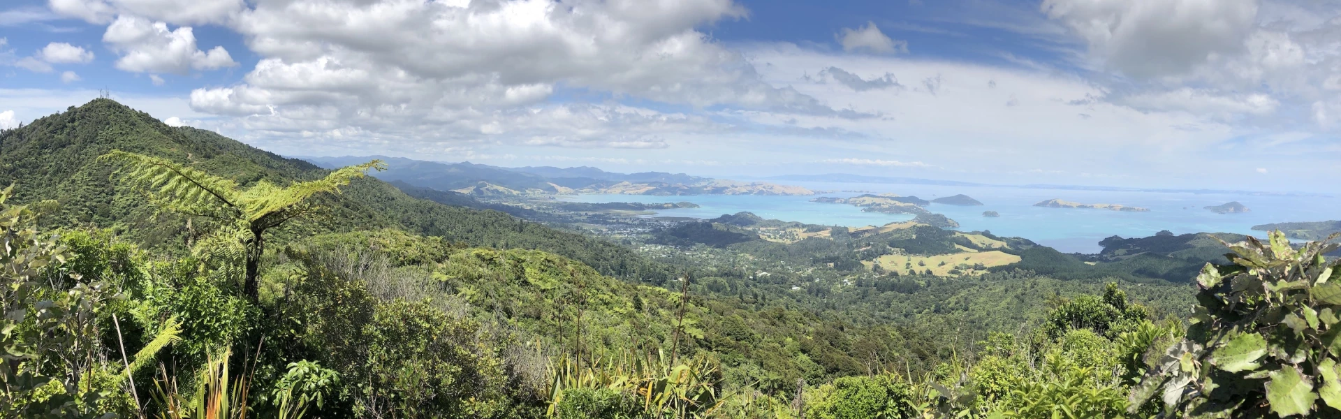
The track starts from the carpark and steeply ascends through bush to the viewpoint. Some wooden steps are present. The John H. Lucas lookout and memorial site was a post of marine surveillance and air observation manned by the Home Guard during World War II. From the summit there are views of Coromandel township, surrounding areas, and on a clear day, it is possible to see as far as the Hunua Ranges, Rangitoto Island and Waiheke Island. Return via the same track.
Mine shafts and tunnels are present in the area. Stay on track and watch children at all times. No dogs are allowed
From Coromandel township, head north on Kapanga Rd. Continue onto Rings Rd. Turn right onto Driving Creek Rd. Continue onto Kennedy Bay Rd for 2.6 km. Use this location in Google Maps to find your way there.
We encourage you to continue gaining the skills and knowledge required for a safe trip. The NZ Mountain Safety Council has lots of free resources and information you can use. These can be accessed via www.mountainsafety.org.nz . We recommend trying these online learning tools: Trip Planning Tramping / field Skills Basic Navigation River Safety Additionally, check out the range of helpful videos available from the NZ Mountain Safety Council YouTube channel .
No dogs.
Track information, access and weather can change. Confirm current alerts and land-manager information close to departure, tell someone your plans, and carry equipment appropriate for the route and conditions.