10 October 2026
Low cloud, with isolated showers from late afternoon, possibly heavy and thundery inland. Northeasterlies.
Loading outdoor place details…
Moeraki area
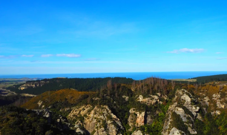
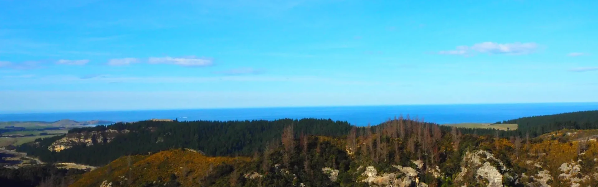
A tramping track with sea views and some large podocarp trees. This is the longest track at Trotters Gorge.
Distance
2.1 km
Walking time
2 hours
Difficulty
Advanced
Dogs
On-lead only
Wheelchair access
Not marked friendly
Current status
Weather outlook
Issued 10 Oct 2026, 4:55 pm
10 October 2026
Low cloud, with isolated showers from late afternoon, possibly heavy and thundery inland. Northeasterlies.
11 October 2026
Areas of early low cloud otherwise fine, but isolated late afternoon and evening showers. Northeasterlies, easing in the afternoon, becoming southerly in the evening.
12 October 2026
Fine. Northerlies developing in the morning.
13 October 2026
Isolated showers, becoming widespread in the evening. Northwesterlies, dying out in the evening.
14 October 2026
Occasional rain. Snow lowering to 900 metres in the afternoon. Southerlies, dying out in the morning.
Regional guidance only; elevation and terrain can produce different conditions.
Explore the area
Explore the track route and surrounding area before you set out.
This loop track starts on Trotters Cave Walk , following a tributary of Trotters Creek from the campsite through native broadleaf forest to a set of river-sculpted caves. It then climbs through kānuka forest onto the bluffs, offering views out to sea. The track descends through broadleaf forest and dry creek beds before rejoining Trotters Cave Walk. Some large podocarp trees remain, and glowworms can be seen at certain points along the track after dark.
The track starts at the Trotters Gorge Campsite . The gate to the campsite is closed to vehicles during winter because of wet conditions. You can still access the tracks and campsite on foot. Use this location on Google Maps to help find your way there.
We encourage you to continue gaining the skills and knowledge required for a safe trip. The NZ Mountain Safety Council has lots of free resources and information you can use. These can be accessed via www.mountainsafety.org.nz . We recommend trying these online learning tools: Trip Planning Tramping / field Skills Basic Navigation River Safety Additionally, check out the range of helpful videos available from the NZ Mountain Safety Council YouTube channel
Dogs on a leash only.
Track information, access and weather can change. Confirm current alerts and land-manager information close to departure, tell someone your plans, and carry equipment appropriate for the route and conditions.