10 October 2026
Partly cloudy. Easterlies, dying out in the evening.
Loading outdoor place details…
Boundary Stream area
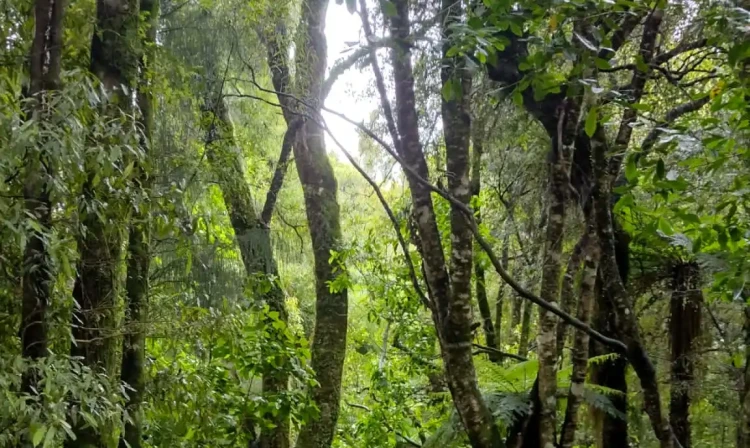
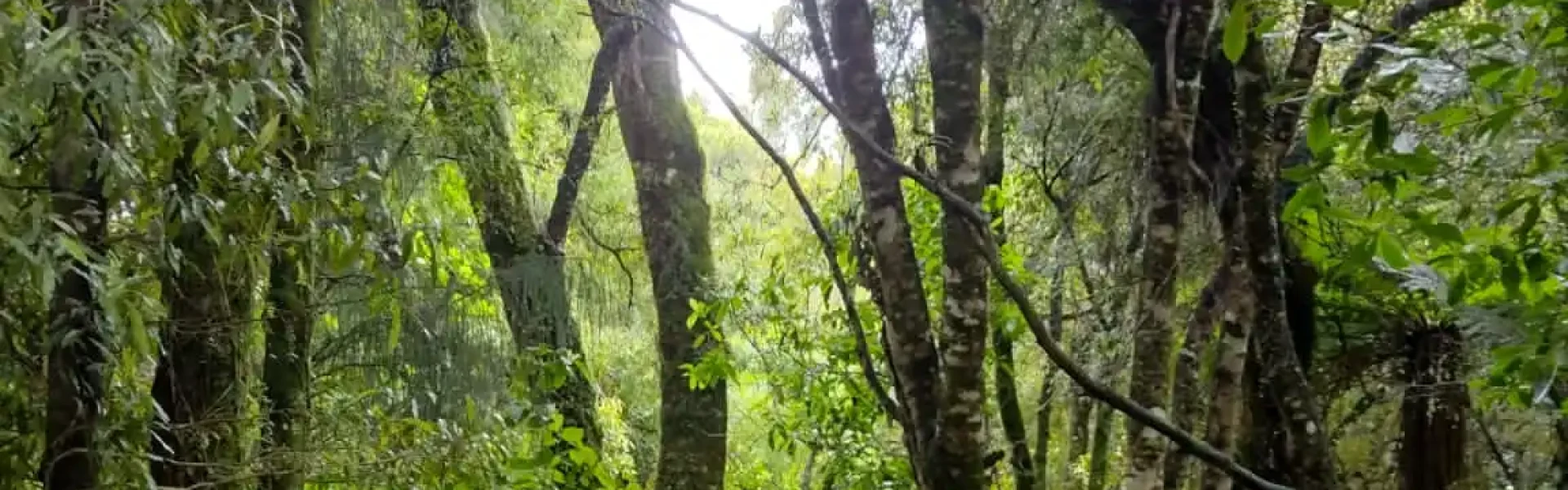
The Tūmanako Loop Track is great for children. It offers a variety of forest types, birdlife and viewpoints with evidence of pioneer logging history and subsequent natural forest recovery of kāmahi, tawa, tawhairaunui/red beech and tawhairauriki/black beech forests.
Distance
1.8 km
Walking time
1 hour
Difficulty
Easy
Dogs
Not allowed
Wheelchair access
Not marked friendly
Current status
No active alerts found. Conditions can still change, so check again before leaving.
Weather outlook
Issued 10 Oct 2026, 4:55 pm
10 October 2026
Partly cloudy. Easterlies, dying out in the evening.
11 October 2026
Mainly fine, with areas of early morning fog. Showers developing in the afternoon, possibly heavy with thunderstorms and hail, clearing in the evening. Northwesterlies developing for a time in the morning and afternoon.
12 October 2026
Fine, then a few showers developing about the ranges in the afternoon. Northeasterlies developing for a time in the afternoon.
13 October 2026
Mainly fine, but isolated showers in the afternoon. Northwesterlies developing in the morning.
14 October 2026
Fine, but becoming cloudy in the evening. Northwesterlies.
Regional guidance only; elevation and terrain can produce different conditions.
Explore the area
Explore the track route and surrounding area before you set out.
Track description Starting at the Pohokura Road car park, cross the road and immediately turn left onto the loop track. The track offers a variety of forest types, birdlife and viewpoints with evidence of pioneer logging history and subsequent natural forest recovery of kāmahi, tawa, tawhairaunui/red beech and tawhairauriki/black beech forests. Be on the search for pītoitoi/North Island robin, pōpokotea/whitehead, tītitipounamu/rifleman, kōkako and korimako/bellbird. Larger birds such as the kārearea/New Zealand falcon and kākā may also show up if you're lucky. And check out all the weta motels. How many weta's can you find? Getting there Boundary Stream Scenic Reserve is 60km north of Napier. Follow State Highway 2 to Tutira, turn left at Tutira onto Matahorua Road then left onto Pohokura Road. Use this location in Google Maps to find your way there. Helpful resources Find tips, guides and how-to videos to help you prepare for your walk at mountainsafety.org.nz
Track information, access and weather can change. Confirm current alerts and land-manager information close to departure, tell someone your plans, and carry equipment appropriate for the route and conditions.