10 October 2026
Showers, mainly inland, where some may be heavy and thundery. Northeasterlies.
Loading outdoor place details…
Lewis Pass Scenic Reserve
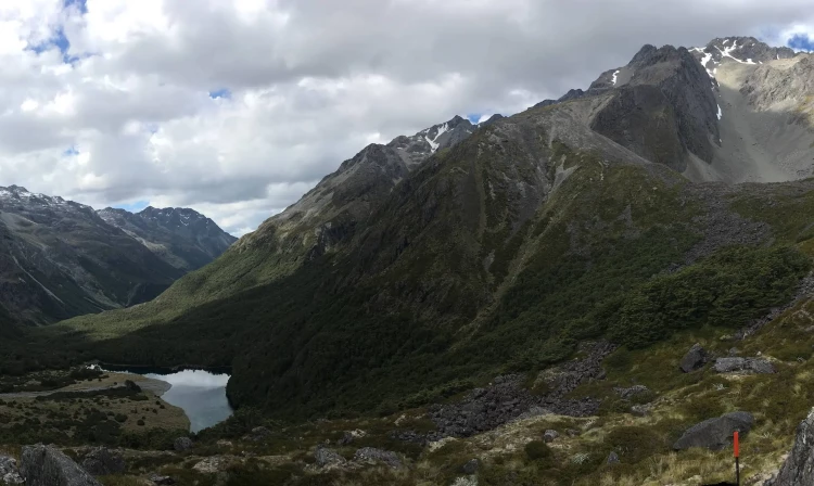
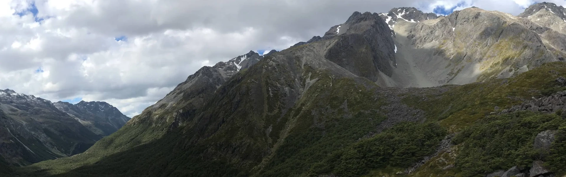
Waiau Pass Route is a very technical alpine crossing, suitable for highly experienced parties only. It links Lewis Pass and Nelson Lakes National Park. This track is part of Te Araroa Trail.
Distance
58.72 km
Walking time
8-10 days for full trip
Difficulty
Expert
Dogs
Not allowed
Wheelchair access
Not marked friendly
Current status
Weather outlook
Issued 10 Oct 2026, 11:01 pm
10 October 2026
Showers, mainly inland, where some may be heavy and thundery. Northeasterlies.
11 October 2026
Showers, possibly heavy, easing in the afternoon, clearing early evening. Northerlies, turning westerly in the afternoon, easing in the evening.
12 October 2026
Fine. Northwesterlies developing for a time in the afternoon.
13 October 2026
Mostly cloudy with isolated showers, becoming widespread for a time in the morning and afternoon. Northwesterlies developing in the morning.
14 October 2026
Rain with some heavy falls. Northerlies.
Regional guidance only; elevation and terrain can produce different conditions.
Explore the area
Explore the track route and surrounding area before you set out.
Distance: 7 km
Distance: 10 km The track begins from the Tarn Nature Walk, across a natural bog, then enters the bush, descending 150 metres in a steep zigzag to Cannibal Gorge and the Maruia River. A swing bridge crosses Cannibal Gorge to the true right bank. From here it is about 6 km to the Cannibal Gorge Hut. Past the hut, the track follows an easy grade alongside the Maruia River, through beech forest and open alpinefields (prone to avalanches) to the Ada Pass Hut.
Distance: 10.5 km This section of the track is on St James Station. From the hut, the track leads through bush over the Ada Pass and into the Ada Valley. Beech forest opens to areas of tussock with patches of mountain beech. Orange triangles at the clearing edge indicate the track through bush areas, following the true right of the Ada River. At the junction of the Ada and Christopher Rivers, the track passes the historic Christopher (Ada) Cullers Hut. The Christopher Hut is a 10 - 15 minute walk from this point, close to the edge of the bush.
Distance: 17 km Cross the Ada River below the Christopher Hut and follow the 4WD track into the Waiau Valley. To reach Waiau Hut, follow up the Waiau River on the true right bank over mainly broad, grassy flats. Two old, bush-covered terminal moraines are crossed further up the Waiau as the valley starts to narrow.
Distance: 3 km Continue up the true right of the Waiau River to reach Caroline Bivvy.
Distance: 5 km Continue up the true right of the Waiau River until it veers left near the forks. Take care as the track may be overgrown in places. Cross the river and follow up a natural open area and past a good camping spot in the last stand of beech, before emerging into an area of mixed scrub. It is essential you follow the orange markers to follow the best route.
Distance: 2 km The track now crosses the east branch of the river, then climbs through scrub, where a few cairns and remnants of track lead well up the valley of the west branch to a tussock ridge. Climb this to reach the foot of low bluffs. Ascend up easy ledges and tracks, then cross several tussock terraces, still climbing until spaced steel marker poles lead the way up a steep rocky ridge. At the top the route leads left on easy going to Waiau Pass.
Distance: 5 km Follow the poles down the pass, then turn right along a prominent terrace before descending scree slopes to Rotopōhueroa/Lake Constance. Bluffs on the left (west) side of the lake block your route, so climb steeply for 150 metres before edging above these bluffs. Stay at the same altitude until near the lower end of the lake where you can descend onto rubble slopes. From here you will soon pick up a track crossing the vegetated moraine wall. This descends to Blue Lake Hut a short distance below.
Waiau Pass is an alpine crossing suitable for experienced parties only. Snow craft experience is required and equipment taken should include at least an ice axe. Weather conditions can deteriorate rapidly and icy snow conditions can be experienced at any time of the year. Note: True right and left banks of a river are determined when facing downstream.
Cannibal Gorge Hut Ada Pass Hut Christopher Hut Waiau Hut Caroline Creek Bivvy Blue Lake Hut
The track begins in the Lewis Pass area, from the Tarn Nature Walk.
We encourage you to continue gaining the skills and knowledge required for a safe trip. The NZ Mountain Safety Council has lots of free resources and information you can use. These can be accessed via www.mountainsafety.org.nz . We recommend trying these online learning tools: Trip Planning Tramping / field Skills Basic Navigation River Safety Additionally, check out the range of helpful videos available from the NZ Mountain Safety Council YouTube channel .
Heavy rain is frequent from the west and large accumulations are possible about the head waters so rapidly rising river and streams are possible. Southerly changes can bring rapidly deteriorating conditions.
No dogs.
Track information, access and weather can change. Confirm current alerts and land-manager information close to departure, tell someone your plans, and carry equipment appropriate for the route and conditions.