10 October 2026
Cloud increasing, then showers from around midday, possibly heavy and thundery inland. Northeasterlies developing this morning.
Loading outdoor place details…
Kahurangi National Park
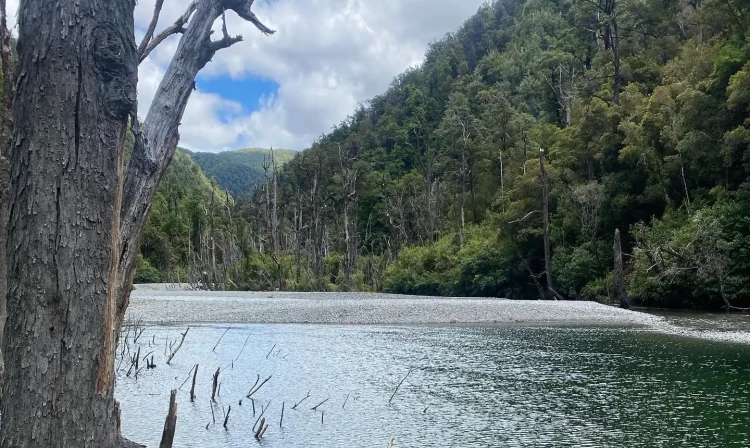
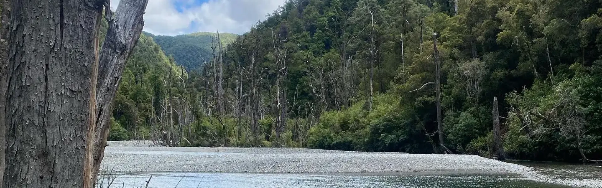
The Wangapeka route crosses Kahurangi National Park - it crosses two saddles and travels through the beautiful beech-forested valleys.
Distance
59 km
Walking time
4 - 6 days one way
Difficulty
Advanced, Expert
Dogs
Not allowed
Wheelchair access
Not marked friendly
Current status
Weather outlook
Issued 10 Oct 2026, 10:55 am
10 October 2026
Cloud increasing, then showers from around midday, possibly heavy and thundery inland. Northeasterlies developing this morning.
11 October 2026
A few showers, clearing in the evening. Northerlies, dying out in the evening.
12 October 2026
Mainly fine, rain at night. Northwesterlies developing for a time in the afternoon.
13 October 2026
Occasional rain. Light winds.
14 October 2026
Rain with heavy falls, easing in the evening. Northerlies, dying out in the morning.
Regional guidance only; elevation and terrain can produce different conditions.
Explore the area
Explore the track route and surrounding area before you set out.
This section is classified as a tramping track. Rolling River car park to Kings Creek Hut Time: 3 hr 30 min Distance: 11.4 km The track follows the river to Kings Creek Hut. About 1 hr 30 min from the Rolling Junction road end, you’ll cross debris from a 2012 landslip that created a natural dam across the Wangapeka River. Take care: follow the marked route swiftly, using a spotter if possible to watch for any rockfall. In heavy rain, those downstream of the dam should move at least 20 m above the riverbed if the water suddenly appears discolored. The track then continues on the true right of the Wangapeka River to Kiwi Stream, where you’ll cross a bridge to the true left and walk 30 minutes to Kings Creek Hut. From this point, a 4-hour side trip to Kiwi Saddle Hut offers access to explore Mount Patriarch and the Luna Tops in good weather. Cross both the Wangapeka River and Kiwi Stream bridges, following the track on the true left to reach the hut. Cecil Kings Hut, a restored historic hut, is 5 minutes further along the main track from Kings Creek Hut, with sunny camping spots available nearby by the river. Kings Creek Hut to Stone Hut Time: 2 hr 30 min Distance: 8.3 km The track continues to climb steadily alongside the gradually narrowing Wangapeka River, to a bridge half an hour before Stone Hut. There are good camping sites at the hut.
This section is classified as a route – suitable for people with a high level of backcountry (remote area) skills and experience. Navigation and survival skills are required. Stone Hut to Helicopter Flat Hut Time: 4 hr Distance: 10.4 km The route crosses a huge slip, then climbs steeply to Wangapeka Saddle (1,009 m), where the route over the spectacular Biggs Tops to Trevor Carter Hut begins (see below). From the saddle the route descends on a gentle grade, fording Chime Creek, or if it is in flood crossing by a walkwire 100 m upstream. It continues down to the Karamea river bed, crosses the river and proceeds down the true left bank. There are two more crossings of the Karamea, but if the river is in flood, fording can be avoided by a signposted diversion (an extra 20 min). Other unbridged side creeks may be impossible to cross after heavy rain. The route soon arrives at Waters Creek, just before Helicopter Flat Hut. If the creek is in high flood there is another walkwire crossing 30 m upstream. Alternative Route: Biggs Tops/Trevor Carter Hut between Wangapeka Saddle and Taipo footbridge Time: 5 hr At Wangapeka Saddle a route leads over Biggs Tops and heads steeply down to Trevor Carter Hut. From here there are three ways to get back on the main route: Lost Valley Track to Helicopter Flat Hut; Saxon Falls Track, rejoining near Tabernacle lookout; or across the Karamea and along its true left bank to Taipo footbridge. Helicopter Flat Hut to Taipo Hut Time: 3 hr 30 min Distance: 8.6 km The route follows the Karamea River and sidles through bush to the Tabernacle lookout above, where the river drops away over Saxon Falls. It then continues and drops down to the Taipo footbridge. From the bridge, the route climbs steadily beside Taipo River for several kilometres to Taipo Hut. There are good camping sites below the helicopter pad. Taipo Hut to Belltown Manunui Hut Time: 7 hr Distance: 11.2 km The route gradually gets steeper towards Stag Flat Bivvy which is adjacent to the route. From the bivvy the route winds steeply up to the Little Wanganui Saddle, the highest point on the route (1,087 m); snow can be a problem here during winter. It then passes Saddle Lakes and drops steeply to the Little Wanganui River. Just prior to crossing to the true right via a swing bridge, a signposted side-track leads to Little Wanganui Gorge Shelter, 150 m from the main track. After crossing the swing bridge the route continues to Tangent Creek, then climbs above the river and sidles around the gorge, returning to the river at Smith Creek. McHarrie Creek (between Tangent and Smith Creeks) is unbridged and cannot be crossed during high rainfall. A little further downstream the route leads to a junction on the right where Belltown Manunui Hut is set back 60 m from the main track. Belltown Manunui Hut to Wangapeka Road car park Time: 4 hr Distance: 9 km After leaving the hut, the route continues for another 1 km, crosses the Lawrence Stream swing bridge, then passes over a large grassy clearing known as Gilmor Clearing. The route then heads away from the river, following an old access road for approximately 3 km before heading back toward the Little Wanganui River. It is a further 4 km to the end of the route at the Wangapeka Road car park. The section of route between the Little Wanganui Saddle and Wangapeka road-end is often the most affected by adverse weather. Due to damaging cyclones in 2014, 2015 and 2018 expect windfallen trees and slips which can be difficult to negotiate, users should be fit and experienced to deal with these conditions, and take care when crossing damaged areas.
Navigation and survival skills are required. Above-average fitness and sturdy boots are recommended. Most major rivers have bridges or a high-water alternative track, but expect unbridged streams and river crossings. Do not cross if the river is flooded, you cannot find safe entry and exit points or are unsure it’s safe. Turn back or wait for the river to drop. If in doubt, stay out.
Kings Creek Hut Kiwi Saddle Hut Cecil Kings Hut Stone Hut Helicopter Flat Hut Belltown Manunui Hut
From Tapawera (62 km from Nelson), follow the signposts west to the Wangapeka valley. On the Wangapeka River junction with Dart River is a concrete ford. If you’re planning to cross the Dart Ford by vehicle, identify suitable conditions first. Due to ongoing gravel migration filling the ford, the river is flowing over the ford even at low water levels. The ford may be impassable after heavy rain. Check river flow for Wangapeka at Walter Peak on the Tasman District Council website before you head out. As a guide, if the flow indicated on the graph exceeds 40 cumecs then it is not advisable to cross. However, the river may still be unsafe to cross because: the flow shown on the website can be inaccurate, or the Dart River may be flowing higher than the Wangapeka indicates, or the culverts under the ford may be choked with gravel. After crossing the ford and continue 7 km up the valley to Prices clearing, where there is an information kiosk and intentions book. The track starts 1 km further on at the Rolling River car park. This gravel road is not suitable for caravans or campervans. From the West Coast road, turn off at Little Wanganui (80 km north of Westport, 18 km south of Karamea) and drive inland for 5 km on Wangapeka Road to the car park, where the track begins. Use this location on Google Maps to help find your way there.
We encourage you to continue gaining the skills and knowledge required for a safe trip. The NZ Mountain Safety Council has lots of free resources and information you can use. These can be accessed via www.mountainsafety.org.nz . We recommend trying these online learning tools: Trip Planning Tramping / field Skills Basic Navigation River Safety Additionally, check out the range of helpful videos available from the NZ Mountain Safety Council YouTube channel
No dogs.
Track information, access and weather can change. Confirm current alerts and land-manager information close to departure, tell someone your plans, and carry equipment appropriate for the route and conditions.