11 October 2026
Rain, heavy at times, easing to showers in the morning, then clearing to fine in the evening.
Loading outdoor place details…
Kahurangi National Park
Travel through expansive tussock downs, lush forests and nīkau palms to the roaring seas of the West Coast. Mountain bikes are allowed between 1 May and 30 November.
Distance
78.4 km
Walking time
4-6 days
Difficulty
Intermediate
Dogs
Not allowed
Wheelchair access
Not marked friendly
Current status
Weather outlook
Issued 10 Oct 2026, 9:23 pm
11 October 2026
Rain, heavy at times, easing to showers in the morning, then clearing to fine in the evening.
12 October 2026
Fine, but becoming mostly cloudy with isolated showers in the evening.
13 October 2026
A few showers.
14 October 2026
Rain, with heavy falls.
15 October 2026
Occasional rain.
Regional guidance only; elevation and terrain can produce different conditions.
Explore the area
Explore the track route and surrounding area before you set out.
About 180 m upstream from the hut, cross the bridge over the Brown River, then a grass flat, before winding up a well-defined track and into the bush. The track climbs gradually, following a route once surveyed for a road. After 4 hours, Aorere shelter is reached. From here, the Aorere Valley is seen extending northwards and on clear days it is possible to see Mt Taranaki/Egmont. Thirty minutes before Perry Saddle Hut, a short track leads to a viewpoint at Flanagans Corner. At 915 m, this is the highest point on the track. Perry Saddle Hut is 880 m above sea level. Near the hut in Gorge Creek is a deep but cold pool, popular for swimming.
Cross Perry Saddle and sidle above Perry Creek through tussock clearings and patches of beech. Soon the valley widens and the track climbs a small rise to where the Gouland Downs, an open tussock area, is revealed stretching out to the west. The track meanders easily down to Cave Brook, passing the famed pole to which trampers have tied old boots over the years. Just beyond the brook is Gouland Downs Hut . Nearby, a small patch of beech grows on a limestone outcrop which has escaped erosion. This area is worth exploring. The track crosses one of several limestone arches, which are the remnants of old caves. Nearby, a small waterfall flows out of another cave passage.
Beyond Gouland Downs Hut the track is relatively level as it crosses the northern part of Gouland Downs. The tussock country and riverbeds make for good exploring but, when the mist lowers, the featureless downs can be confusing and it is easy to become disorientated. Saxon Hut , nestled near the end of the downs, is named after John Saxon, who surveyed the track in 1886.
From Saxon Hut the track drops slightly to grassy flats beside the Saxon River and then climbs gently up to a broad ridge, which joins Gouland Downs to Mackay Downs. Warning: A section on Mackay Downs floods in extremely wet conditions. This is a 70 m piece of the track across a wetland and a bridge. It becomes impassable and quite dangerous. Walkers should wait for the water to recede. The track now skirts the edge of Mackay Downs to James Mackay Hut, winding in and out of several small streams, just before they tumble off the downs and fall to the Heaphy River on the left. The vegetation is alternately tussock field and shrub-fringed patches of beech forest. Small creeks dissect the landscape and the pink granite sparkles and crunches beneath your feet. James Mackay Hut is situated just above the track on an open terrace. The Tasman Sea and Heaphy River mouth can be seen from here, 15 km to the west and 750 m below. It is named after the explorer who first pressed for a bridle track to be established between Collingwood and the West Coast.
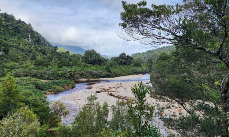
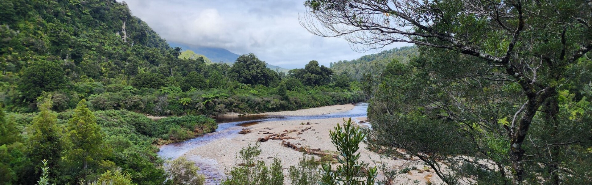
Beyond James Mackay Hut, a gradual descent to the Heaphy River begins. The track is through beech forest at first but soon the richer and taller forest typical of the West Coast becomes dominant. Occasional tantalising glimpses of the Heaphy River below are seen through the forest. The sounds of rushing water grow louder and suddenly the shelter appears at the junction of the Heaphy River with the smaller Lewis River, along with sandflies and the first nikau palms. From Lewis Shelter, head back up the track for a short distance and cross the Heaphy River, via the 148.4 metre suspended deck suspension bridge – the longest ever built by DOC. The track continues along the left bank to the river mouth through a forest of kahikatea, rimu and rata. Glossy-leaved shrubs perch precariously in the tall trees, flourishing in the abundant light and extracting nutrients from humus (accumulated plant debris) in their hosts’ branches. In dry spells, the sluggish river meanders along peacefully, but in times of heavy rain especially when it’s high tide, sections of the track and bridges get flooded. An area of limestone and karst locally known as Cave Stream about 15 min before Heaphy Hut , floods after periods of heavy rain. It's not safe to proceed when the track is flooded – you should wait for river levels to drop in either Lewis Shelter or Heaphy Hut. The river mouth is at the junction of two pounamu (greenstone) trails and archaeological work has uncovered evidence of occupation by Māori that extends back 500 years. In 1905, an extensive European settlement was surveyed in the lower valley, but it was never built. Warning: Do not swim at the Heaphy River mouth as strong currents may wash you out to sea.
Warning: Sections of the coastal track between Heaphy Hut and Kohaihai may be affected by large wave surges during high tides and rough seas which can cause the track to be temporarily impassable. Check the LINZ tide timetable for Westport and subtract 30 minutes to calculate the tide times for this section. The Heaphy River mouth is an exciting place. The river surges out through a narrow gap into the sea - in-coming waves halt the flow and the churning of salt and fresh waters is spectacular. The track south to Kohaihai is through forest although beach walking is possible in some places. Some of the small streams are not bridged and can be dangerous after heavy rain. The forest has rata and karaka trees, many vines and groves of nikau palms. Be careful of the stinging nettle that grows in places. Just beyond Katipo Creek is Crayfish (Koura) Point. There is a high-tide track above the beach well away from the sea. The only risk that still faces people here is to take care crossing Crayfish Stream particularly after or during rainfall as it can flood quickly (but also drops quickly). Soon Scotts Beach is reached – the clearing here is a good spot to rest before climbing over Kohaihai Saddle and down through wind-blasted shrubs to a bridge across the Kohaihai River. The track follows the riverbank for 400 m to Kohaihai carpark where there is a shelter and phone.
There are 7 huts and 9 campsites, which must be booked well in advance all year round. For a 4-day, 3-night trip, most walkers stay at Perry Saddle, James Mackay and Heaphy Huts. For a 5-day, 4-night trip, most walkers stay at Perry Saddle, Saxon, James Mackay and Heaphy Huts. Brown Campsite Brown Hut Aorere Shelter Campsite Perry Saddle Campsite Perry Saddle Hut Gouland Downs Campsite Gouland Downs Hut Saxon Campsite Saxon Hut James Mackay Campsite James Mackay Hut Heaphy Campsite Heaphy Hut Katipo Creek Shelter Campsite Scotts Beach Campsite Kohaihai Campsite
The Heaphy Track is not a circuit, so transport will need to be arranged in advance: Bus and taxi services are available to reach either end of the track from nearby towns. Regular bus services link Nelson and Westport. An exciting alternative is to use air services. Several local operators provide services between Karamea and Golden Bay and can arrange to pick you up and drop you off at the ends of the track. Vehicle relocation services are also available. There is a telephone at Brown Hut – local calls for transport are free. There is also mobile coverage at Kohaihai Campsite. Use the following links in Google Maps to find the ends of the track at Brown Hut and Kohaihai Campsite .
We encourage you to continue gaining the skills and knowledge required for a safe trip. The NZ Mountain Safety Council has lots of free resources and information you can use. These can be accessed via www.mountainsafety.org.nz . We recommend trying these online learning tools: Trip Planning Tramping / field Skills Basic Navigation River Safety Additionally, check out the range of helpful videos available from the NZ Mountain Safety Council YouTube channel .
Exposed to Aotearoa’s prevailing westerly winds means that large rainfall accumulations can accompany gales from the northwest through the southwest. Active frontal systems are the ones to watch. Many sections of the track flood, leaving some areas completely impassable. Some rivers will reach neck height in certain conditions. If the track does flood, wait for the water to subside before continuing. On the coastal section, between Heaphy Hut and Kohaihai parts of the track may be affected by large wave surges during high tides and rough seas which can cause the track to be temporarily impassable. Check tide timetables
No dogs.
Track information, access and weather can change. Confirm current alerts and land-manager information close to departure, tell someone your plans, and carry equipment appropriate for the route and conditions.