11 October 2026
Showers, possibly heavy, clearing to fine in the morning, then cloud and the odd shower developing at night. Northwesterlies.
Loading outdoor place details…
Coromandel Forest Park
Walk to the beautiful Wentworth Falls on an easy track alongside the Wentworth River, before climbing to a good view of the falls.
Distance
6.67 km
Walking time
3 hr
Difficulty
Easy
Dogs
On-lead only
Wheelchair access
Not marked friendly
Current status
No active alerts found. Conditions can still change, so check again before leaving.
Weather outlook
Issued 11 Oct 2026, 5:43 am
11 October 2026
Showers, possibly heavy, clearing to fine in the morning, then cloud and the odd shower developing at night. Northwesterlies.
12 October 2026
Occasional rain, clearing in the evening. Northwesterlies.
13 October 2026
Partly cloudy, with isolated showers in the afternoon and evening. Northwesterlies.
14 October 2026
Partly cloudy with isolated showers. Northwesterlies developing in the morning.
15 October 2026
Showers developing. Northerlies, turning westerly.
Regional guidance only; elevation and terrain can produce different conditions.
Explore the area
Explore the track route and surrounding area before you set out.
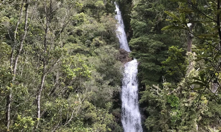
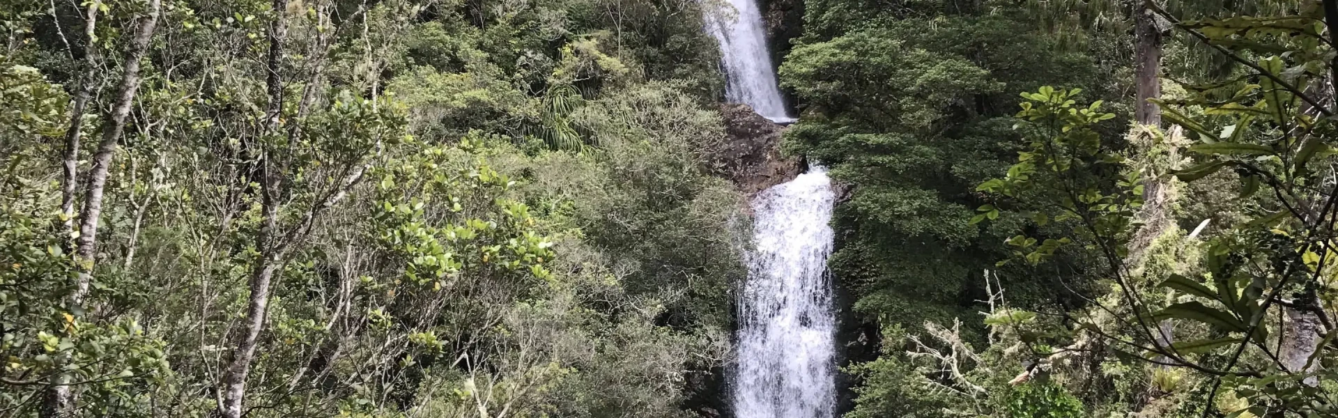
Wentworth Falls are accessible from the end of Wentworth Valley Rd near Whangamata on an easy walking track. The falls viewing platform is about 3.5 km from the parking area, with access along a well-formed and easy track with only a few steps to get to the platform. The track follows quite close to the stream for most of the way to the falls. Stream crossings are bridged. The falls consist of two drops of about 20 metres each, and can be seen well from the platform. The falls are best viewed earlier in the day with the sun shining on them, or on a cloudy day with less contrast between the vegetation and the falls. A short distance, about 200 m further on, with an easy climb, gives access to the top of the falls. There’s even a view down the valley to the sea near Whangamata from the track. The DOC signs indicate a time of 1 h 15 m in each direction, or 2 h 30 m to the falls and back. It is possible to continue beyond the falls to the main range. From here on, the track becomes a tramping track known as the Maratoto - Wentworth Crossing . Taking the Wentworth Mines Walk on the way back adds about 1.5 km to the length of the walk. The track is rough in places and not well marked. Two mine entrances are located next to the track. Rockfalls make these potentially dangerous to enter.
Stop kauri disease and protect kauri Scrub all soil off shoes and gear. Use cleaning stations. Always stay on the track. How you can help save kauri
Wentworth Valley Campground , at the end of Wentworth Valley Rd, is located at the start of the track.
From SH25, 7 km south of Whangamata on the Coromandel Peninsula, turn onto Wentworth Valley Road. The parking area is at the end of the road on the left. The access to the campground office on the right. Use this location in Google Maps to find your way there. Note: Wentworth Valley Rd has a ford which should be passable by any vehicle except after heavy rain.
We encourage you to continue gaining the skills and knowledge required for a safe trip. The NZ Mountain Safety Council has lots of free resources and information you can use. These can be accessed via www.mountainsafety.org.nz . Level up in your outdoor knowledge with these interactive online learning tools: Trip Planning Tramping / field Skills Basic Navigation River Safety Additionally, check out the range of helpful videos available from the NZ Mountain Safety Council YouTube channel .
Dogs on a leash only.
Track information, access and weather can change. Confirm current alerts and land-manager information close to departure, tell someone your plans, and carry equipment appropriate for the route and conditions.